Download
Preview
Add to list
More
8.1 km
~1 hrs 58 min
209 m
Loop
“A vibrant trail-to-be tale—share the missing start details, and we’ll map your next adventure.”
I’m missing a few key details needed to write this accurately (especially the start location). Please paste either a HiiKER link or the trailhead coordinates, plus the missing fields below, and I’ll turn it into a full, ready-to-plan hike description with distances in km + miles, elevation in m + ft, landmarks, hazards, wildlife, history, and how to get there by car/public transport.
- Trailhead location (one of):
- Latitude/longitude (I’ll convert to the nearest known address/landmark), or
- Nearest town/park + state/province/country, or
- A HiiKER route link
- “Hike head: near …” (it’s currently blank)
- Hike type (loop/out-and-back/point-to-point — you listed “Loop” in the name, but I don’t want to assume)
- Any preferences/constraints:
- Best season or target month?
- Any must-see features (waterfall viewpoint, swimming hole, bridge crossing, etc.)?
- Are dogs allowed / do you want dog-specific notes?
If you already have coordinates, send them like this:
- Trailhead: 35.12345, -82.12345
- (Optional) Parking: 35.12300, -82.12400
Once I have that, I’ll also include: - Driving approach + parking reality (fees, gates, overflow, typical weekend crowding) - Public transport approach (closest stop + walking distance to the trailhead) - Route breakdown with approximate distance/elevation by segment - What to watch for (slick rock near falls, high water at crossings, bridge exposure, ticks/snakes, etc.) - Navigation notes using HiiKER only

Surfaces
Dirt
Unknown
Paved
Unpaved
Asphalt
Ground
Wood
Comments and Reviews
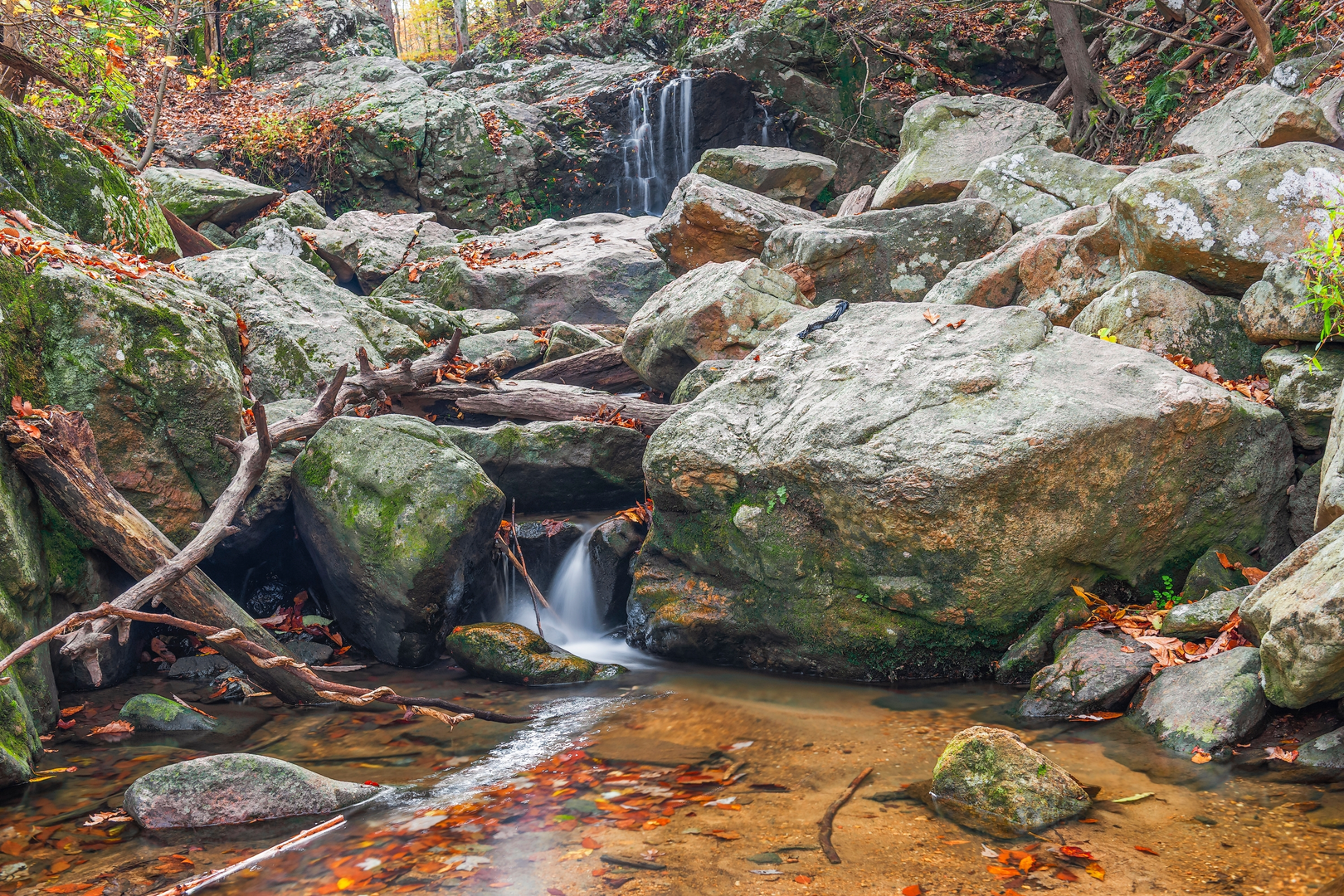
User comments, reviews and discussions about the Swinging Bridge and Cascade Falls Loop, Maryland.
average rating out of 5
0 rating(s)