
Maps are the heart of HiiKER.
OS, Harvey, IGN, Kompass, USGS, Purple Lizard — the world's best topographic maps, in one app.
Day hikes. Weekend loops. Multi-day backpacking. Long-distance trails. Every kind of hike, for every kind of hiker — from the family loop on a Sunday afternoon to the Tour du Mont Blanc.
"Don't hike with bad maps."

HiiKER isn't trying to be everything to everyone. We're a hiking toolkit, and these are the five things we work on every single day.
OS, Harvey, IGN, Kompass, USGS, Purple Lizard — the world's best topographic maps, in one app.
Day hikes. Multi-day epics. Accommodation, refills, alt routes — baked into one tool.
Huts, bothies, summits, water sources, campsites, viewpoints, trailhead parking. The things that matter when you're hiking — not when you're driving past.
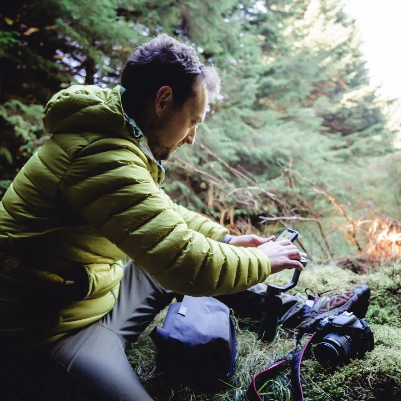
Offline-first navigation, because the mountain has no signal. GPS recording. Route safety. Trailhead approach. Apple Watch and Wear OS for when your phone's in your pack — with the same quality maps on your wrist.
Convincing someone to hike and then selling them a tool that stops working in the mountain — where they actually need it — is wrong. Most other apps charge extra for offline. We don't. That's a line we won't cross.
We license, curate and render the same maps cartographers and mountain rescue teams trust. Then we put them in your pocket, offline, in one app.
Ordnance Survey GB
United Kingdom
EastWest Mapping
Ireland
Harvey Maps
UK trails
IGN
France
USGS Topo
United States
Purple Lizard
United States
And many more — see all our map providers
From the founder
I have been fascinated by exploring on foot since I was a kid — the idea that you could just go anywhere with nothing but your own two feet was freeing. As I got older, I found that the harder the journey was to get somewhere, the more rewarding it was when you arrived. Life is the in-between.
Every summer growing up, heading to the West Coast of Ireland where my mother was from, the slightest sight of a mountain and I'd be off. As an adult, I'd hike to escape work, and I'd come back refreshed in a way no beach holiday ever managed.
The thing that frustrated me was how hard it was to find decent, reliable information about hiking trails — whether it was a 5km loop near my house or something bigger like the Tour du Mont Blanc with my wife Eimer. So I started building something to fix it. Friends and family used it. People I met on trails used it. It grew.
HiiKER today is the app I wanted back then: more than a million users, a hiking-specific tool, built by hikers, for hikers. Whether you've got an hour after work or three weeks on the GR20 — we've got you.
We're not a nameless company. We put our names on this. We talk to our hikers every day. We listen, and we build.
— Paul Finlay, Founder
We're a multidisciplinary engineering, product and storytelling team. Small enough that when you email support, you're emailing one of us — directly.

Founder & CEO
Started HiiKER to fix the way hikers discover trails. Spends weekends around Liverpool, section hiking long-distance trails and dreaming up the next feature.

CXO
Looks after experience, design and the people side of HiiKER. Splits time between code and craft. Can be found struggling up a local mountain in the Wicklow hills.
HiiKER is built across the Irish Sea — with our feet, more often than not, on a trail somewhere in between.
A short hop from the Lake District, Snowdonia and the Peak District we map every day.
The other half of the team — the granite, bogland and long ridges of the Wicklow mountains.
Download the app for free, plan a hike on the web, or upgrade to PRO+ for the full toolkit and our complete map collection.
Seriously. Email us. Tell us you read to the bottom. We'll post you a HiiKER tee. No catch.
Email [email protected]