 Recorded by K8tyk8ty
Ring Of Steall (02 May 26)
Wire Bridge, Highland, Scotland
May 04, 2026
Photos (11)Download
3D Flyover
More
11.9 km
~9h 57m 4s
1412 m
Point to Point
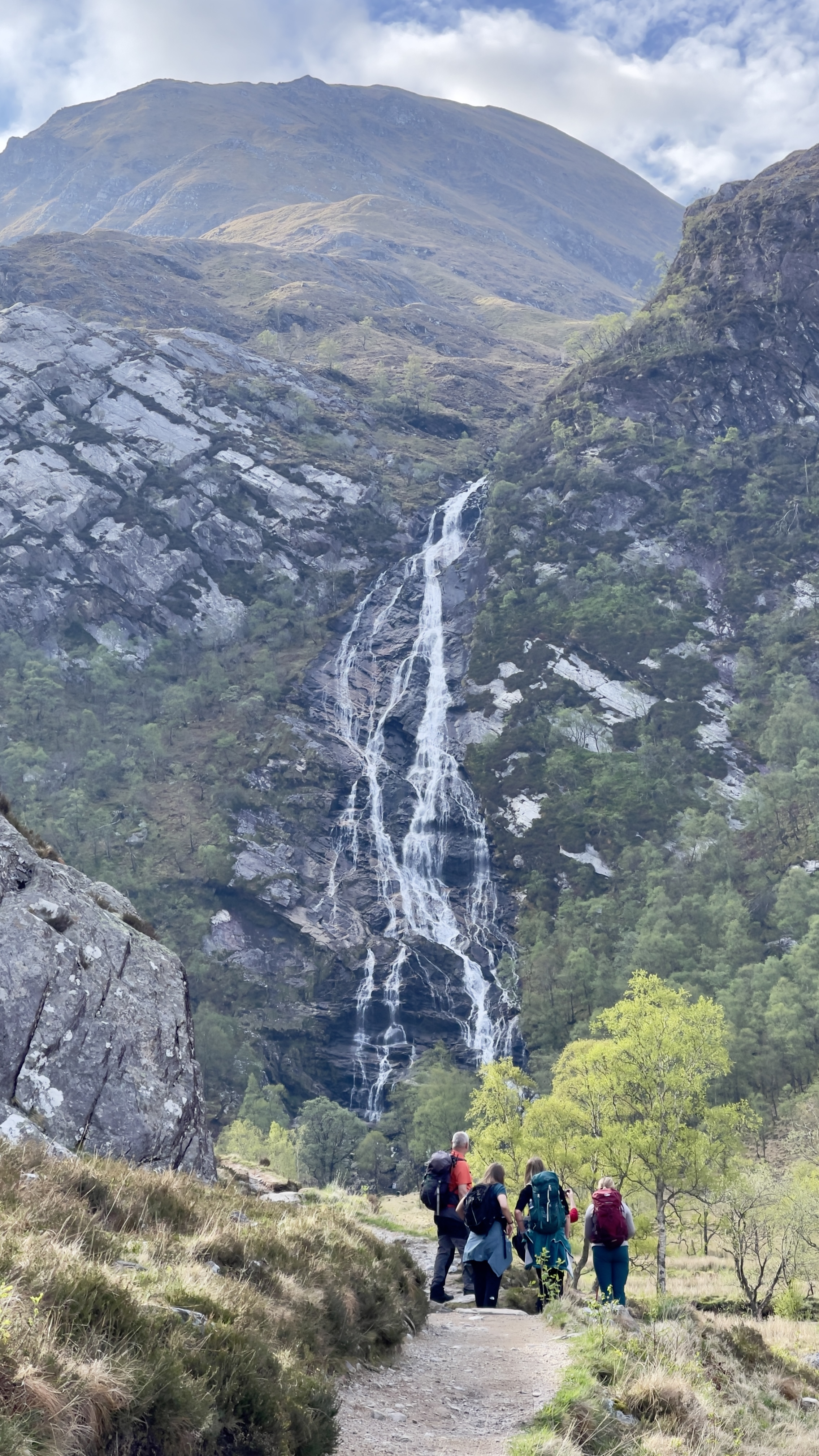
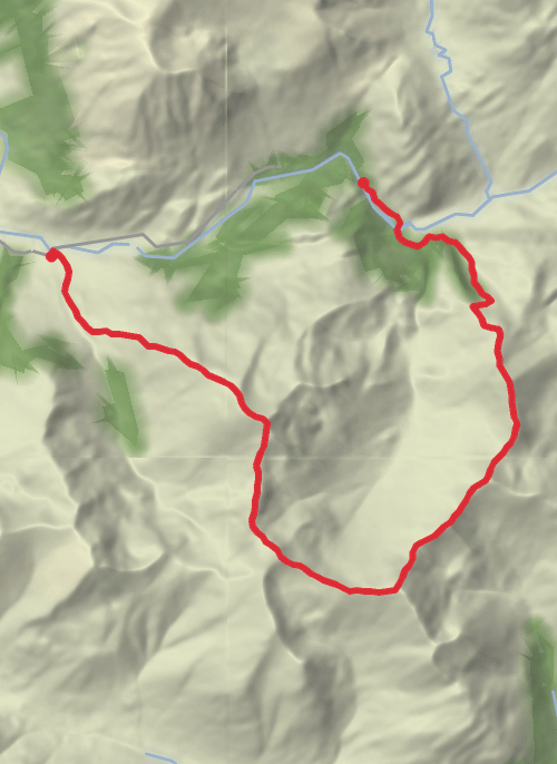
4 Munros | Upper Car Pk - Lower Car Pk Hike in to the rope bridge. Pass over & then along to and over the stream further up which can be difficult depending on flow. Long pull up to An Gearanach. Across to Stob Choire a Chàirn and descend to the saddle for one hell of a haul up to Am Bodach and then some wonderful ridge walking, along the Devils Ridge to Sgùrr a'Mhaim. Descend to the Lower Falls car park.
Comments and Reviews
User comments, reviews and discussions about this recording.
—
average rating out of 5
0 ratings