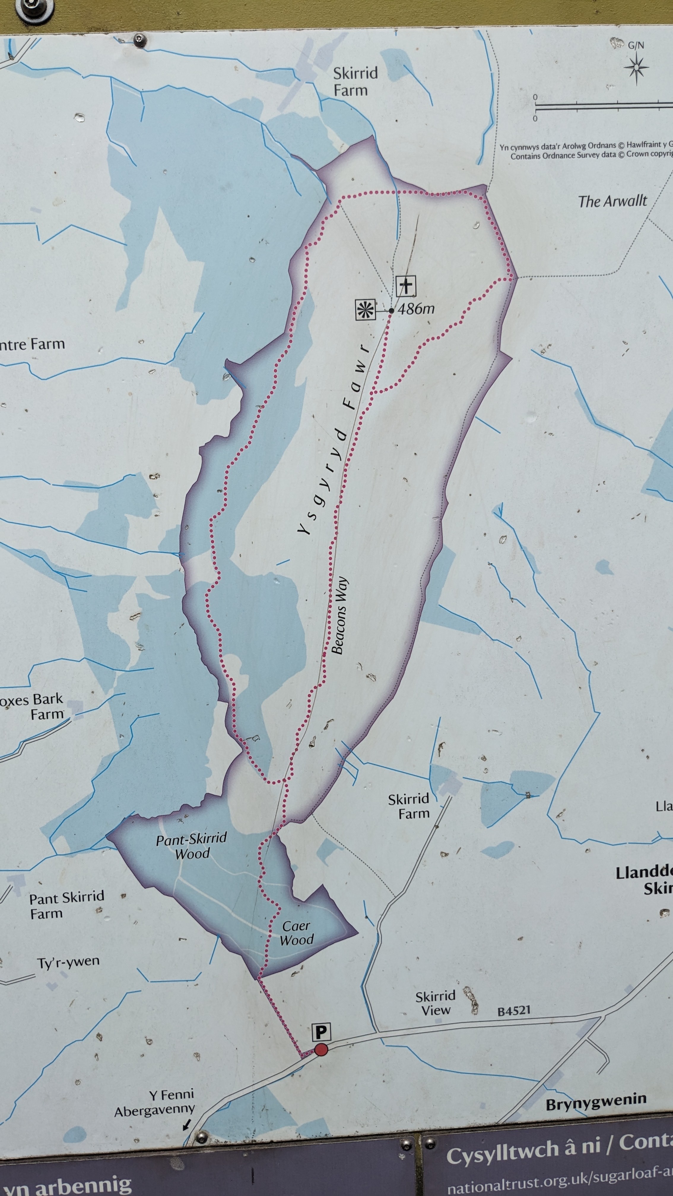
Skirrid Fawr mountain trek
Beacons Way, Llantilio Pertholey, Wales
July 27, 2026
Photos (8)Download
3D Flyover
More
Trail length
4.1 km
Time
~2h 17m 26s
Elevation Gain
191 m
Hike Type
Out and Back
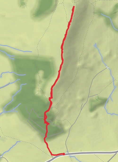
Straightforward track initially through forest with some steep areas and steps. Exposed on the mountain but easier towards the summit. On the right day you'll get incredible views across the Black mountains down to the Bristol channel.
Comments and Reviews
User comments, reviews and discussions about this recording.
—
average rating out of 5
0 ratings