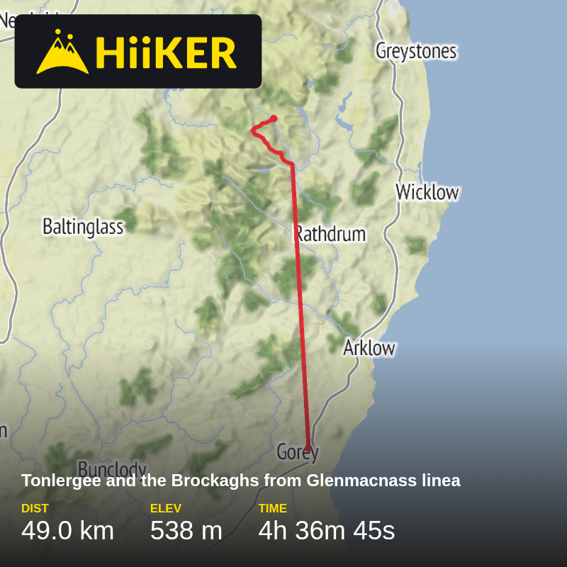
Tonlergee and the Brockaghs from Glenmacnass linea
Glenmacnass River Viewing Point, R115, Bray, County Wicklow, Ireland
September 06, 2026
Download
3D Flyover
More
Trail length
49.0 km
Time
~4h 36m 45s
Elevation Gain
538 m
Steep ascent to Tonlagee above Lough Ouler before leaving summit at 140 degrees for track to the Brockaghs .Down to join Wicklow Way into Laragh
Comments and Reviews
User comments, reviews and discussions about this recording.
—
average rating out of 5
0 ratings