Download
Preview
Add to list
More
21.6 km
~2 days
707 m
Multi-Day
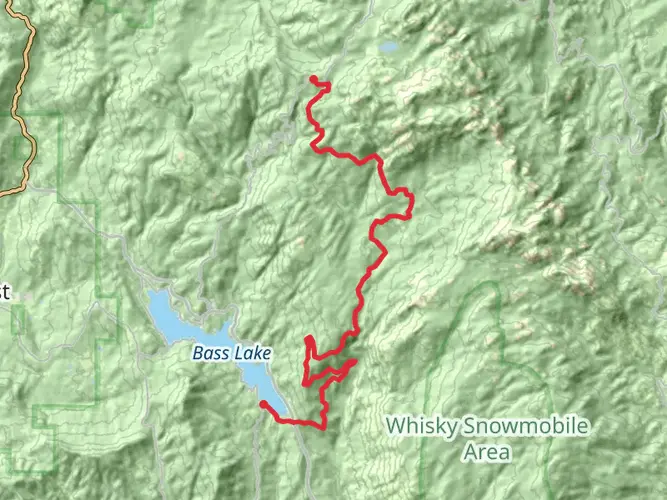
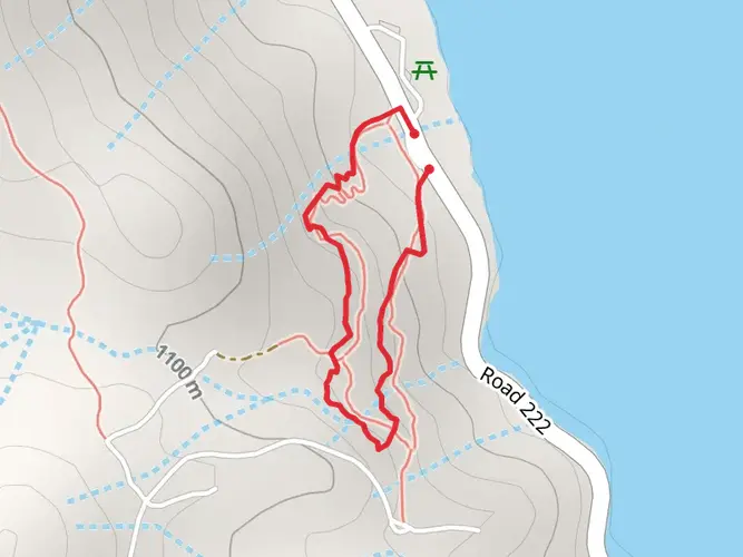
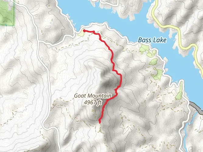
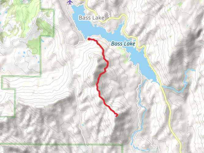
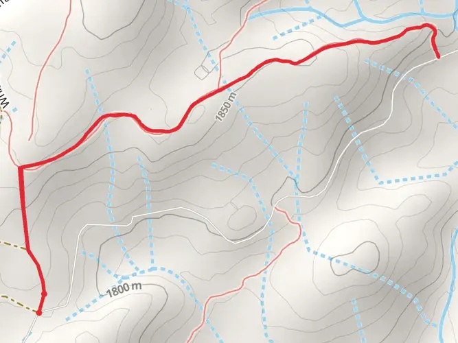
The Shuteye Peak and Lookout Trail is a 21.6 km trail that starts in Bass Lake, Madera County, California. Based on our data, the hike is graded as Difficult. For information on how we grade trails, please read measuring the difficulty of a hiking trail on hiiker. Also, check our latest community posts for trail updates. This hike can be completed in approx 5 hrs 30 mins. Caution is advised on trail times as this depends on multiple variables. For more info read about how we calculate hike time.
What to expect?
Activity types
Frequently asked questions
How long does the Shuteye Peak and Lookout Trail take to hike?
Shuteye Peak and Lookout Trail is 21.6 km long with 707 m of elevation gain, so it is a difficult route that is commonly done as an overnight or long full-day hike. HiiKER classifies it as a multi-day trail, which makes sense for parties that want time at the summit and lookout rather than rushing the climb.
How hard is the Shuteye Peak and Lookout Trail in Madera County?
Shuteye Peak and Lookout Trail is rated difficult. The route covers 21.6 km and climbs 707 m, which means a sustained effort at altitude in the Sierra National Forest rather than a short summit walk. Strong fitness and enough daylight are important, especially if the route is attempted in a single push.
What is at the top of the Shuteye Peak and Lookout Trail?
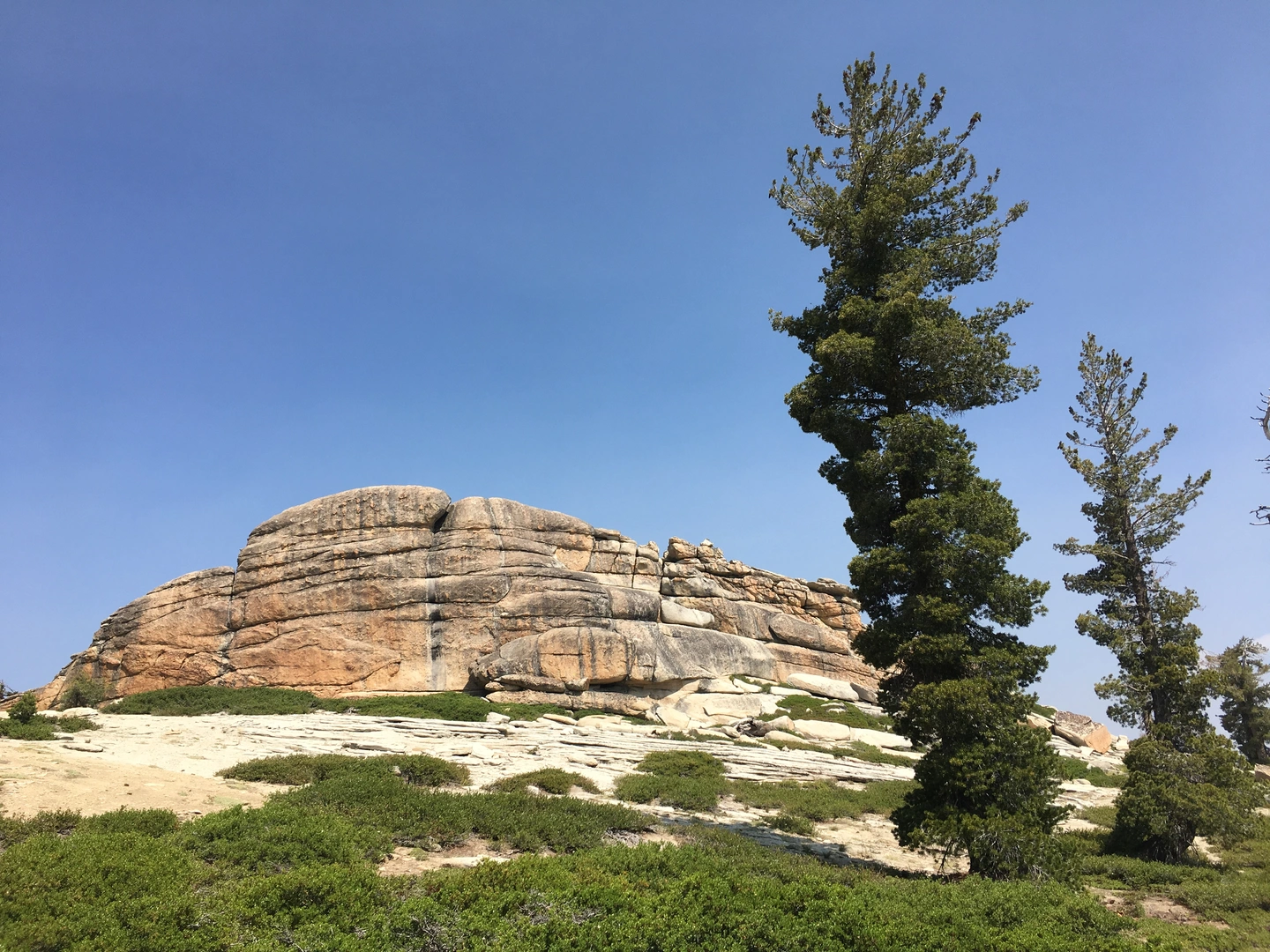
The route leads to Shuteye Peak and its historic fire lookout on Sierra National Forest land in eastern Madera County. The lookout sits at roughly 8,358 feet above sea level, and the summit is known for wide views over the San Joaquin Valley, Bass Lake, North Fork, and on clear days toward Mammoth Mountain.
Is the Shuteye Peak and Lookout Trail a backpacking trail or a day hike?
Shuteye Peak and Lookout Trail can be completed as a very long day hike, but it is categorized as a multi-day route. At 21.6 km with 707 m of climbing, it fits hikers who want a short backpacking trip or a slower overnight outing to spend more time around Shuteye Peak and the lookout.
When is the best time of year to hike the Shuteye Peak and Lookout Trail?
The most reliable season is usually summer into early fall, when high-country roads and the route to Shuteye Peak are more likely to be snow-free. Because the lookout is above 8,300 feet in the Sierra Nevada, lingering snow and rough access roads can affect spring travel, while fall often brings clearer summit views.
What views can you expect from the Shuteye Peak and Lookout Trail?
The main payoff is a summit panorama from Shuteye Peak and the lookout tower. Reported views include the San Joaquin Valley, Oakhurst and Ahwahnee areas, Bass Lake, North Fork, and distant Sierra landmarks including Mammoth Mountain when visibility is good.
Comments and Reviews
User comments, reviews and discussions about the Shuteye Peak and Lookout Trail, California.
4.0
average rating out of 5
1 rating(s)