Download
3D Flyover
Add to list
More
22.4 km
~2 days
3159 m
Multi-Day
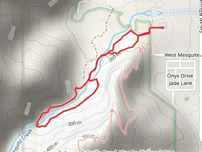
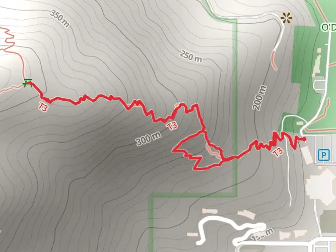
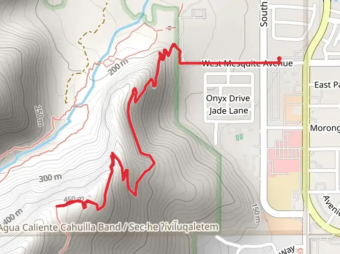
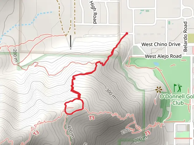
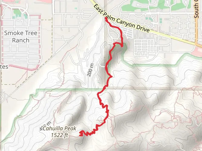
The Cactus to Clouds Trail is a 22.4 km trail that starts in Palm Springs, Riverside County, California. Based on our data, the hike is graded as Extra Difficult. For information on how we grade trails, please read measuring the difficulty of a hiking trail on hiiker. Also, check our latest community posts for trail updates. This hike can be completed in approx 2 days. Caution is advised on trail times as this depends on multiple variables. For more info read about how we calculate hike time.

What to expect?
Activity types
Frequently asked questions
How hard is the Cactus to Clouds Trail in Riverside County, California?
The Cactus to Clouds Trail is an Extra Difficult route with 22.4 km of hiking and about 3,159 m of elevation gain. It is widely known as one of Southern California’s biggest single-push climbs because it rises from Palm Springs desert terrain toward Mount San Jacinto’s high country.
How long does the Cactus to Clouds Trail usually take to complete?
Completion time varies a lot because the Cactus to Clouds Trail packs 22.4 km and 3,159 m of climbing into one route. Strong hikers often treat it as a very long full-day effort, while others split it over more than one day, which fits its multi-day classification.
Where do hikers start and finish the Cactus to Clouds Trail?
The Cactus to Clouds Trail typically starts in Palm Springs on the Skyline section and climbs toward Long Valley and Mount San Jacinto State Park. Many hikers finish by descending via the Palm Springs Aerial Tramway, whose Mountain Station sits at 8,516 feet above Palm Springs.
Do you need a permit for the Cactus to Clouds Trail?
A permit is required for hiking in Mount San Jacinto State Park and Wilderness, which covers the upper part of the Cactus to Clouds Trail. Hikers entering the wilderness from the tram side are directed to stop at Long Valley Ranger Station to fill out a free day-use permit, and backcountry camping also requires a permit.
Can you bring dogs on the Cactus to Clouds Trail?
Dogs are not a good fit for the standard Cactus to Clouds Trail route. Mount San Jacinto State Park does not allow dogs in the wilderness, and dogs are also not allowed on the Palm Springs Aerial Tramway except for service animals, so the upper mountain section and common descent logistics both restrict pets.
Where can you park for the Cactus to Clouds Trail?
Parking for Cactus to Clouds Trail logistics is commonly tied to the Palm Springs Aerial Tramway at 1 Tram Way in Palm Springs, especially for hikers planning to ride down after the climb. Tramway parking is paid, overnight parking is only permitted for State Park campers, and the lot opens at 9:00 a.m. on weekdays and 7:00 a.m. on weekends and holidays.
What is the elevation gain on the Cactus to Clouds Trail?
The Cactus to Clouds Trail gains about 3,159 m over 22.4 km, which explains why it is rated Extra Difficult. That amount of climbing is the defining challenge of the route and is far more demanding than a typical day hike in Riverside County.
Comments and Reviews
User comments, reviews and discussions about the Cactus to Clouds Trail, California.
4.5
average rating out of 5
4 rating(s)