Download
3D Flyover
Add to list
More
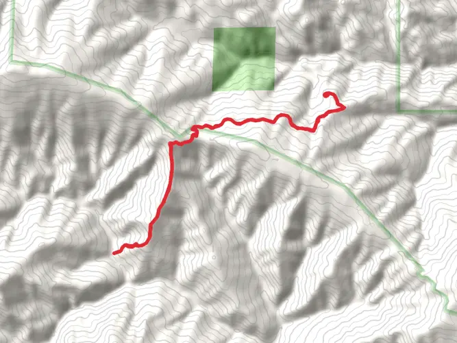
571.9 km
~24 days
14902 m
Multi-Day
“Trek the Bigfoot Trail for a challenging, scenic adventure through Northern California's wild heart.”
Embarking on the Bigfoot Trail offers a remarkable journey through the diverse ecosystems of Northern California, stretching approximately 572 kilometers (355 miles) with an elevation gain of around 14,900 meters (48,875 feet). This point-to-point trail begins near Tehama County, California, and is considered difficult due to its length, elevation changes, and remote nature.
Getting to the Trailhead
To reach the starting point of the Bigfoot Trail, hikers can drive to the trailhead located near the small community of Ides Cove in the Yolla Bolly-Middle Eel Wilderness. For those relying on public transportation, the closest major transit hubs are in Redding, California. From Redding, one can rent a car or arrange for a shuttle service to the trailhead, which is the most practical option given the trail's remote location.
Navigating the Trail
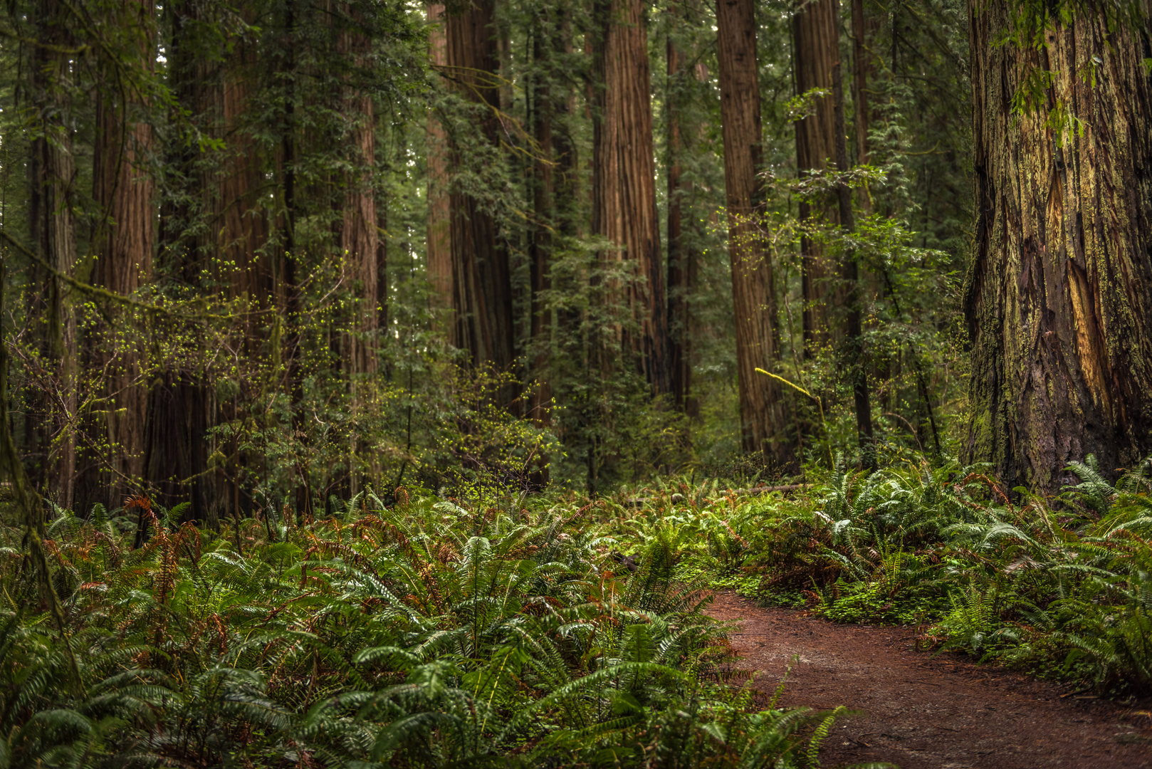
Hikers should prepare for a challenging adventure that will take them through the Klamath Mountains, one of the most biologically diverse temperate mountain ranges in the world. The use of a reliable navigation tool like HiiKER is essential for staying on track, as the trail can be rugged and sometimes poorly marked.
Landmarks and Natural Features
The Bigfoot Trail passes through six wilderness areas, two state parks, and a national park, offering a chance to experience the rich biodiversity of the region. Notable landmarks include the stunning Marble Mountain Wilderness, with its striking limestone formations, and the serene Russian Wilderness, known for its high concentration of conifer species.
As hikers progress, they'll encounter the Trinity Alps, where glacially carved granite peaks and alpine lakes create a breathtaking backdrop. The trail also winds through the Red Buttes Wilderness, showcasing vibrant wildflower displays and unique peridotite and serpentine rock formations.
Wildlife and Flora
The trail's name, Bigfoot Trail, is a nod to the legendary Sasquatch, and while spotting this mythical creature is unlikely, the area is teeming with wildlife. Hikers may see black bears, deer, and a variety of bird species. The diverse plant life along the trail includes towering Douglas firs, sugar pines, and the rare Brewer spruce.
Historical Significance
The region holds historical significance as well, with the trail crossing paths with old Native American routes and later, trails used by gold miners. The Klamath Mountains have been home to indigenous peoples for thousands of years, and their influence on the landscape is still evident today.
Preparation and Safety
Given the trail's difficulty and remote nature, hikers should be well-prepared with adequate supplies, including food, water purification methods, and bear canisters for food storage. Weather conditions can change rapidly, so layered clothing and rain gear are essential. It's also important to leave a detailed trip plan with someone before setting out.
Conclusion
The Bigfoot Trail is a demanding but rewarding experience for seasoned hikers seeking solitude and a deep connection with nature. With careful planning and respect for the environment, adventurers will find this trail to be a profound journey through one of California's most captivating landscapes.

What to expect?
Activity types
Frequently asked questions
How long is the Bigfoot Trail and how many days does the Bigfoot Trail usually take?
The Bigfoot Trail is about 571.91 km, or 355 miles, with roughly 14,902 m of total climbing. Most hikers treat it as a long thru-hike rather than a weekend route, and the combination of distance, repeated elevation change, and remote sections makes it an Extra Difficult multi-day trail.
Where does the Bigfoot Trail start and finish in California?
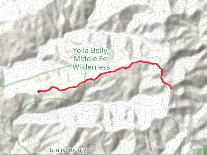
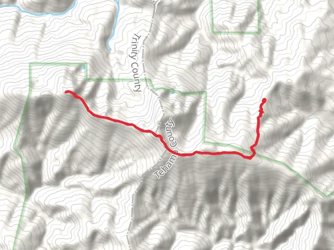
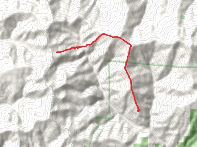
The Bigfoot Trail begins in the Yolla Bolly-Middle Eel Wilderness near Ides Cove and runs northwest to the Pacific Ocean near Crescent City in the Redwood National and State Parks region. Along the way it crosses the Klamath Mountains and links a long chain of protected public lands, including six wilderness areas and Redwood National Park.
Is the Bigfoot Trail harder than other long hikes in Northern California?
The Bigfoot Trail is generally considered a very demanding route because it covers about 355 miles and gains nearly 48,900 feet overall. Its Extra Difficult rating reflects not just the mileage, but also the rugged terrain, remote access, and long stretches through wilderness areas such as Yolla Bolly-Middle Eel, Marble Mountain, and the Red Buttes region.
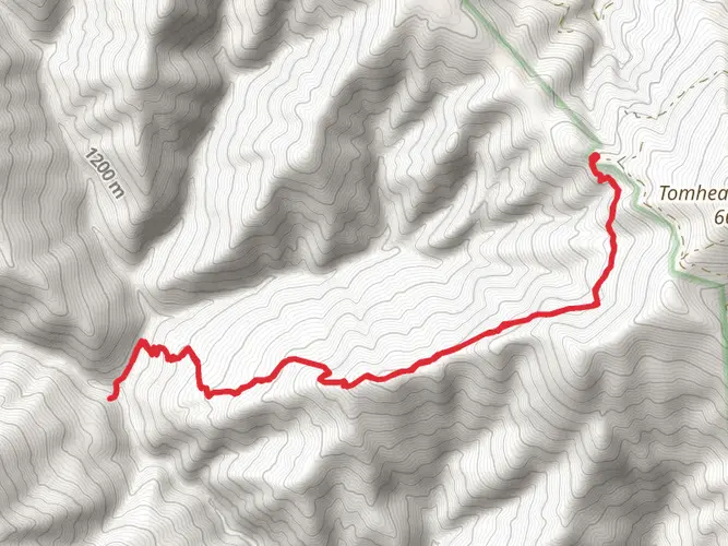
Where can hikers access the Bigfoot Trail near the southern end of the Bigfoot Trail?
A recognized southern access point is the Ides Cove area in the Yolla Bolly-Middle Eel Wilderness. The Ides Cove Loop trailhead is widely used for entry into that wilderness and is also used as the beginning of the Bigfoot Trail, with approach roads lying well west of Interstate 5 and requiring a substantial drive on forest roads.
Does the Bigfoot Trail connect with the Pacific Crest Trail?
Yes. The Bigfoot Trail briefly shares tread with the Pacific Crest Trail in the northern Marble Mountain Wilderness and again north of Seiad Valley near the edge of the Red Buttes Wilderness. That overlap is one of the route's best-known navigation and logistics features in the Klamath Mountains.
What landscapes and protected areas does the Bigfoot Trail pass through?
The route is known for crossing an unusually varied slice of northwestern California, from the Yolla Bolly-Middle Eel Wilderness to the redwood coast near Crescent City. It passes through six wilderness areas and reaches Redwood National Park, with major sections in places such as Marble Mountain Wilderness and the broader Redwood National and State Parks landscape.
What is the best time of year to hike the Bigfoot Trail?
The usual hiking window is summer into early fall, when high-country snow has mostly melted and access roads are more reliable in the Klamath Mountains. Early season travel can be complicated by lingering snow, while spring runoff can make creek crossings more serious on a route this long and remote.
Comments and Reviews
User comments, reviews and discussions about the Bigfoot Trail, California.
4.5
average rating out of 5
8 rating(s)