Download
3D Flyover
Add to list
More
9.0 km
~2 hrs 25 min
370 m
Out and Back
“Embark on a scenic, history-rich hike along the Forks of the Kern Trail, embracing nature's rugged splendor.”
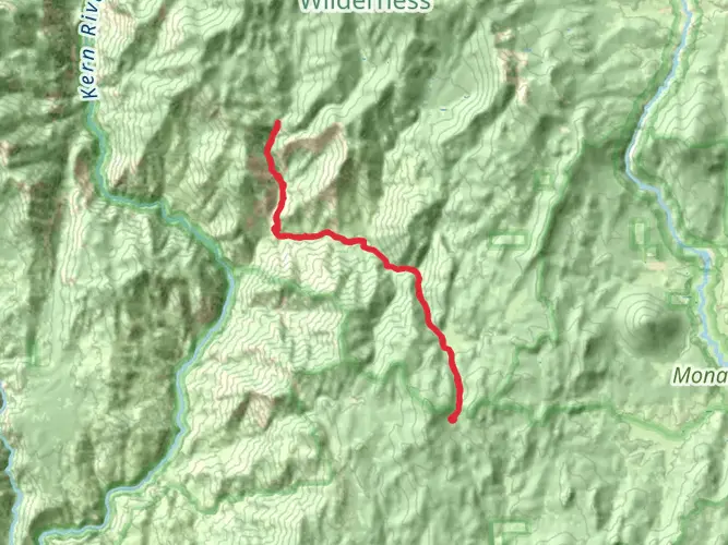
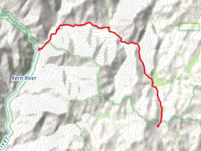
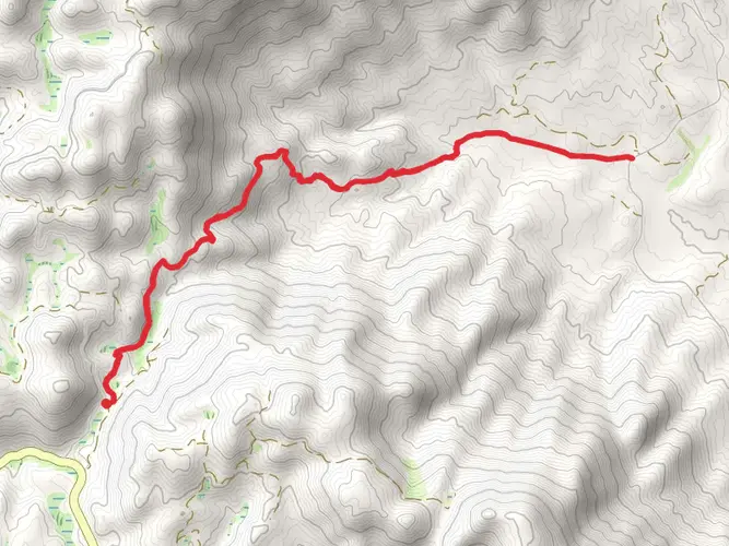
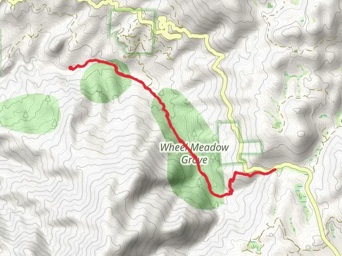
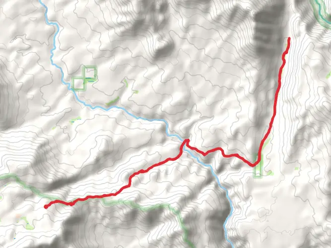
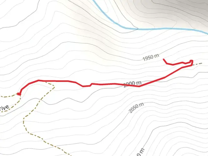
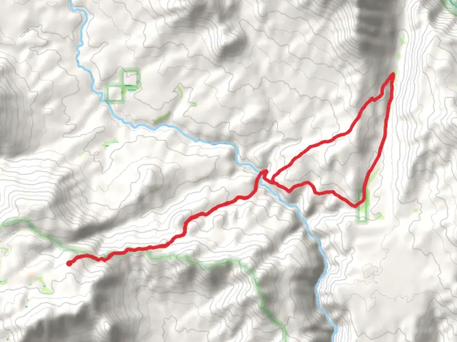
Nestled in the southern Sierra Nevada mountains near Tulare County, California, the Forks of the Kern Trail offers hikers a scenic journey through the rugged landscape, characterized by its proximity to the Kern River, a popular spot for whitewater rafting. The trail spans approximately 9 kilometers (about 5.6 miles) with an elevation gain of around 300 meters (roughly 980 feet), making it a moderately challenging hike that can be completed as an out-and-back day trip.
Getting to the Trailhead To reach the trailhead, hikers can drive to the end of Lloyd Meadow Road, which is the nearest known address to the starting point of the Forks of the Kern Trail. The road is accessible by car, and there is a parking area where hikers can leave their vehicles before embarking on the trail. Public transportation options are limited in this remote area, so driving is the most feasible way to reach the trailhead.
Navigating the Trail Once on the trail, hikers will find themselves winding through a dense forest of pine and cedar trees, with the path occasionally opening up to reveal stunning views of the surrounding mountains and the Kern River below. The trail is well-marked, but it's always wise to carry a reliable navigation tool like HiiKER to ensure you stay on the correct path.
Landmarks and Natural Features As you progress along the trail, you'll encounter a series of switchbacks that gradually lead you down to the river's edge. The Kern River is a highlight of this hike, with its clear, rushing waters and the opportunity to spot local wildlife, such as mule deer, black bears, and a variety of bird species. Be sure to keep a safe distance from wildlife and practice bear safety measures.
The Forks of the Kern Trail also passes through areas that showcase the region's geological history, with exposed rock formations that tell the story of the Sierra Nevada's tumultuous past. The trail itself is steeped in history, having been used by Native American tribes, early settlers, and prospectors during the California Gold Rush.
Preparation and Safety Before setting out, hikers should be prepared with adequate water, sun protection, and sturdy footwear to navigate the rocky and sometimes steep terrain. The trail can be hot and dry, especially in the summer months, so it's important to stay hydrated and be mindful of the signs of heat exhaustion.
In terms of safety, the Kern River can be swift and dangerous, particularly in the spring when snowmelt increases water levels. Hikers should exercise caution near the water and be aware of the potential for flash flooding during periods of heavy rain.
Conclusion The Forks of the Kern Trail is a rewarding hike that offers a mix of challenging terrain, breathtaking natural beauty, and a glimpse into the historical significance of the Sierra Nevada region. Whether you're a seasoned hiker or someone looking to explore the great outdoors, this trail provides an opportunity to immerse yourself in the wilderness and experience the rugged charm of the Kern River Valley.

What to expect?
Activity types
Comments and Reviews
User comments, reviews and discussions about the Forks of the Kern Trail, California.
4.4
average rating out of 5
5 rating(s)