Download
3D Flyover
Add to list
More
36.0 km
3 days
1851 m
Multi Day
“Traverse the wild heart of the Rockies on a breathtaking, challenging 22-mile loop through diverse landscapes and historic terrain.”
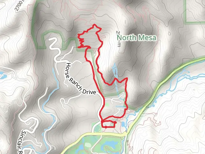
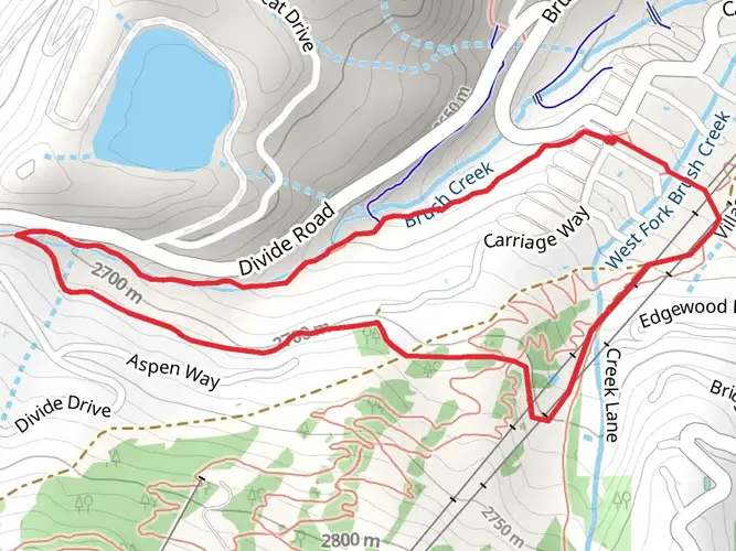
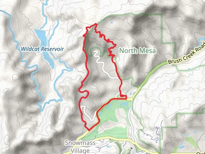
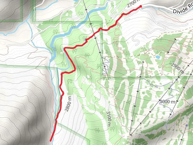
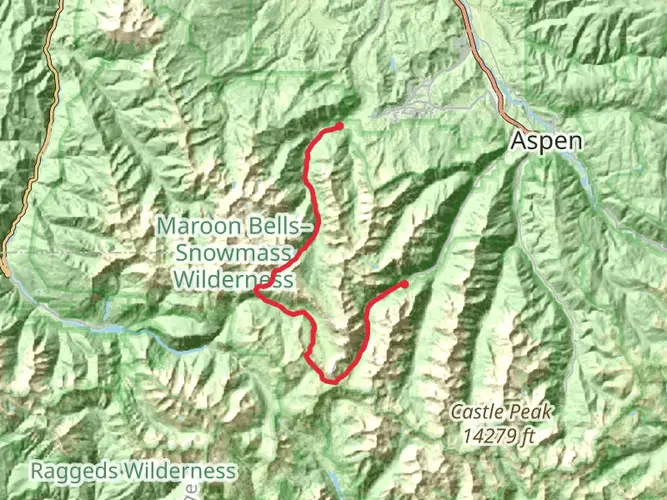
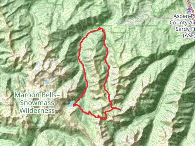
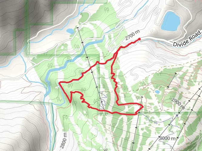
Embarking on the Snowmass to East Snowmass Creek Loop is a journey through the heart of the Colorado Rockies, offering hikers a challenging yet rewarding experience. This approximately 36-kilometer (22-mile) trek begins near Pitkin County, Colorado, and takes you through a diverse landscape with an elevation gain of around 1,800 meters (5,900 feet). The trail is rated as difficult, so it's essential to be well-prepared before setting out.
Getting to the Trailhead
To reach the starting point of the trail, you can drive to the vicinity of Snowmass Village. If you're using public transportation, you can take a bus from Aspen to Snowmass Village and then arrange for a taxi or a shuttle to the trailhead. Parking is available near the trailhead for those who choose to drive.
Navigating the Trail
The loop can be tackled in either direction, but many hikers prefer to start at the Snowmass Creek trailhead and proceed clockwise. This allows for a more gradual ascent on the initial leg of the journey. Hikers should download the HiiKER app for detailed maps and navigation assistance, as the trail can be challenging to follow in places.
Landmarks and Scenery
As you ascend through aspen groves and coniferous forests, you'll be treated to stunning views of the surrounding peaks, including Snowmass Mountain, Capitol Peak, and the Maroon Bells. The trail crosses several streams, so be prepared for water crossings and bring appropriate footwear.
After approximately 9 kilometers (5.6 miles), you'll reach Snowmass Lake, a perfect spot for a rest or an overnight camp. The lake's serene waters reflect the towering peaks and offer a peaceful respite.
Continuing on, the trail becomes steeper and more rugged as you approach Trail Rider Pass. This section includes a series of switchbacks with an elevation gain that will test your endurance.
Wildlife and Flora
The area is rich in wildlife, and it's not uncommon to spot mule deer, elk, and even black bears, so be sure to practice safe wildlife habits and store your food properly. The trail also winds through wildflower meadows, especially vibrant in the late spring and early summer.
Historical Significance
The region is steeped in history, with the Elk Mountains having been a part of the Ute Indian territory before the arrival of European settlers. Mining and ranching were prominent in the late 19th and early 20th centuries, and while hiking, you may come across remnants from that era.
Preparation and Safety
Given the trail's difficulty and remote nature, it's crucial to be well-prepared. Bring plenty of water, high-energy food, and layers to adapt to the changing weather conditions. A first-aid kit, map, compass, and GPS device are essential. Always check the weather forecast before heading out, as mountain weather can be unpredictable.
Remember, this is a high-altitude hike, so acclimatize appropriately to avoid altitude sickness. It's also wise to inform someone of your hiking plans and expected return time.
Conclusion
The Snowmass to East Snowmass Creek Loop is a challenging hike that offers a deep connection with the rugged beauty of the Colorado Rockies. With proper preparation and respect for the natural environment, hikers will find this trail to be an unforgettable adventure.
AI Planner
Days planned around your pace, with somewhere to stay each night.

What to expect?
Activity types
Comments and Reviews
User comments, reviews and discussions about the Snowmass to East Snowmass Creek Loop, Colorado.
4.57
average rating out of 5
7 rating(s)