Download
3D Flyover
Add to list
More
40.9 km
~2 days
621 m
Multi-Day
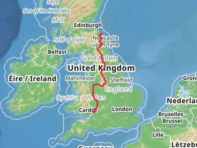
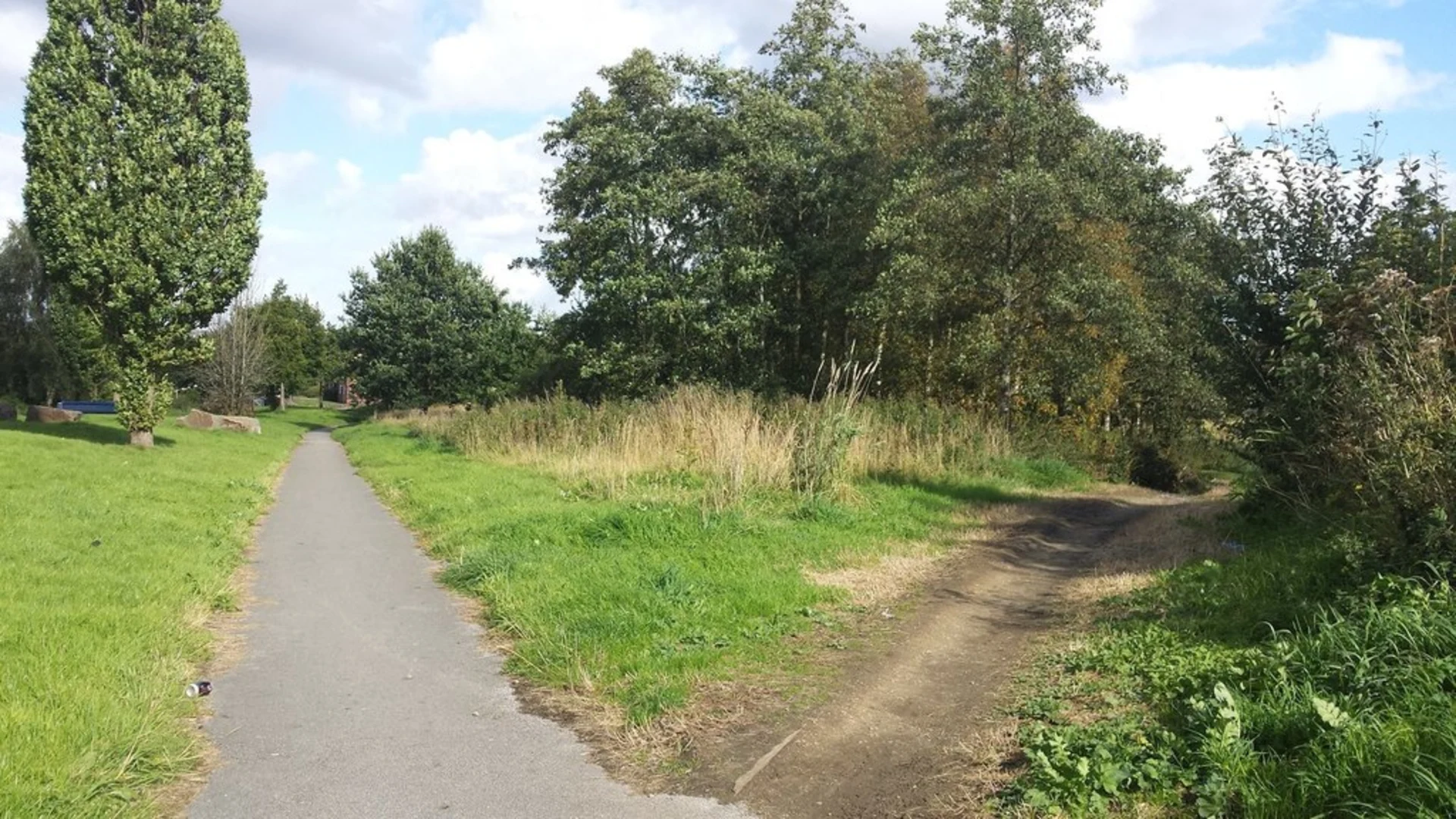
The Newcastle Way - Staffordshire is a 40.9 km trail that starts in , Cheshire East, England. Based on our data, the hike is graded as Easy. For information on how we grade trails, please read measuring the difficulty of a hiking trail on hiiker. Also, check our latest community posts for trail updates. This hike can be completed in approx 2 days. Caution is advised on trail times as this depends on multiple variables. For more info read about how we calculate hike time.

What to expect?
Activity types
Frequently asked questions
How long does it take to hike Newcastle Way - Staffordshire?
Newcastle Way - Staffordshire is 40.87 km long with 621 m of climbing, so most hikers treat it as a 2-day walk or a long single-day challenge. The official route is also divided into seven sections, many described as roughly half-day walks that can take at least three hours each with stops for views and navigation.
Where does Newcastle Way - Staffordshire start and finish?
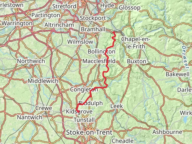
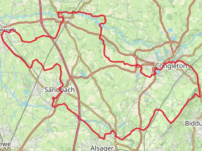
Newcastle Way - Staffordshire starts at Mow Cop, where it links with the Staffordshire Way near Mow Cop Castle, and it finishes at the Shropshire Union Canal on the edge of Market Drayton. The route crosses the Borough of Newcastle-under-Lyme from the gritstone around Mow Cop to the canal and wharf area near Berrisford Road.
Is Newcastle Way - Staffordshire an easy walk or is there much climbing?
Newcastle Way - Staffordshire is generally rated easy, but it is not flat. Over 40.87 km it gains 621 m, with rolling ups and downs through moorland, woodland, farmland, and sandstone ridge country, including higher ground around Mow Cop, Black Bank, Maer, and Ashley.
Can Newcastle Way - Staffordshire be walked in sections using public transport?
Yes. The route was organized in stages so walkers can use buses at the start and finish of sections. Staffordshire County Council lists services from Newcastle bus station including the 34 and 34A for Kidsgrove and Mow Cop, the 85 and 85A for Madeley, and the 64 for Market Drayton, with hourly buses noted at Loggerheads.
What are the main landmarks and viewpoints on Newcastle Way - Staffordshire?
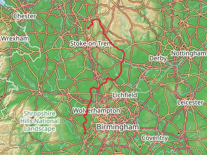
Newcastle Way - Staffordshire passes a mix of industrial heritage and open-country viewpoints, including Mow Cop Castle, Birchenwood Country Park, Apedale Country Park, Black Bank, Ashley Dale, Blore Heath, and the Shropshire Union Canal. Views extend into Cheshire, toward the Shropshire Hills, and on clear days as far south as Cannock Chase.
Is Newcastle Way - Staffordshire dog friendly?
Newcastle Way - Staffordshire follows public rights of way, so dogs are generally allowed, but the route includes stiles, farmland, and sections with livestock. Staffordshire County Council advises keeping dogs under effective control on rights of way, and some stretches such as meadows, farm lanes, and brook crossings are likely to be less convenient for larger dogs.
Are there parking spots or access points for Newcastle Way - Staffordshire?
There are several practical access points along Newcastle Way - Staffordshire rather than just at the ends. The official route notes parking at Mow Cop Castle at the start, Black Bank car park in the middle stages, and a village car park at Loggerheads, which makes section walking much easier than tackling the full 40.87 km in one go.
Comments and Reviews
User comments, reviews and discussions about the Newcastle Way - Staffordshire, England.
4.0
average rating out of 5
1 rating(s)