Download
3D Flyover
Add to list
More
153.4 km
7 days
1662 m
Multi Day
“Embark on the Staffordshire Way for a scenic trek through English history and diverse countryside splendor.”
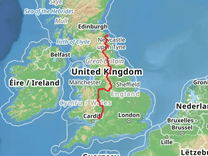
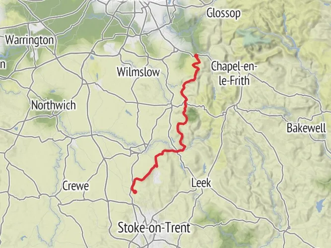
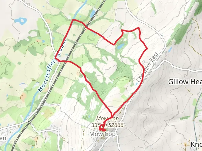
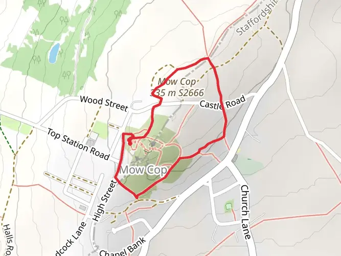
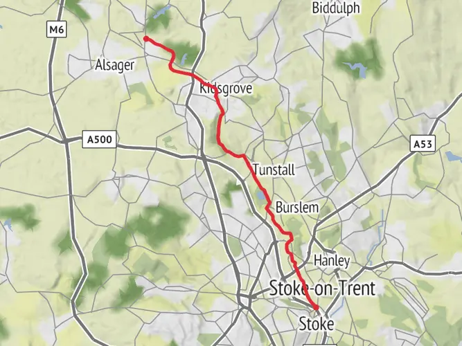
Spanning approximately 154 kilometers (96 miles) with an elevation gain of around 1400 meters (4593 feet), the Staffordshire Way offers hikers a medium-difficulty trek through the heart of the English countryside. This point-to-point trail begins near Mow Cop, close to Cheshire East, and winds its way south to Kinver Edge, near the Worcestershire border.
Getting to the Trailhead
To reach the starting point near Mow Cop, hikers can use public transport by catching a train to Kidsgrove station, which is the nearest railway station. From there, a short taxi ride or a bus can take you to the trailhead. For those driving, parking is available in the area, and the start of the trail is accessible via Congleton Road, which is the closest significant landmark to the trailhead.
Navigating the Trail
The Staffordshire Way is well-marked, but carrying a reliable navigation tool like HiiKER is recommended to keep track of your progress and ensure you stay on the correct path. The trail meanders through varied landscapes, including farmland, woodland, and moorland, offering a diverse hiking experience.
Landmarks and Scenery
As you embark on your journey, you'll encounter the rugged beauty of the Peak District's moorlands and the tranquil charm of the Staffordshire countryside. The trail passes through the historic market towns of Leek and Uttoxeter, where hikers can explore local shops and enjoy traditional English hospitality.
One of the highlights along the route is Cannock Chase, an Area of Outstanding Natural Beauty. This section of the trail offers a chance to see a variety of wildlife, including deer and an array of bird species. The heathland and forested areas here are particularly picturesque.
Historical Significance
The Staffordshire Way takes hikers through regions steeped in history. Along the route, you'll find remnants of England's industrial past, including the Caldon Canal, which was once vital for transporting goods during the Industrial Revolution. Additionally, the trail passes close to Shugborough Hall, an 18th-century estate with expansive gardens and historical significance.
Preparation and Planning
Given the length of the trail, hikers should plan for multiple days of walking and consider overnight accommodations in the towns along the route. The elevation gain is gradual, but be prepared for some steeper sections, particularly in the northern part of the trail. Weather can be variable, so pack appropriate clothing and check forecasts in advance.
Wildlife and Nature
The Staffordshire Way offers a chance to immerse yourself in the natural beauty of the English countryside. Expect to walk through fields dotted with sheep, quiet woodlands, and open moorlands. The trail is also a haven for birdwatchers, with opportunities to spot species such as the Eurasian nuthatch and the great spotted woodpecker.
Conclusion
By following these guidelines and preparing accordingly, hikers can look forward to a rewarding journey along the Staffordshire Way, experiencing the best of England's natural landscapes and historical heritage.
AI Planner
Days planned around your pace, with somewhere to stay each night.

Surfaces
Unknown
Gravel
Dirt
Asphalt
Paved
Unpaved
Grass
Ground
Concrete
Wood
Cobblestone
Comments and Reviews
User comments, reviews and discussions about the Staffordshire Way, England.
4.3
average rating out of 5
10 rating(s)