Download
Preview
Add to list
More
35.8 km
~2 days
78 m
Multi-Day
“The South Tyne Trail offers a historic, scenic hike along a river through England's serene landscapes.”
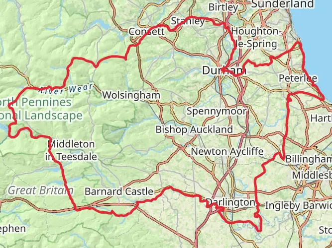
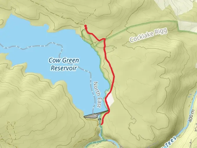
The South Tyne Trail unfolds through the picturesque landscapes of Northumberland, offering hikers a serene journey along the South Tyne River. Spanning approximately 36 kilometers (about 22 miles), this point-to-point trail boasts minimal elevation gain, making it accessible to walkers of varying abilities, though it is rated medium due to its length and some rugged terrain.
Getting to the Trailhead
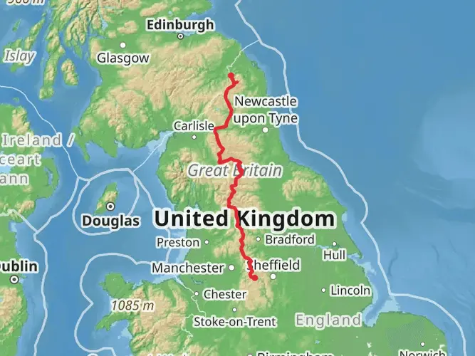
The trailhead is conveniently located near County Durham, England. For those arriving by car, the starting point is accessible via the A689, with parking available in the vicinity. Public transport users can catch a train to Haltwhistle railway station, which is a short distance from the trail's commencement. From there, local bus services or a taxi can bridge the gap to the trailhead.
Navigating the Trail
As you embark on the South Tyne Trail, you'll find that the path is well-defined, following the disused Haltwhistle to Alston railway. To ensure you stay on track, the HiiKER app can be a valuable navigation tool, providing detailed maps and waypoints that can enhance your hiking experience.
Historical Significance and Landmarks
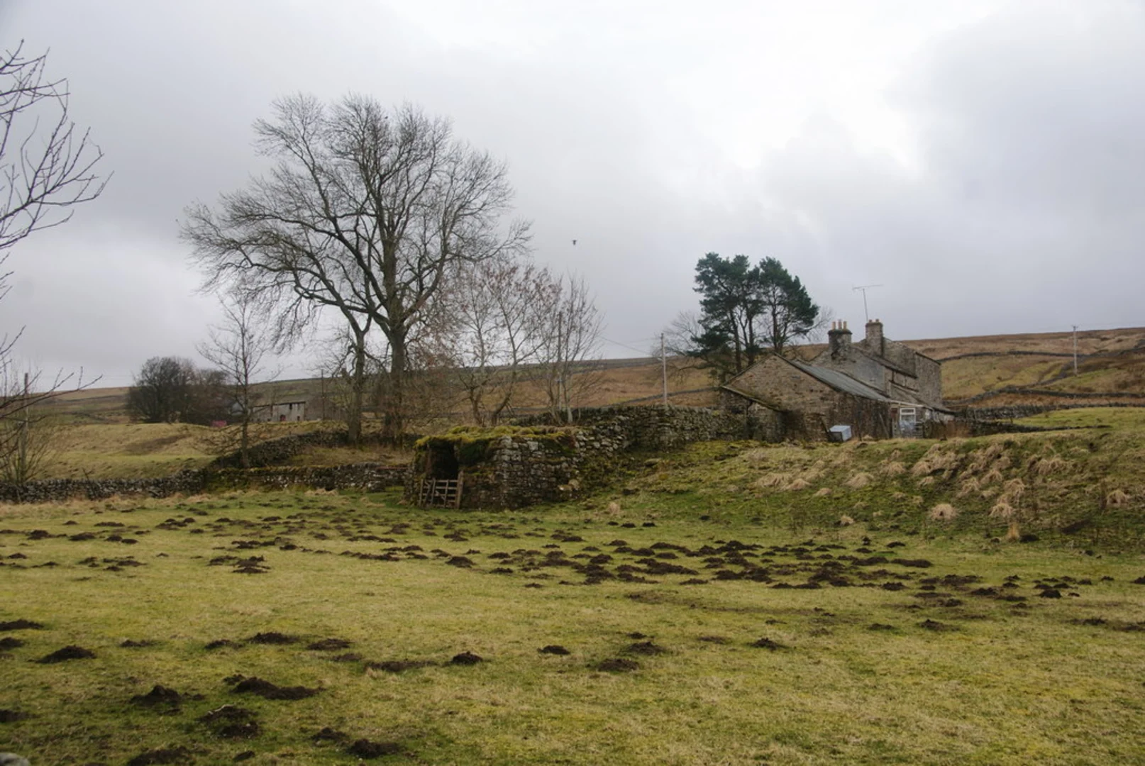
The region is steeped in history, with the trail itself tracing a route that once buzzed with the activity of the railway. Hikers can observe remnants of this industrial past, including old station platforms and railway bridges that have been repurposed for the trail. The trail also passes through the North Pennines Area of Outstanding Natural Beauty, a testament to the region's rich mining heritage.
Flora and Fauna
Nature enthusiasts will appreciate the diverse wildlife and plant life along the trail. The river and surrounding woodlands are home to a variety of birds, including kingfishers and dippers, while the open fields may offer sightings of deer and rabbits. The changing seasons bring different wildflowers and foliage, adding to the trail's charm.
Amenities and Points of Interest
The South Tyne Trail is interspersed with quaint villages and towns, providing opportunities to restock supplies or enjoy local hospitality. Notable points of interest include the Lambley Viaduct, an impressive structure that offers panoramic views of the river valley. Additionally, the market town of Alston, near the trail's end, is a perfect spot to explore local crafts and cuisine.
Preparing for the Hike
Given the trail's length, it's advisable to pack sufficient water and snacks. Weather in the region can be unpredictable, so layered clothing and waterproof gear are recommended. While the trail is mostly flat, sturdy walking shoes are essential for comfort and safety on the mixed terrain.
Conclusion
The South Tyne Trail is a journey through history, nature, and the tranquil beauty of the English countryside. With careful planning and an adventurous spirit, hikers can immerse themselves in the peaceful rhythm of this scenic path.

Frequently asked questions
How long does it take to walk the South Tyne Trail from Haltwhistle to Alston?
The South Tyne Trail is 35.78 km, or about 22 miles, so most walkers treat it as a full-day outing or split it over two easier days. The route is point to point and follows the former Haltwhistle to Alston railway, which keeps gradients gentle for much of the way despite the overall distance.
Where do you start and finish the South Tyne Trail?
The South Tyne Trail is usually walked between Haltwhistle and Alston, following the South Tyne valley on the old railway line. Haltwhistle has a railway station on the Tyne Valley Line, and Alston is the market-town end of the route, making those two places the natural trail endpoints.
Is the South Tyne Trail easy or suitable for beginners?
The South Tyne Trail is generally considered an easy route because it has only about 78 m of elevation gain over 35.78 km. The main challenge is not steep climbing but the length, so it suits beginners with enough stamina for a long linear walk or a relaxed two-day trip.
Can you get to the South Tyne Trail by public transport?
Yes. Haltwhistle railway station is the simplest public-transport access point for the South Tyne Trail, and it sits on the Tyne Valley Line between Newcastle and Carlisle. At the southern end, Alston is served by the South Tynedale Railway heritage line rather than the national rail network, so many walkers use Haltwhistle as the easier rail-connected start.
What is there to see on the South Tyne Trail besides the river?
One of the standout landmarks on the South Tyne Trail is Lambley Viaduct, the restored railway viaduct that carried the old line high over the River South Tyne. The route also passes former station sites and railway structures from the old Haltwhistle to Alston branch, so it has a strong industrial-heritage feel as well as open valley scenery.
Is the South Tyne Trail good for a two-day walk?
Yes. At 35.78 km with very little climbing, the South Tyne Trail works well as a gentle two-day walk rather than a rushed single-day effort. Splitting the route also gives more time to enjoy places such as Lambley Viaduct and the old railway features along the South Tyne valley.
Is the South Tyne Trail a circular walk or a point-to-point route?
The South Tyne Trail is a point-to-point route, not a circular walk. It follows the line of the former railway between the Haltwhistle area and Alston, so transport planning matters more than on a loop, especially if only one car is available.
Comments and Reviews
User comments, reviews and discussions about the South Tyne Trail, England.
4.0
average rating out of 5
2 rating(s)