Download
3D Flyover
Add to list
More
6.2 km
~1 hrs 35 min
208 m
Out and Back
“A punchy fellside wander leads to Whorneyside Force, where hidden crags and thunderous water steal the scene.”
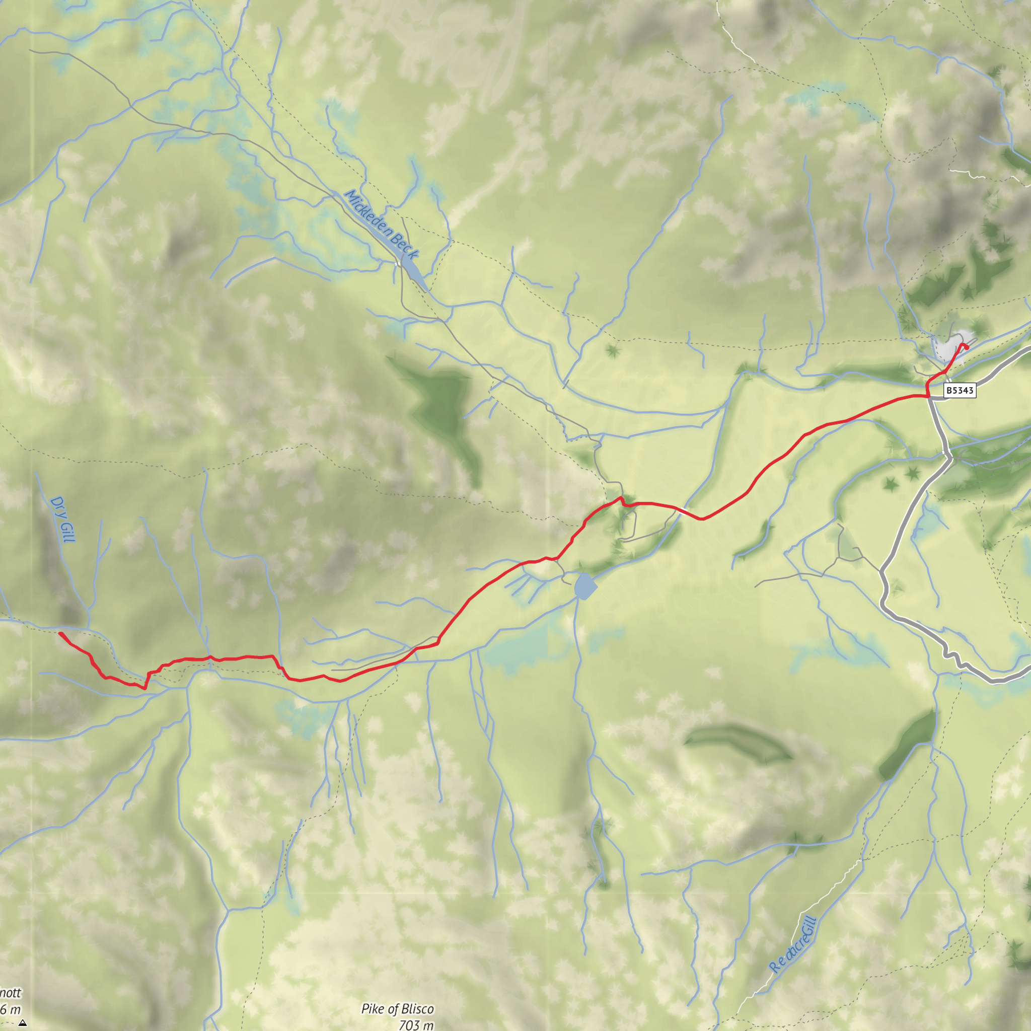
This medium-difficulty walk to Whorneyside Force is a compact Lake District outing of about 6 km / 3.7 miles with roughly 200 m / 656 ft of ascent, giving it enough climb to feel like a proper fellside walk without becoming a full mountain day. The route is generally approached from the upper Borrowdale valley, most commonly from the Old Dungeon Ghyll area in Great Langdale for the shorter out-and-back version, though Whorneyside Force itself sits on the flank of Whorneyside Fell above the valley and is often described as a quieter, less-visited waterfall objective than the better-known falls elsewhere in the Lakes. Sources describing the walk broadly agree on a return distance of around 6 km and ascent close to 180–200 m. (walkmyworld.com)
The nearest practical start point for the commonly used route is Old Dungeon Ghyll Hotel / Old Dungeon Ghyll car park, Great Langdale, Ambleside LA22 9JY, which is the nearest well-known address or landmark associated with the usual trailhead for this walk. If you are planning with HiiKER, that is the landmark to anchor your route check against rather than relying on the incomplete hike-head information provided here. Because valley paths can split around walls, beck crossings, and informal trods, it is worth confirming the exact line before setting off. (travelhackergirl.com)
Getting there by car is straightforward if you are already in the central Lakes: drive into Great Langdale and continue to the Old Dungeon Ghyll area, where parking is commonly used for valley and fell walks. If you are instead staying around Keswick and Borrowdale, be aware that some online references to Whorneyside Force also connect it with Borrowdale landmarks such as Rosthwaite, Stonethwaite, and the Bowder Stone area, which can cause confusion because those are in a different valley system from the usual 6 km route description. For Borrowdale access generally, the National Trust’s Bowder Stone car park is on the B5289 about 5 miles / 8 km from Keswick, between Grange and Rosthwaite, but that is better treated as a Borrowdale landmark than as the default start for this specific 6 km walk. (nationaltrust.org.uk)
Public transport requires more planning. Borrowdale is served from Keswick by Stagecoach’s 78 Borrowdale Bus, with stops including Rosthwaite and the Stonethwaite road end, and current timetable data shows regular service through the day as of September 8, 2026. That is useful if you are combining this outing with a wider Lake District stay, but it does not place you directly at the usual Great Langdale trailhead, so check onward connections carefully before committing to a car-free plan. Keswick visitor information also notes the 78 as the main bus for Borrowdale access. (bustimes.org)
What the walk feels like
Expect a route that begins gently on valley terrain before steepening as you work toward the waterfall. On a 6 km / 3.7 mile return walk with 200 m / 656 ft of ascent, the climbing is concentrated enough that it can feel punchier than the numbers suggest, especially after rain when stone, mud, and grass become slick. The path is usually most comfortable for regular walkers with decent footwear, but it is not one to underestimate in poor weather. Short steep sections, wet rock near the falls, and the temptation to leave the main line for better views are the main reasons it sits comfortably in the medium bracket. (walkmyworld.com)
The waterfall itself is the obvious highlight: a dramatic cascade dropping through a rocky cleft, with the surrounding crags and steep fellside giving the place a more hidden, enclosed character than many roadside falls. After rain, the volume and noise increase significantly, and the whole setting becomes more atmospheric, but also more hazardous. In drier spells, the rock architecture and plunge-pool setting become easier to appreciate, and the route often feels more relaxed for photography and lingering. (walkmyworld.com)
Terrain, hazards, and preparation
Underfoot, expect a mix of valley path, stony sections, uneven fell path, and potentially boggy or muddy patches. Waterproof boots or shoes with reliable grip are a better choice than lightweight road-style trainers. Trekking poles can help on the descent if the ground is greasy. Because the route is relatively short, some walkers under-pack, but this is still
Surfaces
Unknown
Asphalt
Unpaved
Gravel
Comments and Reviews
User comments, reviews and discussions about the Whorneyside Force, England.
average rating out of 5
0 rating(s)
