Download
Preview
Add to list
More
46.3 km
~2 days
179 m
Multi-Day
“"Explore the scenic and historic Royal Military Canal Path, a journey through nature's tranquility and England's past."”
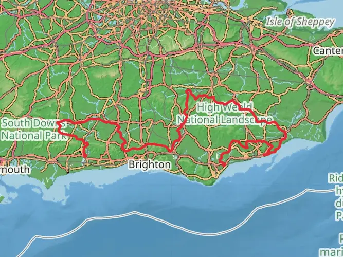
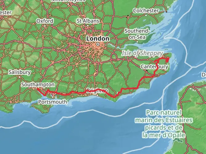
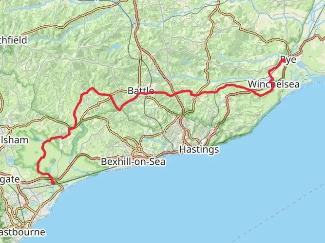
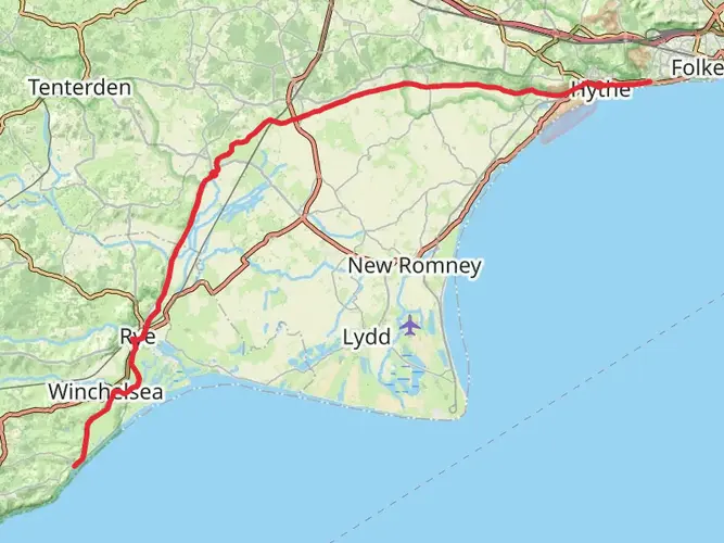
Spanning approximately 46 kilometers (around 28.5 miles) with a minimal elevation gain of about 100 meters (328 feet), the Royal Military Canal Path offers a unique blend of natural beauty and historical significance. This point-to-point trail is nestled near East Sussex, England, and is considered to have a medium difficulty rating.
Getting to the Trailhead
The trailhead is accessible by both public transport and car. If you're coming by train, the nearest station is at Folkestone. From there, you can catch a bus or taxi to the starting point near Hythe, East Sussex. For those driving, parking is available in Hythe, where you can leave your car and begin your hike.
Historical Significance
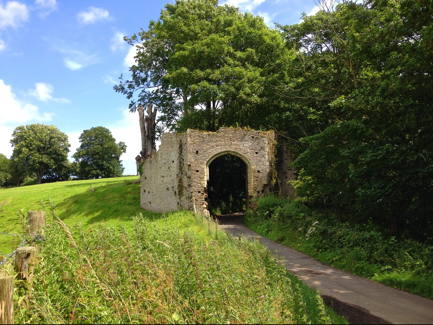
As you embark on the Royal Military Canal Path, you're not just taking a hike; you're walking through history. The canal was originally constructed in the early 19th century as a defense against the potential invasion by Napoleon's forces. As you traverse the path, you'll encounter numerous historical markers and remnants that tell the story of the area's military past.
Navigating the Trail
For navigation, HiiKER is an excellent tool to guide you along the Royal Military Canal Path. It will help you stay on track and provide you with real-time updates on your location along the route.
Landmarks and Wildlife
The trail meanders through a picturesque landscape, offering views of the serene canal waters, lush greenery, and a variety of wildlife. Birdwatchers will be delighted by the abundance of bird species that can be spotted along the canal, including kingfishers, herons, and warblers.
Approximately halfway through the hike, near the 23-kilometer (14-mile) mark, you'll reach the town of Rye. This charming medieval town is a perfect spot to rest and refuel. Take a moment to explore its cobbled streets and historic buildings.
Trail Conditions and Preparation
The path is well-maintained, with a mix of grassy and gravel sections. It's advisable to wear comfortable walking shoes and to bring layers, as the weather can be unpredictable. Don't forget to pack water and snacks, as there are stretches of the trail with limited facilities.
Flora and Fauna
The Royal Military Canal Path is also a haven for flora and fauna. The diverse habitats along the canal support a range of plant life, from aquatic plants to wildflowers that bloom in the spring and summer months. Keep an eye out for the rare and beautiful orchids that can sometimes be found in the grassy banks.
Conclusion
Remember, while the Royal Military Canal Path is not a strenuous hike, its length requires a good level of fitness and preparation. Plan your journey, check the weather, and ensure you have all the necessary gear for a safe and enjoyable hike along this historic and scenic trail.

What to expect?
Activity types
Frequently asked questions
How long is the Royal Military Canal Path and how hard is it to walk?
The Royal Military Canal Path is 46.34 km long with 179 m of total elevation gain, so it is a long but very gentle multi-day walk. The route is rated easy, and much of it follows flat canal-side towpath rather than steep hill terrain.
Where does the Royal Military Canal Path start and finish?
The Royal Military Canal Path follows the Royal Military Canal between Seabrook near Hythe in Kent and Cliff End at Pett Level in East Sussex. It is a point-to-point route, so transport planning matters more than on a circular walk.
Is the Royal Military Canal Path suitable for beginners or families?
The Royal Military Canal Path is one of the more approachable long-distance walks in southeast England because it is easy graded and climbs only 179 m over 46.34 km. The flat canal towpath makes individual sections around places like Hythe and West Hythe especially manageable for newer walkers and mixed-ability groups.
Can dogs go on the Royal Military Canal Path?
Dogs are commonly walked along the Royal Military Canal Path, and the canal-side towpath around Hythe and West Hythe is widely used for dog walking. Because this is a long route with road crossings, waterside edges, and changing local conditions, lead control is sensible near roads, livestock, and busier shared sections.
Where can you park for the Royal Military Canal Path?
Parking is available around Hythe for walkers starting or finishing the Royal Military Canal Path, and there is also a small car park off West Hythe Road by the canal. Hythe town parking is useful for shorter canal sections, while point-to-point walkers often choose one end and return by public transport or taxi.
Can you reach the Royal Military Canal Path by public transport?
Yes. The Seabrook and Hythe end of the Royal Military Canal Path is the easier end for public transport, with rail connections via Folkestone and local bus links along the coast. Ham Street also has a railway station close to the canal farther west, which can be useful for breaking the route into shorter stages.
What is special about the Royal Military Canal Path?
The Royal Military Canal Path combines an easy long-distance walk with one of southern England’s most unusual Napoleonic-era landscapes. The canal was built in the early 1800s as a defensive line against possible French invasion, and today the route passes historic canal features, interpretation points, marsh scenery, and wildlife-rich waterside habitat.
Comments and Reviews
User comments, reviews and discussions about the Royal Military Canal Path, England.
4.6
average rating out of 5
5 rating(s)