Download
Preview
Add to list
More
27.0 km
~2 days
123 m
Multi-Day
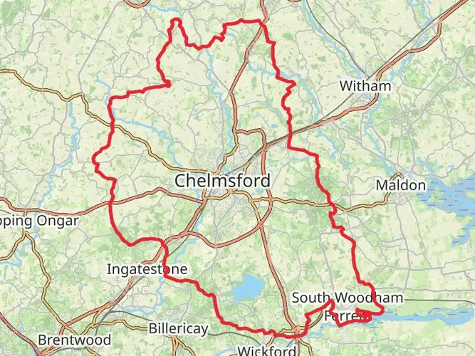
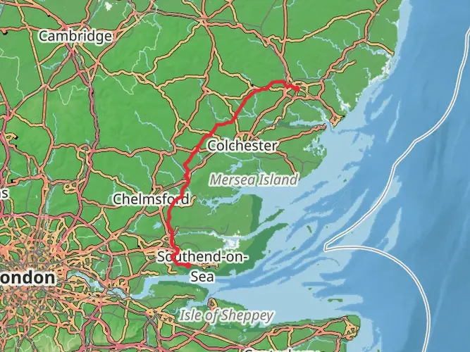
The Chelmer and Blackwater Navigation is a 27.0 km trail that starts in , Essex, England. Based on our data, the hike is graded as Easy. For information on how we grade trails, please read measuring the difficulty of a hiking trail on hiiker. Also, check our latest community posts for trail updates. This hike can be completed in approx 5 hrs 37 mins. Caution is advised on trail times as this depends on multiple variables. For more info read about how we calculate hike time.

What to expect?
Frequently asked questions
How long is the Chelmer and Blackwater Navigation walk and how hard is it?
The Chelmer and Blackwater Navigation route on HiiKER is 27.04 km with 123 m of elevation gain, so it is a long but generally gentle outing. It is rated easy, which fits the flat canal-side profile, but the full distance still makes it better suited to hikers prepared for a full day or a relaxed multi-day walk.
Where does the Chelmer and Blackwater Navigation start and finish?
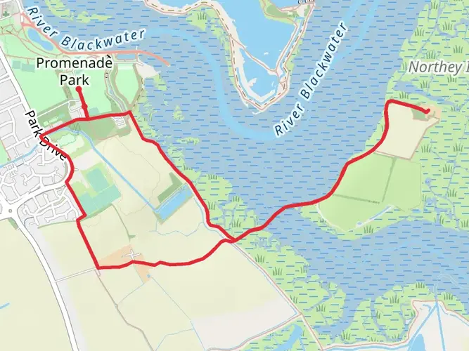
The Chelmer and Blackwater Navigation links Chelmsford with Heybridge Basin in Essex, following the navigation from the city out to the Blackwater Estuary. Essex Waterways describes the route as running from Chelmsford downstream to Heybridge Basin, with landmarks including Springfield Lock, Paper Mill Lock, Ulting, and the sea lock at Heybridge Basin.
Where can you park for the Chelmer and Blackwater Navigation walk?
The main parking options for the Chelmer and Blackwater Navigation are public parking in Chelmsford city center and a large public car park at Heybridge Basin. Paper Mill Lock also has parking at North Hill, Little Baddow, Chelmsford CM3 4BS, which makes it a practical midpoint access point for shorter sections.
What is the trail surface like on the Chelmer and Blackwater Navigation?
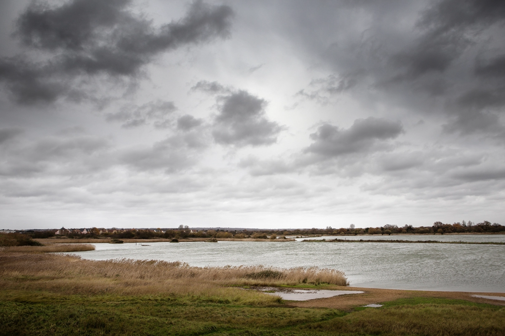
The Chelmer and Blackwater Navigation follows the towpath for much of its length. Essex Waterways notes that much of the towpath has been upgraded, but it can become muddy in wet weather, especially in winter, so waterproof footwear is often the safer choice outside dry spells.
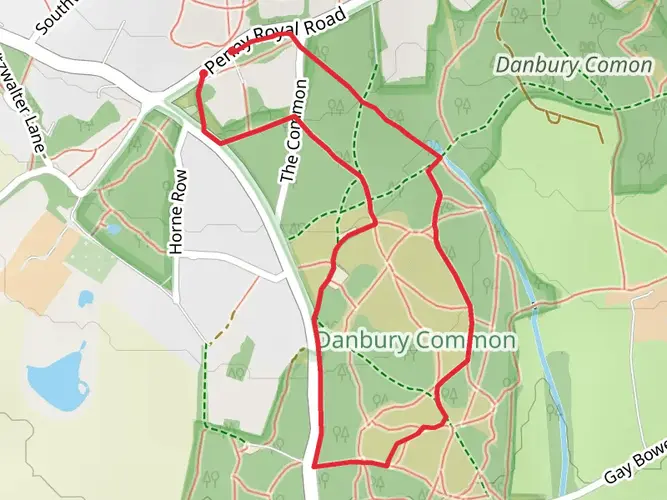
What are the main sights along the Chelmer and Blackwater Navigation walk?
Key landmarks on the Chelmer and Blackwater Navigation include Springfield Lock near Chelmsford, Paper Mill Lock, All Saints Church in Ulting, and Heybridge Basin where the navigation meets the tidal Blackwater Estuary. The waterway itself has 13 locks and passes through a notably rural stretch of Essex.
Can the Chelmer and Blackwater Navigation be walked in shorter sections?
Yes. The Chelmer and Blackwater Navigation is well suited to section walking because the towpath runs the full length of the navigation and other public rights of way connect with it. Popular break points include Chelmsford, Paper Mill Lock, and Heybridge Basin, making it easy to split the 27.04 km route into shorter walks.
Comments and Reviews
User comments, reviews and discussions about the Chelmer and Blackwater Navigation, England.
average rating out of 5
0 rating(s)