Download
3D Flyover
Add to list
More
225.8 km
~9 days
4591 m
Multi-Day
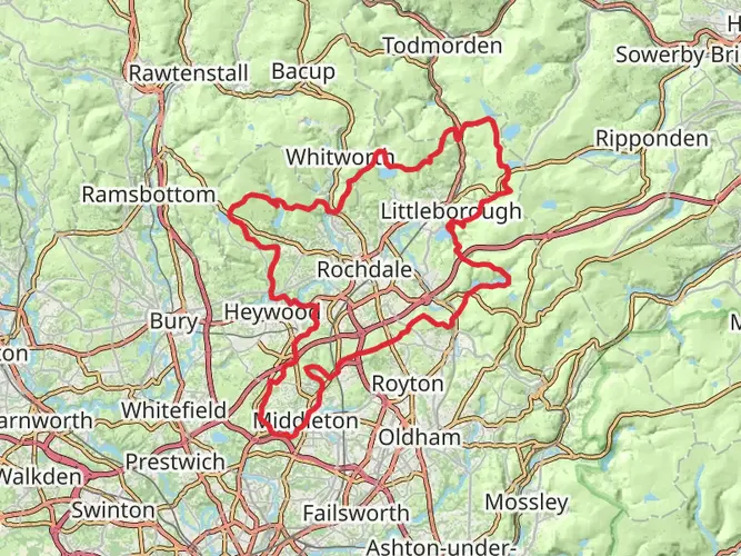
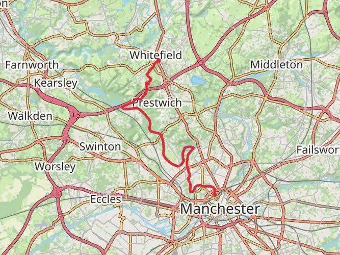
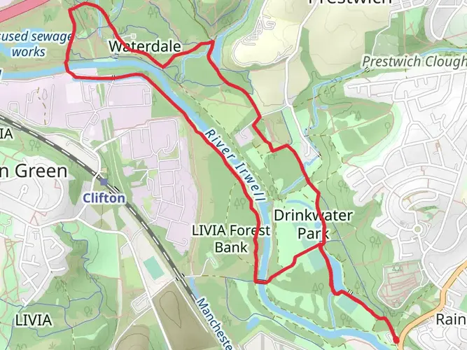
The Thirlmere Way is a 225.8 km trail that starts in , Greater Manchester, England. Based on our data, the hike is graded as Medium. For information on how we grade trails, please read measuring the difficulty of a hiking trail on hiiker. Also, check our latest community posts for trail updates. This hike can be completed in approx 9 days. Caution is advised on trail times as this depends on multiple variables. For more info read about how we calculate hike time.

What to expect?
Activity types
Frequently asked questions
How long does it take to hike the Thirlmere Way from Greater Manchester to the Lake District?
The Thirlmere Way is 225.79 km long, and the full route is commonly estimated at about 12 days on HiiKER. The staged breakdown also supports that pace, with 12 sections ranging from 11.3 km to 22.7 km and a total elevation gain of 4,591 m.
Is the Thirlmere Way a difficult long-distance walk?
The Thirlmere Way is graded Medium, so it sits in the middle ground between an easy low-level trail and a strenuous mountain crossing. Over 225.79 km it still packs in 4,591 m of climbing, with one of the biggest days being the 16.8 km stretch into Legburthwaite that gains about 859 m.
Where does the Thirlmere Way start and finish?
The route begins in Greater Manchester and runs north through Lancashire into Cumbria, finishing near Legburthwaite by Thirlmere in the Lake District. Staged route information places the opening section in Manchester and the final section ending at Legburthwaite, CA12 4TG.
Can the Thirlmere Way be walked in sections instead of all at once?
Yes. The Thirlmere Way is well suited to section hiking because it is commonly split into 12 stages. Those stages include shorter days such as Troutbeck to Grasmere at 11.3 km and longer days such as Alston to Fell End at 22.7 km, making it practical to break up over multiple trips.
Which towns and villages does the Thirlmere Way pass through?
The Thirlmere Way links Greater Manchester with the Lake District and passes through places including Bolton, Rivington, Pleasington, Burneside, Troutbeck, Grasmere, and Legburthwaite. LDWA also notes the wider route connection through Hulton, Abbey Village, Longridge, Dolphinholme, Caton, Kirkby Lonsdale, Kendal, and Windermere.
What is the hardest section of the Thirlmere Way?
One of the toughest sections is the final approach from Grasmere to Legburthwaite. That stage is 16.8 km long and gains about 859 m, which is the biggest climb on the staged route and a clear step up from lower-gain days earlier on the trail.
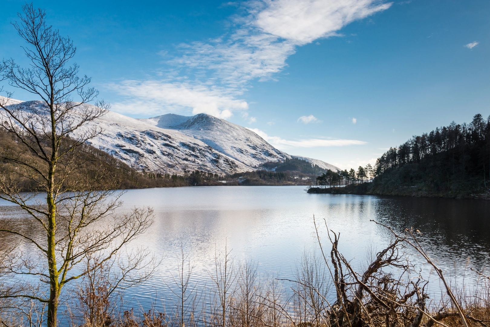
What kind of scenery can hikers expect on the Thirlmere Way?
The Thirlmere Way follows a long line from the Greater Manchester conurbation through Lancashire to the Lake District, so the scenery changes a lot over the route. HiiKER highlights rivers, lakes, mountain views, scenic viewpoints, and historic landmarks, with the northern end around Grasmere and Thirlmere giving the most classic Lakeland terrain.
Comments and Reviews
User comments, reviews and discussions about the Thirlmere Way, England.
average rating out of 5
0 rating(s)