Download
Preview
Add to list
More
172.8 km
~9 days
2578 m
Multi-Day
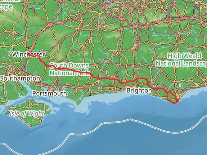
The Three Downs Link is a 172.8 km trail that starts in Winchester, Hampshire, England. Based on our data, the hike is graded as Easy. For information on how we grade trails, please read measuring the difficulty of a hiking trail on hiiker. Also, check our latest community posts for trail updates. This hike can be completed in approx 7 days. Caution is advised on trail times as this depends on multiple variables. For more info read about how we calculate hike time.

What to expect?
Activity types
Frequently asked questions
How long is the Three Downs Link in Hampshire and how many days does it take to hike?
The Three Downs Link is 172.76 km long with 2,578 m of total ascent, so it is a substantial multi-day route rather than a single-day walk. Most hikers would split it into roughly 7 to 10 days depending on daily mileage, overnight stops, and how much time is spent on the long chalk ridge sections and valley stretches.
Where does the Three Downs Link start and finish in Hampshire?
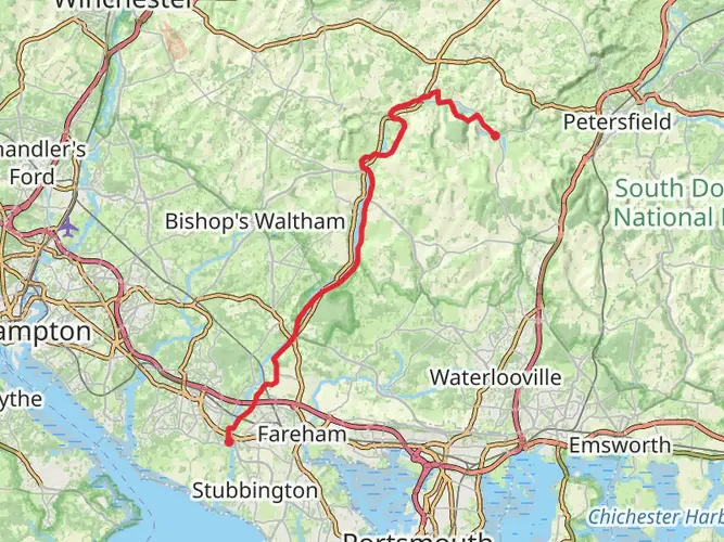
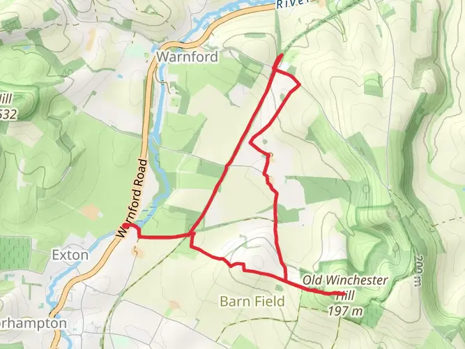
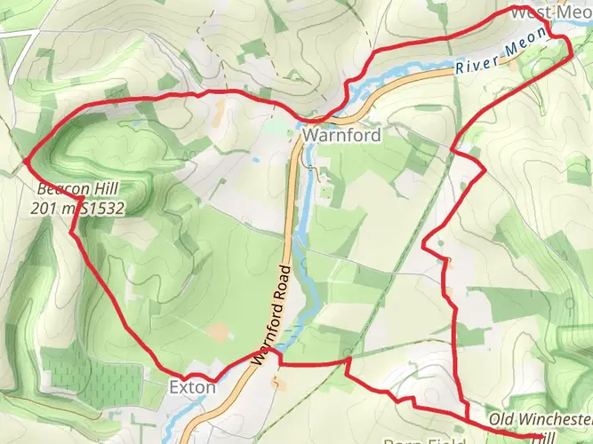
The route is commonly described as starting at Exton in Hampshire and running north to a track junction on Dean Hill southeast of Hungerford. It links major downland country across Hampshire and neighboring counties, passing open chalk ridges, valley sections, and landmarks such as Watership Down.
Is the Three Downs Link an easy trail or a challenging long-distance walk?
The Three Downs Link is graded easy overall, but that rating reflects the technical nature of the trail more than the commitment required. At 172.76 km with 2,578 m of climbing, it is still a serious long-distance hike that demands stamina, route planning, and several days on foot.
What kind of scenery does the Three Downs Link pass through?
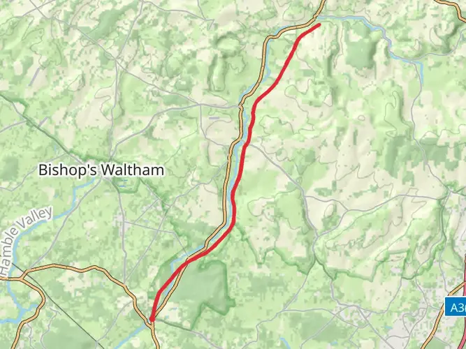
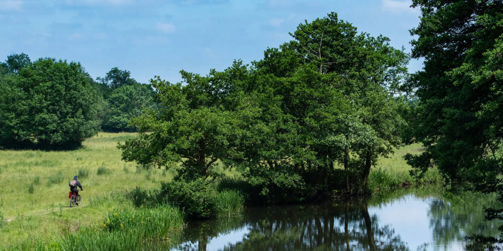
The Three Downs Link is known for long stretches of open chalk downland, broad ridge walking, and quieter valley sections with rivers, canals, and small villages. The route also crosses Watership Down and passes several Iron Age hill-fort landscapes, giving it a mix of big views and historic terrain.
Is the Three Downs Link waymarked on the ground?
The Three Downs Link is waymarked with its own named signage and is recognized as a multi-user long-distance route. On the ground, hikers can expect sections of bridleway and other rights of way across downland and rural Hampshire, though a full long-distance route of 172.76 km still benefits from careful navigation.
What is the elevation gain on the Three Downs Link and are there many steep climbs?
The total elevation gain on the Three Downs Link is 2,578 m across 172.76 km. That points to a route with repeated rolling climbs rather than constant mountain-style steepness, which fits the chalk downland character where ridges, escarpments, and valley crossings create steady ups and downs over several days.
Comments and Reviews
User comments, reviews and discussions about the Three Downs Link, England.
5.0
average rating out of 5
1 rating(s)