Download
Preview
Add to list
More
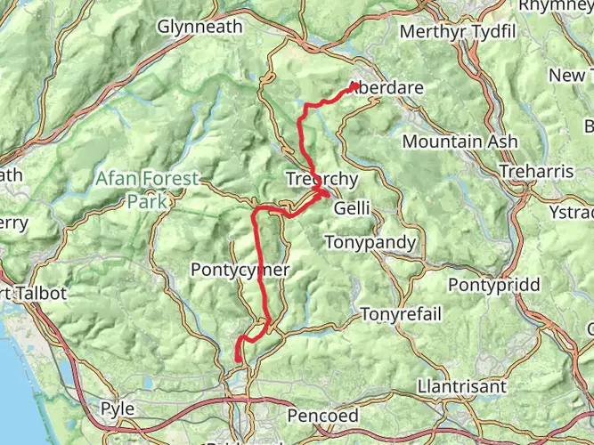
55.4 km
~4 days
1697 m
Multi-Day
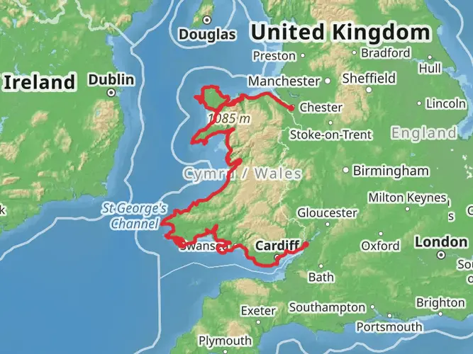
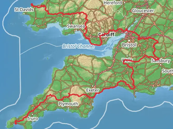
The Glamorgan Ridgeway Walk is a 55.4 km trail that starts in , Neath Port Talbot, England. Based on our data, the hike is graded as Medium. For information on how we grade trails, please read measuring the difficulty of a hiking trail on hiiker. Also, check our latest community posts for trail updates. This hike can be completed in approx 3 days. Caution is advised on trail times as this depends on multiple variables. For more info read about how we calculate hike time.

What to expect?
Frequently asked questions
How long does the Glamorgan Ridgeway Walk take to complete?
The Glamorgan Ridgeway Walk is 55.41 km long with 1,697 m of climbing, so most hikers treat it as a 2- to 4-day trip. A common stage split is four sections of about 14.0 km, 22.3 km, 13.5 km, and 5.7 km, though stronger walkers sometimes complete it faster.
Where does the Glamorgan Ridgeway Walk start and finish?
The Glamorgan Ridgeway Walk runs from Margam Country Park near Port Talbot to Caerphilly Castle. Common access points named on route information include Margam Country Park at the western end and Caerphilly at the eastern end, giving the walk a clear point-to-point format rather than a loop.
Is the Glamorgan Ridgeway Walk a difficult hike?
The Glamorgan Ridgeway Walk is generally rated medium, but the numbers show it is still a substantial outing. Over 55.41 km, the route gains 1,697 m, so it suits hikers comfortable with repeated climbs, long ridge sections, and multi-day walking rather than a short easy day hike.
Can the Glamorgan Ridgeway Walk be done in stages?
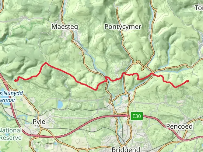
Yes. The Glamorgan Ridgeway Walk is well suited to staging, with published sections from Margam Country Park to Coytrahen, Coytrahen to Llantrisant, Llantrisant to Nantgarw, and Nantgarw to the Caerphilly end. Those stages range from 5.7 km to 22.3 km, which makes it practical to break up over several days.
What kind of terrain is on the Glamorgan Ridgeway Walk?
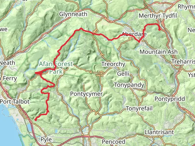
The Glamorgan Ridgeway Walk follows a mix of public footpaths, bridleways, forest tracks, and minor roads along the ridge line across South Wales. Route descriptions also note wild upland ground and valley sections, so conditions can vary from open ridge walking to farm tracks and woodland paths.
What are the main landmarks on the Glamorgan Ridgeway Walk?
Named landmarks associated with the Glamorgan Ridgeway Walk include Margam Country Park, Caerphilly Castle, Mynydd Baedan, Mynydd y Gaer, Mynydd Maendy, Llantrisant, Taffs Well, Craig yr Allt, and St Peter’s Church. The route is also known for broad views toward the Brecon Beacons, the Vale, and the Bristol Channel in clear weather.
Is there public transportation for the Glamorgan Ridgeway Walk?
Yes. Public transport is available at several points on the Glamorgan Ridgeway Walk, including rail access at Port Talbot Parkway for the Margam Country Park end and at Caerphilly for the eastern end. Route information also notes direct bus services X1 and 224 to Margam Park from Port Talbot Parkway.
Comments and Reviews
User comments, reviews and discussions about the Glamorgan Ridgeway Walk, England.
5.0
average rating out of 5
3 rating(s)