Download
Preview
Add to list
More
158.6 km
~8 days
1046 m
Multi-Day
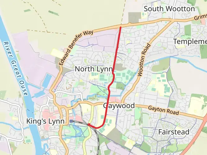
The Cross Norfolk Trail is a 158.6 km trail that starts in King's Lynn and West Norfolk, Norfolk, England. Based on our data, the hike is graded as Easy. For information on how we grade trails, please read measuring the difficulty of a hiking trail on hiiker. Also, check our latest community posts for trail updates. This hike can be completed in approx 6 days. Caution is advised on trail times as this depends on multiple variables. For more info read about how we calculate hike time.

What to expect?
Activity types
Frequently asked questions
How long is the Cross Norfolk Trail and where does the Cross Norfolk Trail start and finish?
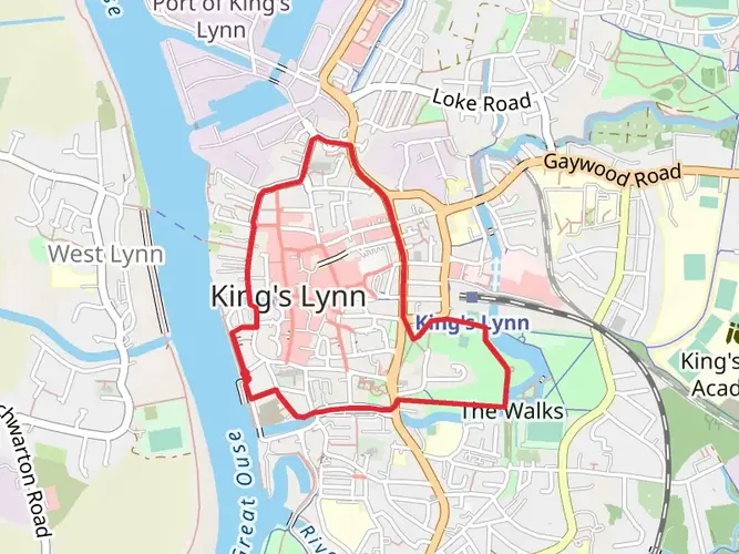
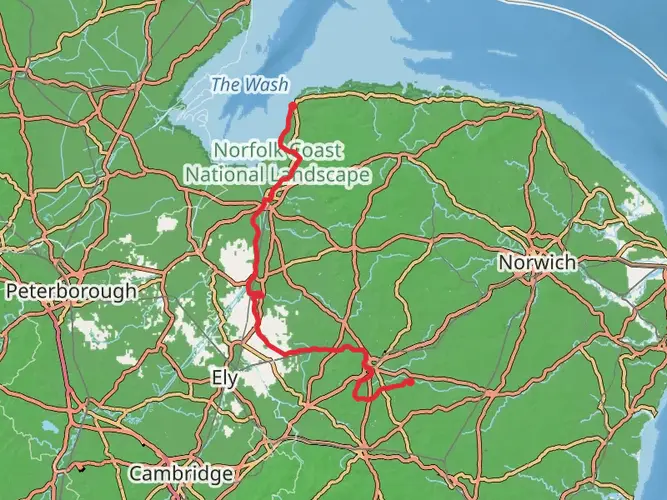
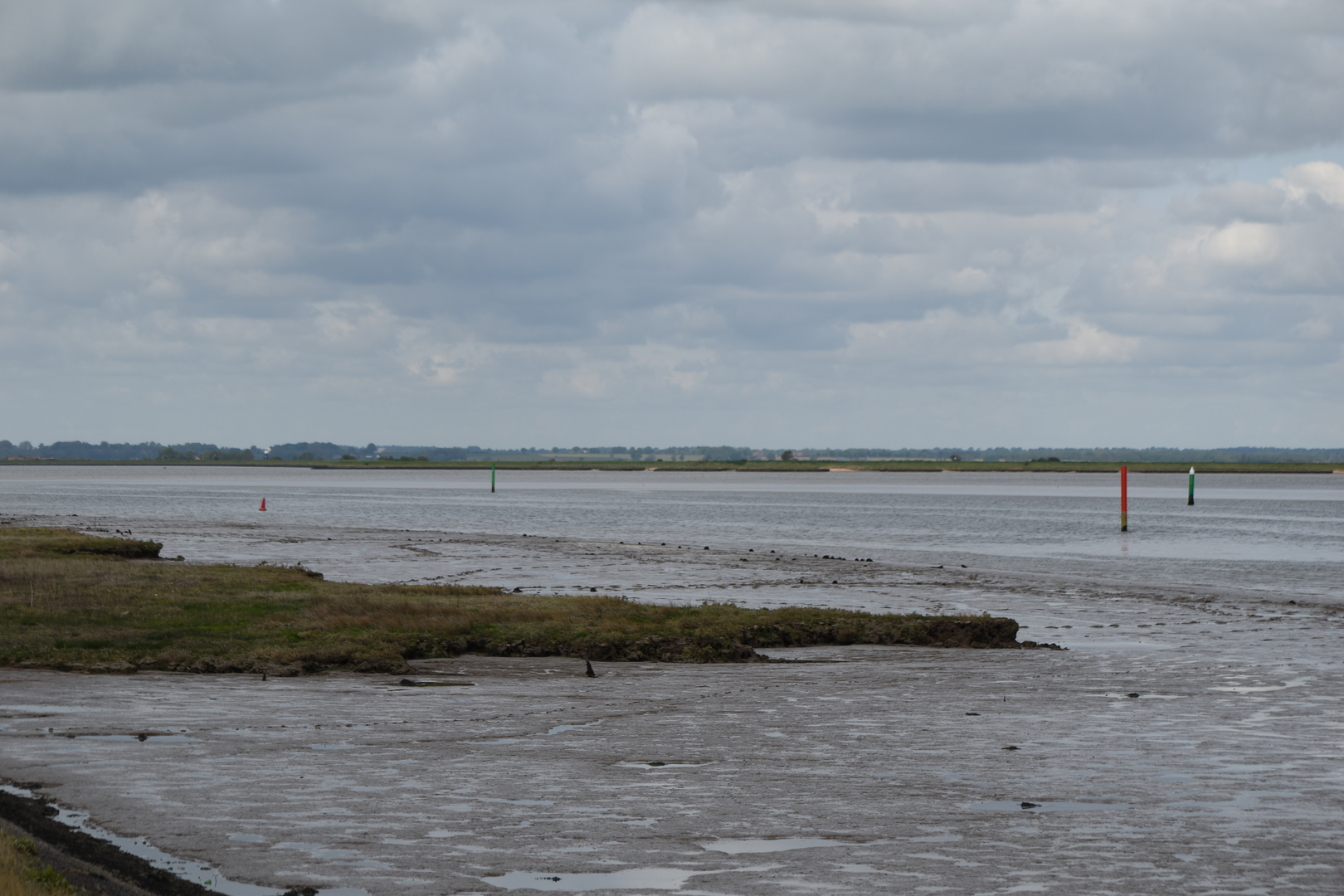
The Cross Norfolk Trail is 158.6 km long, or about 96 miles. It runs west to east across Norfolk from King's Lynn on The Wash to Great Yarmouth on the North Sea coast, linking the Nar Valley Way, Wensum Way, Marriott's Way, Wensum River Parkway, and Wherryman's Way into one continuous route.
How many days does it take to walk the Cross Norfolk Trail?
Most hikers split the Cross Norfolk Trail into about 6 to 9 days, depending on pace and overnight stops. At 158.6 km with only 1,046 m of total elevation gain, it is a long but generally gentle multi-day walk, so daily stages of roughly 18 to 27 km are realistic for many walkers.
Is the Cross Norfolk Trail difficult or suitable for beginner long-distance hikers?
The Cross Norfolk Trail is rated easy, which makes it one of the more approachable long-distance walks in England. The route covers 158.6 km, but the total ascent is only 1,046 m, so the challenge is more about distance and time on foot than steep climbing.
What landscapes and towns does the Cross Norfolk Trail pass through in Norfolk?
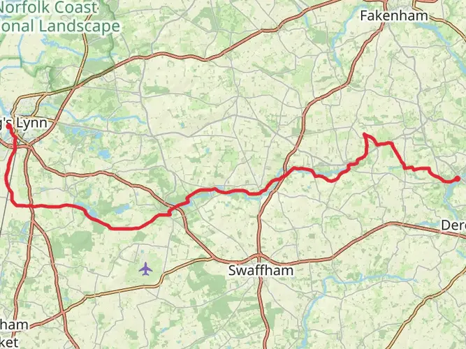
The Cross Norfolk Trail follows several of Norfolk's main river corridors, especially the Nar, Wensum, and Yare. It connects King's Lynn, Gressenhall, Lenwade, Norwich, and Great Yarmouth, passing through a mix of river valleys, rural countryside, city riverside walking in Norwich, and Broads landscapes on the approach to the coast.
Can the Cross Norfolk Trail be reached by public transport at the start and finish?
Yes. The western end at King's Lynn and the eastern end at Great Yarmouth are both practical public-transport endpoints, and the route also passes through Norwich, which makes mid-route access straightforward. On the eastern section, rail access is available at places such as Acle, Berney Arms, and Great Yarmouth on the Wherryman's Way corridor.
Is the Cross Norfolk Trail mostly flat?
Yes. For a 158.6 km route, the total elevation gain of 1,046 m is low, which means the Cross Norfolk Trail is mostly flat to gently rolling rather than mountainous. That fits the landscape of Norfolk, where river valleys, former railway paths, and low-lying Broads terrain shape much of the walk.
Comments and Reviews
User comments, reviews and discussions about the Cross Norfolk Trail, England.
4.0
average rating out of 5
2 rating(s)