Download
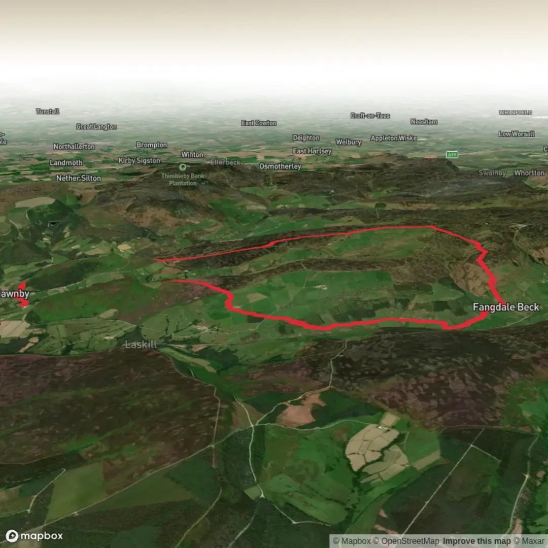
3D Flyover
Add to list
More
15.8 km
~3 hrs 48 min
383 m
Loop
“A sweeping moorland circuit through heather, history and big skies to the North York Moors’ roof.”
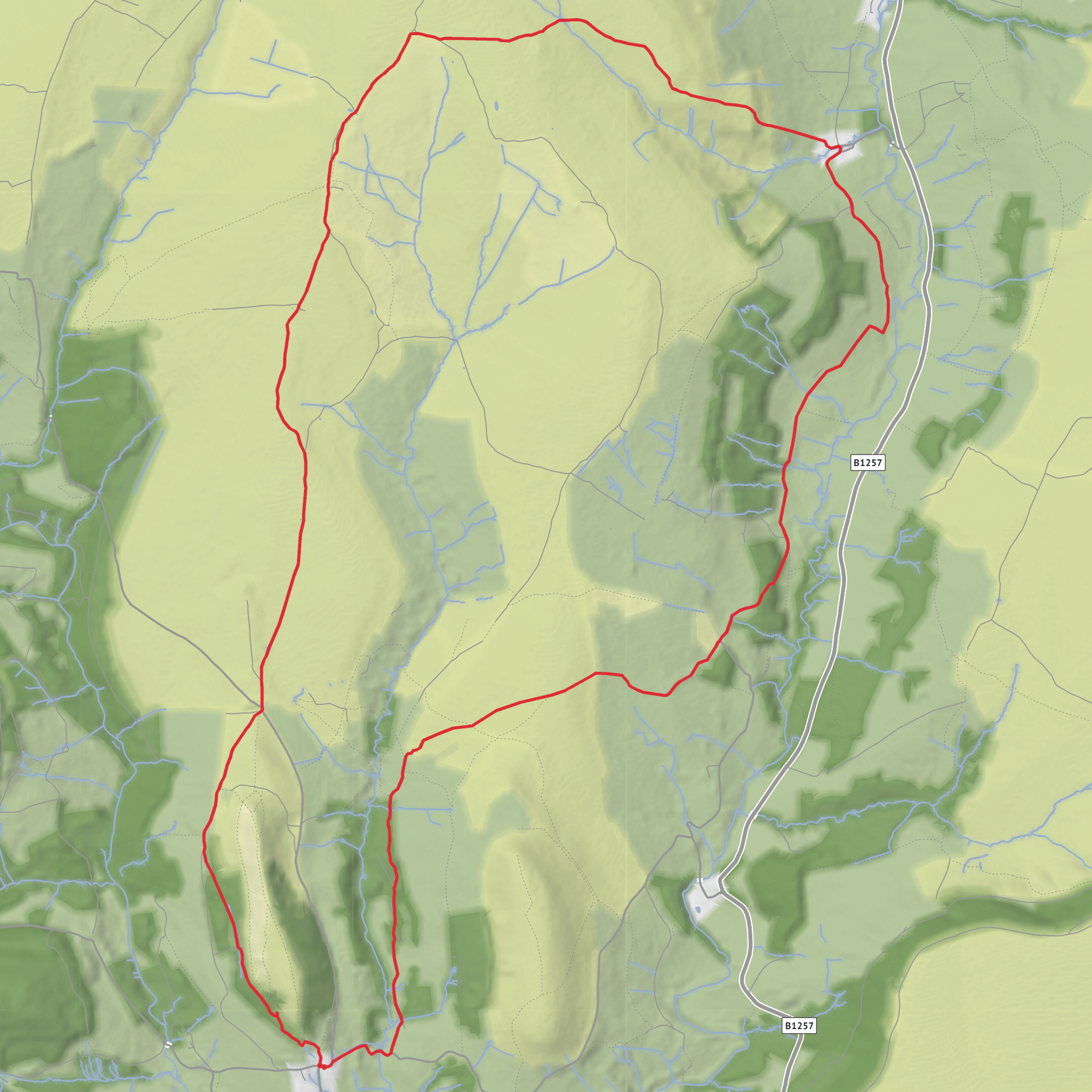
This medium-grade moorland loop explores one of the quieter corners of the North York Moors, linking the broad uplands of Blisdale West Moor, the heather country around Sour Milk Hills, and Round Hill, the highest point in the National Park at about 454 metres / 1,490 feet. Expect roughly 16 km / 10 miles with around 400 metres / 1,312 feet of ascent, mostly spread across long, steady climbs rather than constant steep scrambling. The route has a remote feel despite starting close to the road through Bilsdale, and it suits hikers who are comfortable with exposed terrain, shifting weather, and long sections on open moor tracks. (where2walk.co.uk)
The most practical trailhead is near Chop Gate car park, Chop Gate, Middlesbrough TS9 7JW, in Bilsdale. That is the clearest nearby landmark and formal parking point for this area, with public toilets at the car park. By car, Chop Gate is reached from the B1257, the road that runs through Bilsdale between Helmsley and Stokesley; this is the main access corridor into the dale. Public transport is limited in this part of the moors, so most hikers should plan on driving or combining rail and taxi from larger nearby hubs such as Stokesley or Helmsley-area connections; for live journey planning, check HiiKER alongside current public transport planners before setting out. (northyorkmoors.org.uk)
The walk usually begins with a gradual transition from the settled valley landscape into open access moorland. Early on, the route gives a good sense of Bilsdale’s character: a long, deep dale with steep sides, stone-walled fields, scattered farms and a more travelled feel than some other North York Moors valleys because of the B1257. As height is gained, the enclosed farmland gives way to wider horizons, rough grazing, and then the open moor itself. On clear days, the views lengthen dramatically along Bilsdale and across surrounding moorland ridges. (northyorkmoors.org.uk)
Terrain and what the day feels like
Most of the loop is on a mixture of estate tracks, moorland paths, and older trods across heather country. Underfoot, that usually means firm stony sections interspersed with softer, sometimes damp ground. Even when the route is not technically difficult, the openness of the terrain can make it feel committing. Wind exposure is often the biggest factor here, and low cloud can flatten the landscape enough to make junctions less obvious than they appear on a map. This is a route where solid navigation matters, especially if visibility drops on the tops, so carrying and checking the route in HiiKER is sensible. The climb to the high ground is generally steady, but there can be boggy patches and waterlogged edges after rain. (where2walk.co.uk)
Sour Milk Hills is one of the more distinctive sections of the loop, not because it is dramatic in an alpine sense, but because it captures the classic North York Moors upland atmosphere: broad heather, old tracks, and a sense of space. The area around Sour Milk Hills includes a notable sunken path running between banks of heather and near prehistoric burial mounds, which adds both texture and historical depth to the walk. Nearby Low Thwaites is a useful landmark on this side of the moor.
Surfaces
Unknown
Gravel
Dirt
Ground
Grass
Asphalt
Sand
Paved
Comments and Reviews
User comments, reviews and discussions about the Blisdale, Sour Milk Hills and Round Hill Loop, England.
average rating out of 5
0 rating(s)
