Download
3D Flyover
Add to list
More
60.7 km
4 days
1396 m
Multi Day
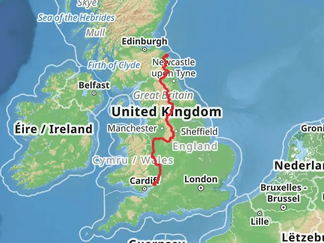
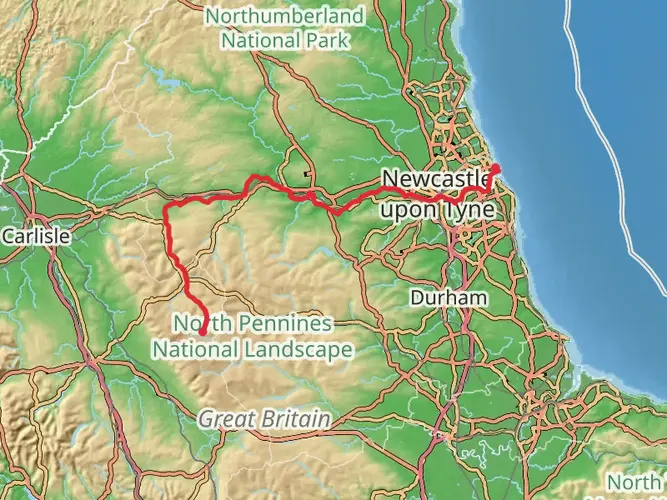
“Explore Isaac's Tea Trail: a historic 38-mile hike through Northumberland's stunning, wildlife-rich landscapes and mining heritage.”
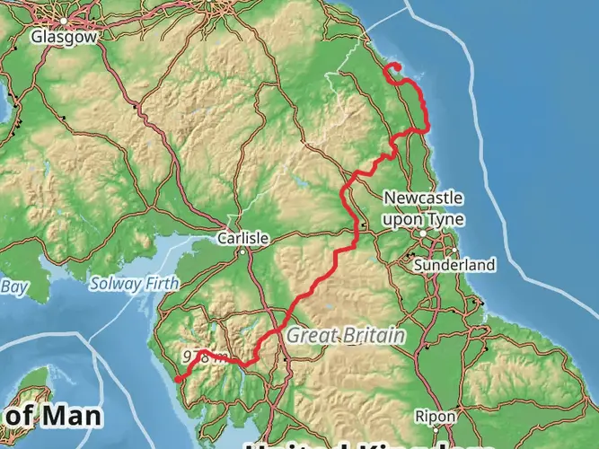
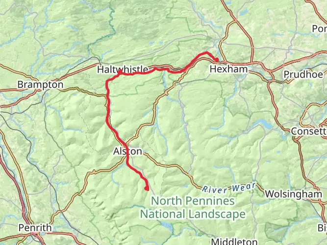
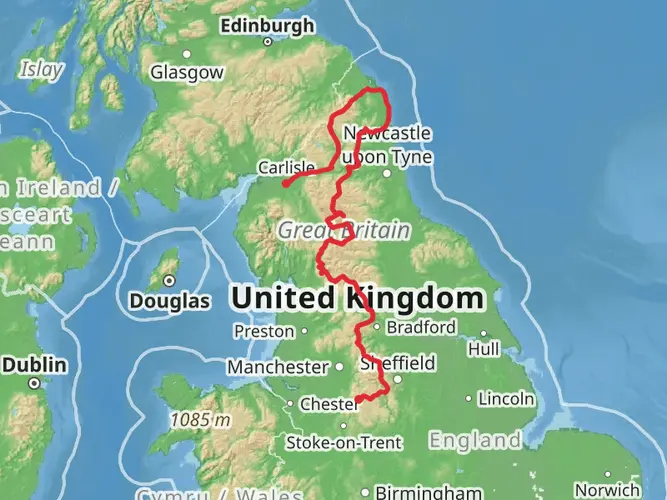
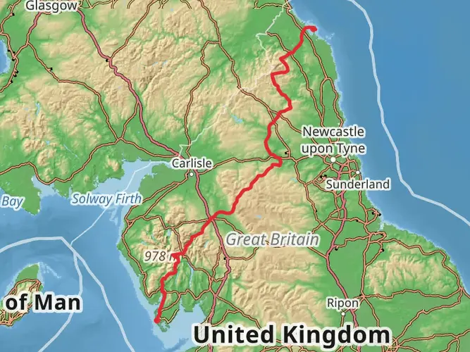
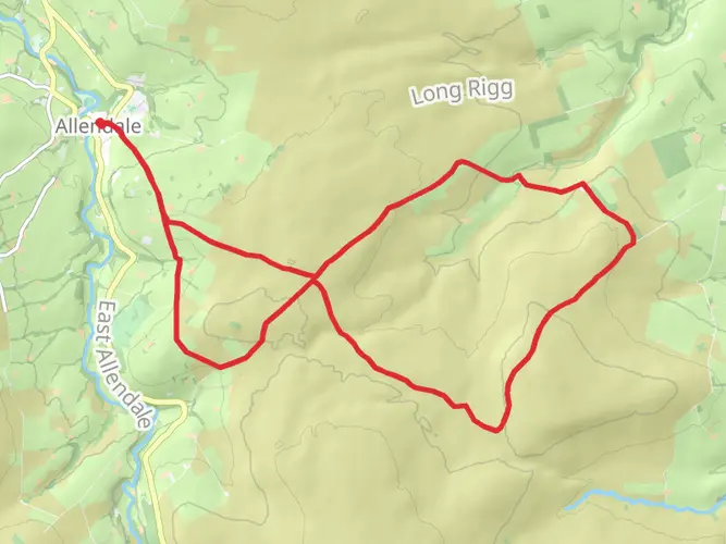
Isaac's Tea Trail is a scenic and historical loop that spans approximately 61 kilometers (around 38 miles) with an elevation gain of around 1500 meters (nearly 4921 feet). This trail is nestled in the picturesque landscape of Northumberland, England, and offers a medium difficulty rating, making it accessible to hikers with a moderate level of experience.
Getting to the Trailhead
The trailhead is conveniently located near the town of Allendale, which is accessible by car or public transport. If you're driving, you can navigate to Allendale Town, where parking is available. For those opting for public transport, buses serve the area, and the nearest train station is in Hexham, approximately 15 kilometers (about 9 miles) away. From Hexham, you can take a taxi or a bus to reach Allendale.
Historical Significance
The trail is named after Isaac Holden, a 19th-century philanthropist and tea seller who traversed these paths to sell his tea. The route takes you through a landscape steeped in mining history, with remnants of the lead mining industry that once thrived here.
Navigating the Trail
As you embark on your journey, you can utilize the HiiKER app to navigate the trail, ensuring you stay on the right path and don't miss any of the significant landmarks along the way.
Landmarks and Scenery
The trail offers a diverse range of scenery, from rolling hills and open moorland to lush woodlands and river valleys. You'll pass through charming villages such as Allendale and Nenthead, where you can appreciate the local architecture and perhaps stop for a rest at a traditional pub.
Wildlife and Nature
Nature enthusiasts will enjoy the variety of wildlife in the area, including curlews, red grouse, and the occasional roe deer. The flora is equally impressive, with heather-clad moorland and ancient woodlands that change with the seasons.
Trail Highlights
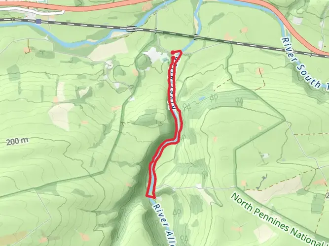
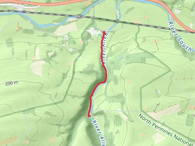
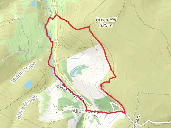
One of the highlights is the section that follows the River East Allen, offering serene views and the soothing sounds of flowing water. As you ascend to higher ground, you'll be rewarded with panoramic views of the surrounding countryside.
Practical Information
The trail is well-marked, but due to its length, it's advisable to tackle it over several days. There are accommodations and campsites along the route for overnight stays. Be sure to pack sufficient water and food, as some sections of the trail have limited facilities.
Weather Considerations
The weather in Northumberland can be unpredictable, so it's essential to check the forecast and prepare for all conditions. Waterproof gear and layers are recommended, as well as sturdy hiking boots to handle the varied terrain.
Preservation of the Trail
As you enjoy Isaac's Tea Trail, remember to follow the Leave No Trace principles to help preserve the beauty and integrity of the landscape for future hikers.
AI Planner
Days planned around your pace, with somewhere to stay each night.

What to expect?
Activity types
Surfaces
Unknown
Grass
Asphalt
Dirt
Ground
Unpaved
Concrete
Wood
Cobblestone
Comments and Reviews
User comments, reviews and discussions about the Isaac's Tea Trail, England.
4.57
average rating out of 5
8 rating(s)