Download
3D Flyover
Add to list
More
17.6 km
~4 hrs 22 min
510 m
Loop
“A wild borderland loop through sweeping Cheviot emptiness, crowned by Windy Gyle’s storied cairn.”
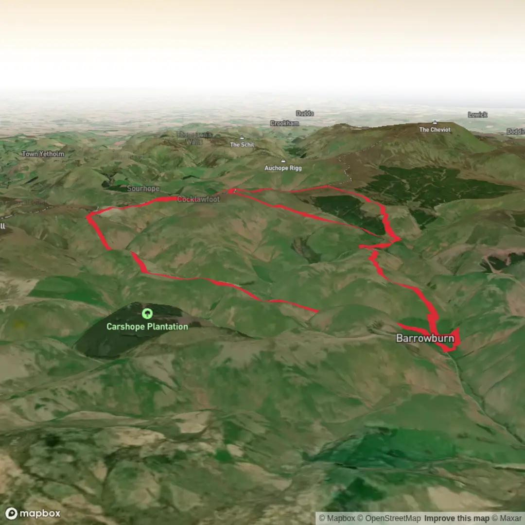
This medium-grade loop of about 18 km / 11.2 miles with roughly 500 m / 1,640 ft of ascent explores one of the most remote corners of the Cheviot Hills, working up from the Upper Coquet area toward Swineside Law, then on to Windy Gyle and Russell’s Cairn on the England–Scotland border before looping back through broad upland country. Windy Gyle stands at 619 m / 2,031 ft and is the highest true summit directly on the border, with the Pennine Way crossing its upper slopes. (en.wikipedia.org)
The start is best understood as being near the Upper Coquet Valley in Northumberland National Park, with access commonly associated with the Wedder Leap area above Alwinton, or with other valley-side pull-ins used for longer approaches to Windy Gyle from the English side. The nearest well-known village and practical reference point is Alwinton, Northumberland, the last village up the Coquet Valley before the high hills close in. Northumberland National Park identifies Alwinton as the gateway for walks heading deeper into the Cheviots and Coquet Valley. (northumberlandnationalpark.org.uk)
By car, most walkers approach via Rothbury and Alwinton, then continue west up the Coquet Valley on narrow upland roads toward the higher valley parking areas. Expect single-track or very narrow sections, passing places, and limited formal parking once beyond the village. This is a landscape where road access feels remote long before the walking begins, so arriving early is wise in busy periods. (northumberlandnationalpark.org.uk)
Public transport is limited. Alwinton is the nearest realistic public-transport access point for the Upper Coquet, but services into the upper valley are sparse and do not usually reach the higher trailheads, so most hikers should plan on a taxi transfer from a larger hub or be prepared for extra road walking. Comparable access on the Scottish side at Cocklawfoot is listed with no public transport. (walkhighlands.co.uk)
What the route feels like
The outing begins with a steady build rather than an immediate summit push. Lower sections are usually on estate tracks, grassy vehicle tracks, or old hill paths, but once higher up the route becomes more exposed and more committing. Swineside Law gives an early sense of the terrain ahead: rounded, grassy uplands with long sightlines, peatier patches in places, and a feeling of space that is typical of the Cheviots. These are not craggy mountains, but they can feel very serious in poor weather because the ground is broad, open, and often feature-light away from the main lines of path.
As height is gained, the route opens toward the Border Ridge. The upper ground around Windy Gyle is crossed by the Pennine Way, and on the better-used ridge sections there are stone slabs over formerly boggy stretches. Off those improved lines, expect softer ground, wet patches after rain, and some pathless-feeling sections depending on the exact loop taken around Swineside Law and the return leg. Walkhighlands specifically notes a high bog factor on the Windy Gyle circuit terrain, even where the main ridge itself is improved. (walkhighlands.co.uk)
The climbing is rarely brutally steep for long, but the cumulative effort matters. Around 500 m / 1,640 ft of ascent spread over 18 km / 11.2 miles makes this a route that suits hikers comfortable with a full day on open moorland. In wind, mist, or driving rain, it can feel harder than the numbers suggest because there is little shelter until the summit cairn itself.
Landmarks and historical interest
The standout landmark is Russell’s Cairn on Windy Gyle, a large summit cairn topped by a trig point. The cairn is widely regarded as a Bronze Age burial monument, later associated with the death of Lord Francis Russell in 1585 during a March Warden dispute or meeting held under truce near the border. That combination of prehistoric monument and Border history gives the summit unusual depth: it is both an ancient burial site and a place tied to the turbulent Anglo-Scottish frontier. (mypennines.co.uk)
This whole region is shaped by old cross-border movement. Historic drove roads and

Surfaces
Unknown
Grass
Unpaved
Comments and Reviews
User comments, reviews and discussions about the Swineside Law, Russell's Cairn and Windy Gyle Loop, England.
average rating out of 5
0 rating(s)