Download
3D Flyover
Add to list
More
39.2 km
~2 days
664 m
Multi-Day
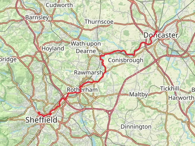
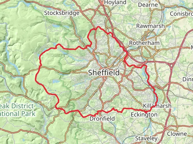
The Rotherham Round Walk is a 39.2 km trail that starts in , Rotherham, England. Based on our data, the hike is graded as Easy. For information on how we grade trails, please read measuring the difficulty of a hiking trail on hiiker. Also, check our latest community posts for trail updates. This hike can be completed in approx 2 days. Caution is advised on trail times as this depends on multiple variables. For more info read about how we calculate hike time.

What to expect?
Activity types
Frequently asked questions
How long is the Rotherham Round Walk and how much climbing does it have?
The Rotherham Round Walk is 39.17 km long, which is about 24.3 miles, with 664 m of total ascent. That puts it in the range of a long full-day hike for strong walkers, or an easier route to split over two days because it is a circular multi-day trail.
How difficult is the Rotherham Round Walk and is it suitable for beginner hikers?
The Rotherham Round Walk is generally rated easy, with most of the route following public footpaths on a relatively gentle circuit around Rotherham. The main challenge is its length rather than technical ground, although there are a few short steeper climbs and a mix of rural, semi-urban, and town-edge terrain.
Can the Rotherham Round Walk be done in one day?
Yes, the Rotherham Round Walk can be completed in one long day by fit walkers, but 39.17 km with 664 m of ascent is a substantial outing. Many hikers will find it more comfortable as a two-day walk, especially if allowing time for breaks through the Wentworth Estate area, the rural southern section, and the return into Rotherham through Boston Park.
Where does the Rotherham Round Walk start and finish?
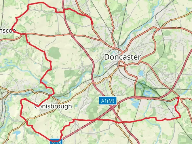
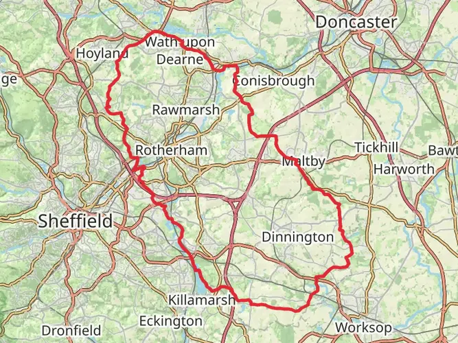
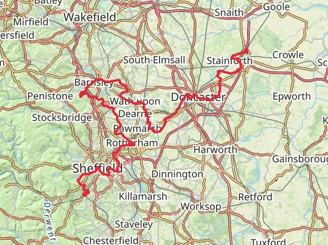
The Rotherham Round Walk is a circular route that starts and finishes in Rotherham. Long-distance path listings place the start and finish at grid reference SK428928, and the route forms a clockwise circuit leaving town to the northwest before looping back in through Boston Park.
Is the Rotherham Round Walk waymarked?
Yes, the Rotherham Round Walk is waymarked. Long-distance path records note named waymark discs with a Chantry Bridge logo, and the route is also marked on Ordnance Survey mapping, which helps on a circuit that passes through both countryside and built-up sections around Rotherham.
What kind of scenery does the Rotherham Round Walk pass through?
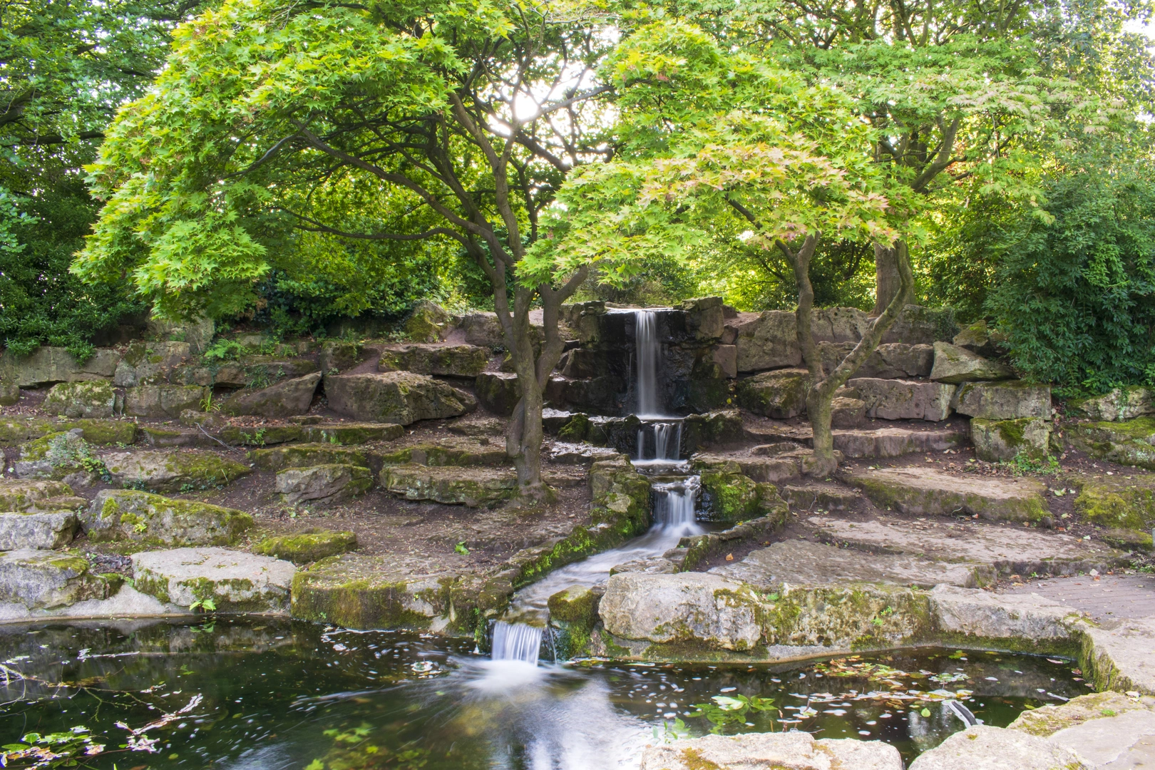
The Rotherham Round Walk mixes wooded and rural scenery with some urban-edge walking. The route leaves Rotherham through a wooded clough, passes through countryside around the Wentworth Estate in the north, crosses a short industrial and semi-urban section to the west, then continues through more undulating rural ground before re-entering town via Boston Park.
Comments and Reviews
User comments, reviews and discussions about the Rotherham Round Walk, England.
average rating out of 5
0 rating(s)