Download
Preview
Add to list
More
177.5 km
~10 days
3865 m
Multi-Day
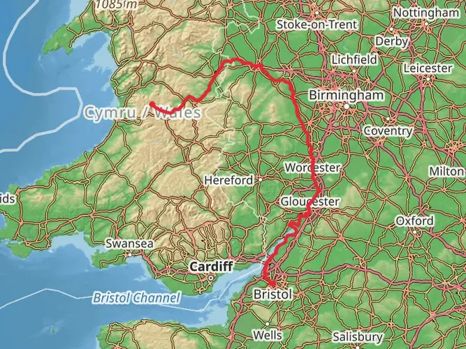
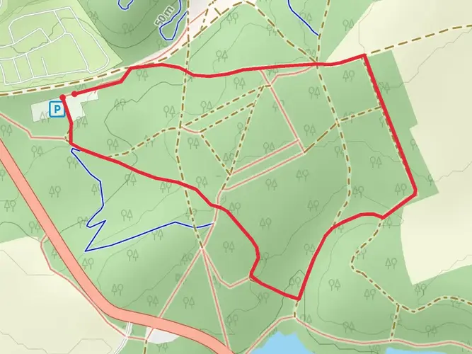
The Geopark Way is a 177.5 km trail that starts in , Shropshire, England. Based on our data, the hike is graded as Medium. For information on how we grade trails, please read measuring the difficulty of a hiking trail on hiiker. Also, check our latest community posts for trail updates. This hike can be completed in approx 7 days. Caution is advised on trail times as this depends on multiple variables. For more info read about how we calculate hike time.

What to expect?
Activity types
Frequently asked questions
How long does it take to hike the Geopark Way in Shropshire?
The Geopark Way is 177.47 km long with 3,865 meters of climbing, so it is usually treated as a multi-day walk rather than a single long outing. A common schedule is about 10 days on trail, though stronger walkers may move faster and anyone stopping often in towns or at geology sites may take longer.
Where does the Geopark Way start in Shropshire and what is the first section like?
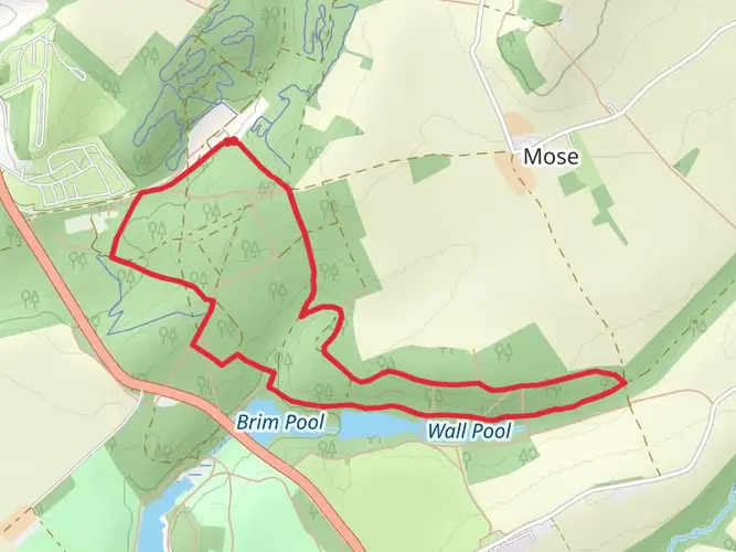
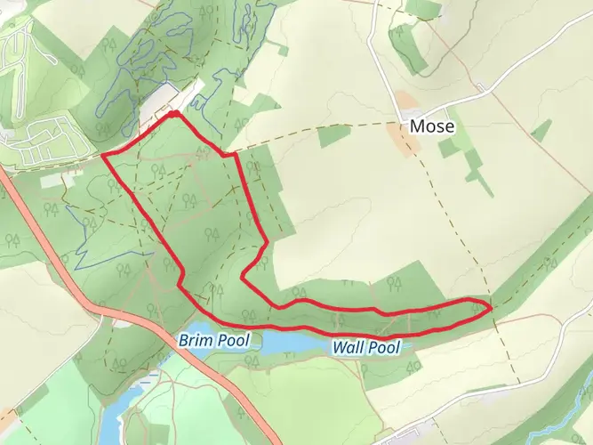
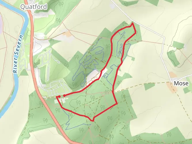
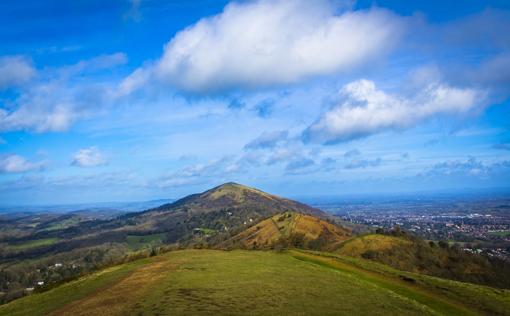
The Geopark Way starts in Bridgnorth in Shropshire. The opening section explores Bridgnorth’s Permian sandstone cliffs above the River Severn, including the split between High Town and Low Town, before the route continues south toward the Wyre Forest Coalfield.
Is the Geopark Way a difficult walk or is it manageable for regular hikers?
The Geopark Way is generally graded Medium, which puts it within reach of regular hikers with decent fitness and some experience of back-to-back walking days. The challenge comes from its 177.47 km length and 3,865 meters of total ascent, plus a mix of riverside paths, woodland tracks, ridge walking, and heathland.
Can the Geopark Way be walked in sections instead of as one full thru-hike?
Yes. The Geopark Way is commonly broken into shorter day walks rather than completed in one push. The route is widely described as 109 miles and is often split into 17 day stages, which makes it practical for section hiking from Bridgnorth and other settlements along the line of the trail.
What kind of scenery and terrain does the Geopark Way in Shropshire include?
The Geopark Way is designed to link geological sites, so the terrain changes a lot over the route. From Shropshire it heads out from the sandstone cliffs of Bridgnorth and then continues beside rivers, through forests, along ridge tops, and across heathland, with geology and landscape as the main theme throughout.
Is the Geopark Way dog friendly in Shropshire?
Dogs can generally be taken on public rights of way in Shropshire, so many sections of the Geopark Way are suitable for walking with a dog. Control matters because long-distance routes can include farmland, gates, stiles, livestock, and mixed-use countryside access, so dogs need to be kept close and managed carefully on rural sections.
Where can hikers park for the Geopark Way start in Bridgnorth?
For a Geopark Way start in Bridgnorth, the most practical option is to use one of the town car parks and walk into the trailhead area in High Town. Shropshire Council lists Bridgnorth town parking, including car parks such as Severn Street and Innage Lane, and overnight parking is generally permitted in council car parks where local restrictions do not apply.
Comments and Reviews
User comments, reviews and discussions about the Geopark Way, England.
4.0
average rating out of 5
3 rating(s)