Download
Preview
Add to list
More
63.2 km
~4 days
1088 m
Multi-Day
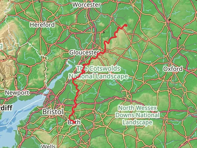
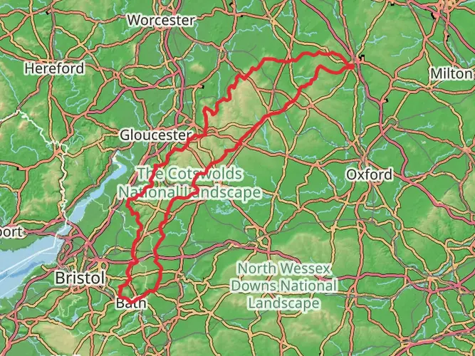
The Limestone Link - Cotswolds to Mendips Hills is a 63.2 km trail that starts in , South Gloucestershire, England. Based on our data, the hike is graded as Easy. For information on how we grade trails, please read measuring the difficulty of a hiking trail on hiiker. Also, check our latest community posts for trail updates. This hike can be completed in approx 3 days. Caution is advised on trail times as this depends on multiple variables. For more info read about how we calculate hike time.

What to expect?
Activity types
Frequently asked questions
How long is the Limestone Link - Cotswolds to Mendips Hills and how many days does it take to walk?
The Limestone Link - Cotswolds to Mendips Hills is 63.2 km long with 1,088 m of total ascent. Most walkers split it over 2 to 4 days, depending on pace and stopovers, because it is a multi-day route with generally easy overall difficulty rather than a single short day hike.
Where does the Limestone Link - Cotswolds to Mendips Hills start and finish?
The Limestone Link - Cotswolds to Mendips Hills links the Cotswold Way at Cold Ashton in Gloucestershire with the West Mendip Way at Shipham in Somerset. It was created to connect the limestone landscapes of the Cotswolds and the Mendip Hills, crossing the corridor between those two National Landscapes.
Is the Limestone Link - Cotswolds to Mendips Hills an easy walk?
The Limestone Link - Cotswolds to Mendips Hills is graded easy, but that does not mean flat. Over 63.2 km it still gains 1,088 m, so the route is best described as straightforward long-distance walking with some climbs onto and across the Cotswolds and Mendip Hills rather than technical terrain.
What kind of scenery does the Limestone Link - Cotswolds to Mendips Hills pass through?
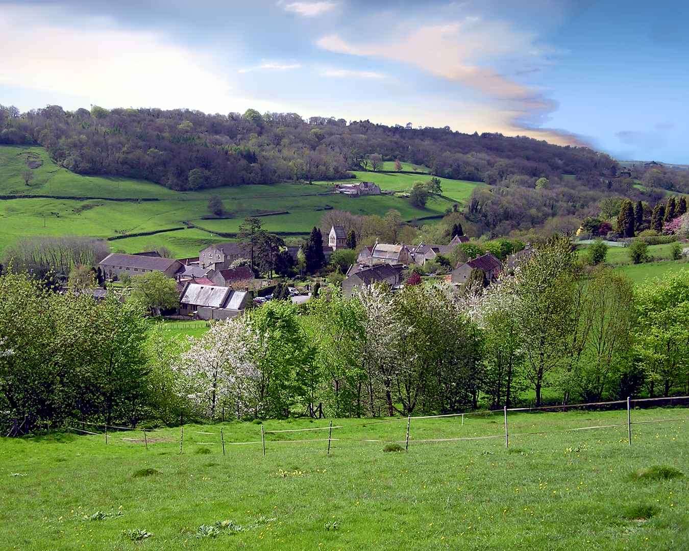
The Limestone Link - Cotswolds to Mendips Hills was designed to connect two distinct limestone landscapes: the Cotswolds and the Mendip Hills. The route passes through countryside shaped by limestone geology, including dry stone walls, farmed valleys, rolling hills, and the landscape around the Chew Valley and Somer Valley before reaching the Mendips.
Is the Limestone Link - Cotswolds to Mendips Hills waymarked?
The Limestone Link - Cotswolds to Mendips Hills is waymarked with an ammonite symbol. That marker reflects the route’s limestone theme and helps identify the trail as it runs between Cold Ashton and Shipham across the countryside south of Bristol and Bath.
What is the best direction to walk the Limestone Link - Cotswolds to Mendips Hills?
The Limestone Link - Cotswolds to Mendips Hills can be walked in either direction, from Cold Ashton to Shipham or from Shipham to Cold Ashton. Many walkers choose direction based on transport and overnight logistics, since the route is linear and connects the Cotswold Way in the north with the West Mendip Way in the south.
Comments and Reviews
User comments, reviews and discussions about the Limestone Link - Cotswolds to Mendips Hills, England.
average rating out of 5
0 rating(s)