Download
Preview
Add to list
More
Trail length
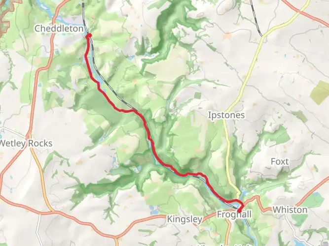
20.4 km
Time
~2 days
Elevation Gain
554 m
Hike Type
Multi-Day
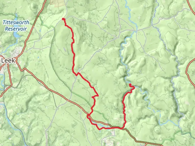
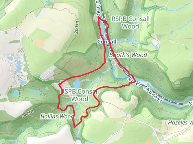
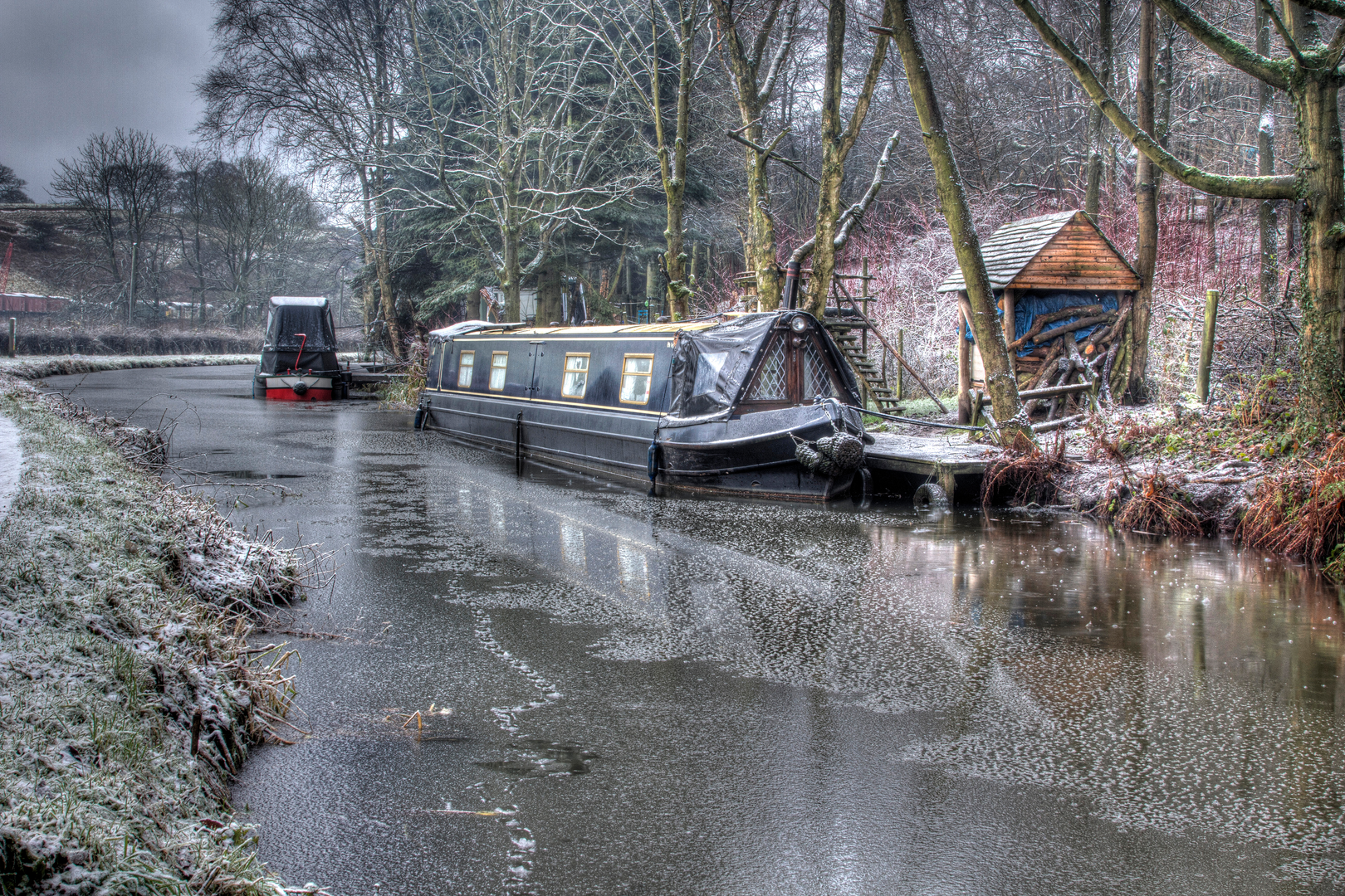
The Churnet Valley Geotrail is a 20.4 km trail that starts in Staffordshire Moorlands, Staffordshire, England. Based on our data, the hike is graded as Easy. For information on how we grade trails, please read measuring the difficulty of a hiking trail on hiiker. Also, check our latest community posts for trail updates. This hike can be completed in approx 5 hrs 1 mins. Caution is advised on trail times as this depends on multiple variables. For more info read about how we calculate hike time.

What to expect?
canyons
wheelchair-friendly
rivers
historic-landmarks
scenic-views
Activity types
historical-sites
nature-trips
Comments and Reviews
User comments, reviews and discussions about the Churnet Valley Geotrail, England.
average rating out of 5
0 rating(s)