Download
Preview
Add to list
More
113.9 km
~6 days
833 m
Multi-Day
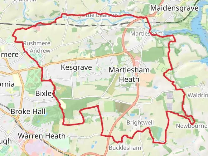
The East Suffolk Line Walks is a 113.9 km trail that starts in , Suffolk, England. Based on our data, the hike is graded as Easy. For information on how we grade trails, please read measuring the difficulty of a hiking trail on hiiker. Also, check our latest community posts for trail updates. This hike can be completed in approx 4 days. Caution is advised on trail times as this depends on multiple variables. For more info read about how we calculate hike time.

What to expect?
Activity types
Frequently asked questions
How long does it take to walk the East Suffolk Line Walks in Suffolk?
The East Suffolk Line Walks cover 113.92 km with 833 m of total ascent, so most hikers break it into several easy days rather than treating it as a single outing. A typical pace for a route of this length is around 5 to 8 days, depending on how many station-to-station sections are combined.
Where does the East Suffolk Line Walks route start and finish?
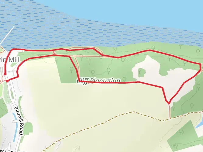
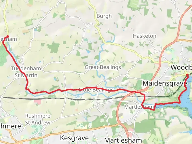
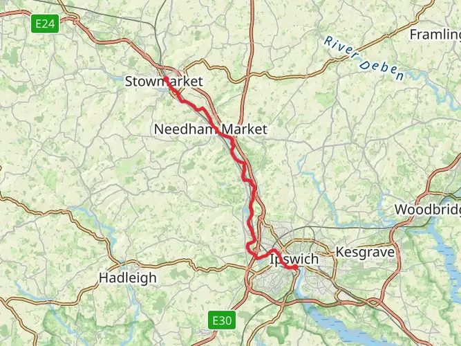
The East Suffolk Line Walks are linked to the East Suffolk railway corridor in Suffolk, with walks running between stations on the line from Lowestoft toward Ipswich and onward to Felixstowe. The wider walking series is built around 22 waymarked routes using stations such as Lowestoft, Beccles, Halesworth, Saxmundham, Woodbridge, Ipswich, Trimley, and Felixstowe as practical start and finish points.
Is the East Suffolk Line Walks route easy enough for beginners?
The East Suffolk Line Walks are rated Easy, which makes them a good fit for hikers looking for a gentler multi-day route. Even so, the full trail is 113.92 km long, so the challenge comes more from the overall distance than from steep climbing, with total elevation gain of 833 m spread across the route.
Can the East Suffolk Line Walks be done by train without a car?
Yes. The route is designed around the East Suffolk Lines railway, which links Ipswich and Lowestoft and also connects from Ipswich to Felixstowe, making station-to-station walking the obvious way to tackle it. Stations on the line include Lowestoft, Beccles, Brampton, Halesworth, Darsham, Saxmundham, Wickham Market, Melton, Woodbridge, Westerfield, Ipswich, Trimley, and Felixstowe.
What is the best way to split up the East Suffolk Line Walks?
The most practical way to divide the East Suffolk Line Walks is into station-based sections, because the walking network was created around rail access rather than a single remote trailhead. That makes it easy to plan shorter days between places such as Lowestoft and Beccles, Halesworth and Darsham, or Woodbridge and Ipswich, then continue south toward Trimley and Felixstowe.
What kind of scenery does the East Suffolk Line Walks pass through?
The East Suffolk Line Walks pass through east Suffolk countryside and connect a string of towns and villages along the railway. Depending on the section, the route links places from Lowestoft to Felixstowe and mixes rural farmland, market-town edges, and lower-lying coastal Suffolk landscapes rather than mountainous terrain.
Comments and Reviews
User comments, reviews and discussions about the East Suffolk Line Walks, England.
3.5
average rating out of 5
2 rating(s)