Download
Preview
Add to list
More
184.3 km
~9 days
1575 m
Multi-Day
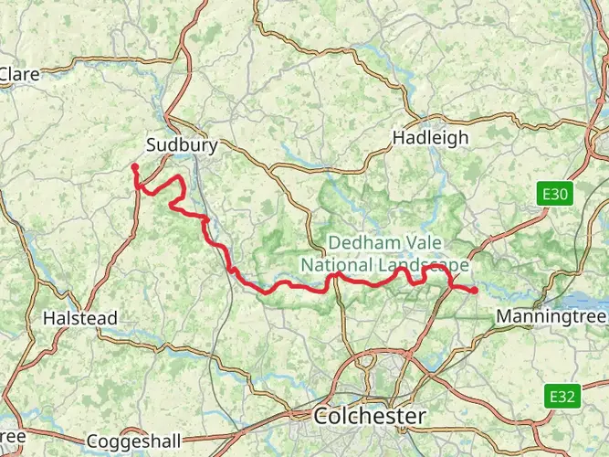
The Flatford to Lowestoft Walk is a 184.3 km trail that starts in Babergh, Suffolk, England. Based on our data, the hike is graded as Easy. For information on how we grade trails, please read measuring the difficulty of a hiking trail on hiiker. Also, check our latest community posts for trail updates. This hike can be completed in approx 7 days. Caution is advised on trail times as this depends on multiple variables. For more info read about how we calculate hike time.

What to expect?
Activity types
Frequently asked questions
How long is the Flatford to Lowestoft Walk and how many days does the Flatford to Lowestoft Walk take?
The Flatford to Lowestoft Walk is 184.34 km long with 1,575 m of total ascent, so it is a genuine multi-day route rather than a single long day hike. Most walkers split a route of this length into roughly 8 to 12 days, depending on daily mileage, luggage, and how much time is spent in coastal towns and nature reserves along the way.
Is the Flatford to Lowestoft Walk difficult, and is the Flatford to Lowestoft Walk suitable for beginners?
The Flatford to Lowestoft Walk is rated easy, which fits the generally low-lying terrain of Suffolk rather than steep mountain climbing. The challenge comes more from the overall distance of 184.34 km than from hard ascents, so it suits beginners with decent fitness who are comfortable walking consecutive days.
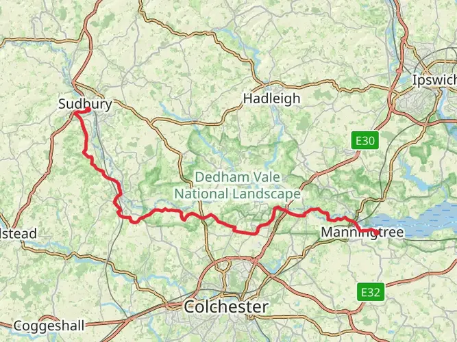
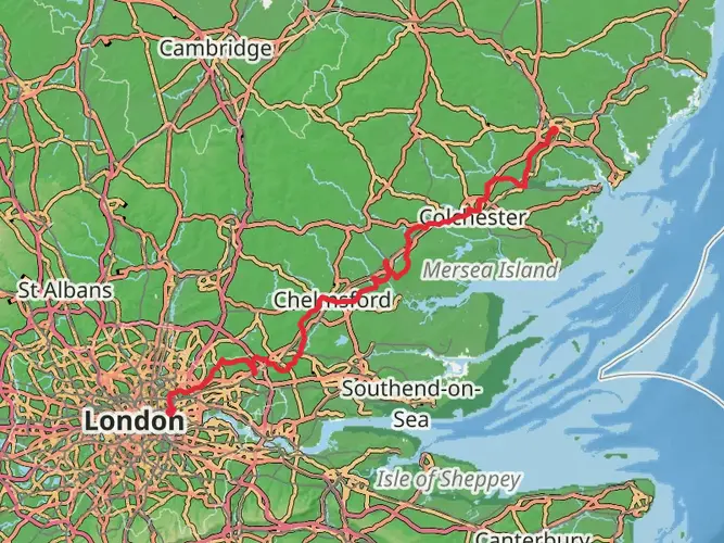
Where do you start and finish the Flatford to Lowestoft Walk, and can the Flatford to Lowestoft Walk be done by train?
The route starts at Flatford in south Suffolk and finishes in Lowestoft on the Suffolk coast. Flatford can be approached from Manningtree station, which the National Trust lists as about 1¾ miles away by footpath, while Lowestoft railway station is in the town center on Denmark Road, making the walk practical as a linear route using rail connections at the end points.
Where can you park for the Flatford to Lowestoft Walk at the Flatford trailhead?
The usual start-point parking for the Flatford to Lowestoft Walk is the National Trust car park at Flatford. The main parking area is about 200 yards from Bridge Cottage, giving a straightforward walk-in to the start near Flatford Mill and the River Stour.
Is the Flatford to Lowestoft Walk dog friendly?
The Flatford end of the Flatford to Lowestoft Walk is dog friendly, with dogs welcome in the outdoor areas at Flatford, but they are expected to stay on a lead because of grazing livestock and ground-nesting birds. On a long coastal route like this, lead requirements can also matter on heathland, nature reserve, and bird-sensitive sections, so dogs are best managed as on-lead for much of the walk.
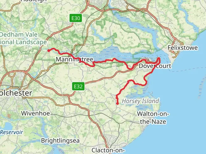
What kind of scenery does the Flatford to Lowestoft Walk pass through?
The Flatford to Lowestoft Walk links the Stour valley around Flatford with the Suffolk coast at Lowestoft, combining inland countryside with long coastal sections. Along the wider Suffolk coast corridor, the route is associated with places such as Aldeburgh, Southwold, Dunwich, Minsmere, and Kessingland, so walkers can expect estuaries, heathland, beaches, marsh, and seaside towns rather than high ground.
What is the best time of year to hike the Flatford to Lowestoft Walk?
Spring through early fall is usually the best window for the Flatford to Lowestoft Walk, when Suffolk’s long-distance paths are generally drier and daylight is better for multi-day stages. Winter is still possible, but low-lying coastal and riverside stretches can be muddier, and exposed sections near places like Dunwich, Southwold, and Lowestoft can feel much tougher in wind and rain.
Comments and Reviews
User comments, reviews and discussions about the Flatford to Lowestoft Walk, England.
average rating out of 5
0 rating(s)