Download
3D Flyover
Add to list
More
202.4 km
11 days
3722 m
Multi Day
“Embark on the historic North Downs Way, a scenic trek through England's rolling hills and ancient landmarks.”
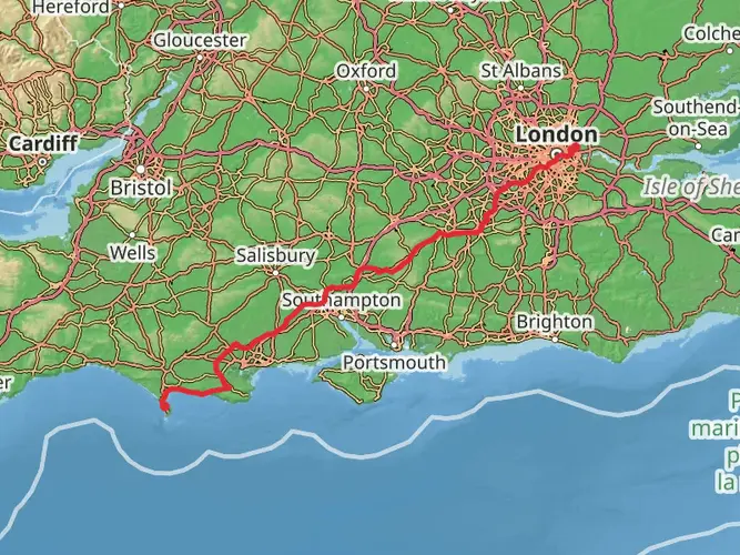
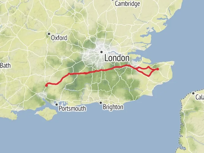
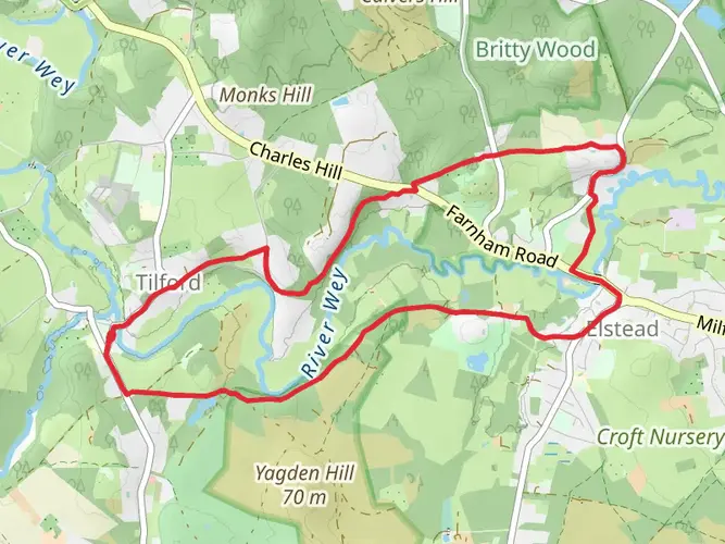
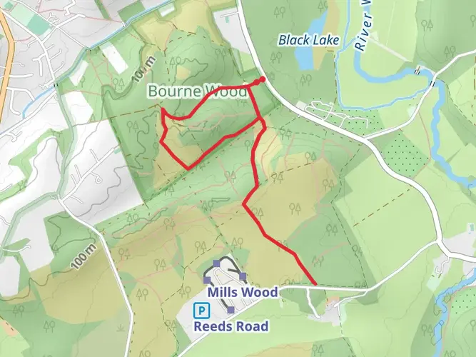
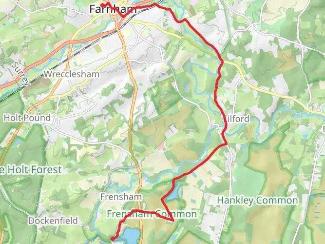
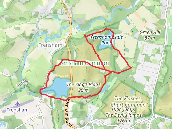
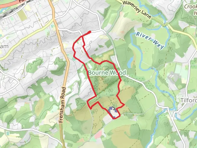
Spanning approximately 204 kilometers (about 127 miles) with an elevation gain of around 2800 meters (approximately 9186 feet), the North Downs Way offers an immersive journey through the picturesque landscapes of Southeast England. This point-to-point trail begins near Farnham in Surrey and concludes at the historic city of Canterbury, weaving through the Surrey Hills and Kent Downs Areas of Outstanding Natural Beauty.
Getting to the Trailhead
The starting point of the North Downs Way is easily accessible from London. Hikers can take a train from London Waterloo to Farnham, which is the nearest station to the trailhead. From Farnham station, it's a short walk or taxi ride to the official start of the trail. For those driving, Farnham offers several car parks where you can leave your vehicle before embarking on your hike.
Navigating the Trail
Hikers can rely on HiiKER for detailed maps and navigation assistance throughout the North Downs Way. The trail is well-marked with acorn symbols indicative of National Trails in England, but having a digital tool like HiiKER can enhance the experience by providing real-time location tracking and additional route information.
Historical Significance and Landmarks
The North Downs Way is steeped in history, following ancient tracks and passing several significant landmarks. One of the early highlights is the Box Hill viewpoint, offering panoramic views over the surrounding countryside. As you progress, you'll encounter the ruins of medieval castles, such as Rochester Castle, and the UNESCO World Heritage Site of Canterbury Cathedral near the trail's end.
The trail also traces part of the Pilgrims' Way, an ancient route taken by pilgrims traveling to the shrine of Thomas Becket in Canterbury. This adds a layer of historical pilgrimage to your journey, allowing you to walk in the footsteps of countless travelers who have traversed this path over the centuries.
Natural Beauty and Wildlife
The North Downs Way traverses a variety of landscapes, from rolling hills and woodlands to chalk grasslands and river valleys. The trail offers opportunities to observe an abundance of wildlife, including various bird species, butterflies, and wildflowers, particularly in the spring and summer months.
Challenging Sections and Elevation
While the overall difficulty of the trail is rated as medium, there are some challenging sections to be aware of. The ascent to the top of Box Hill, for example, includes a series of steep steps known as the "Box Hill Stepping Stones." Additionally, the stretch leading up to the White Cliffs of Dover presents a gradual climb that rewards hikers with iconic views of the English Channel.
Accommodation and Resupply Points
Along the North Downs Way, there are numerous villages and towns that provide accommodation options ranging from campgrounds and hostels to bed and breakfasts and hotels. Resupply points are also available in these settlements, where hikers can stock up on food and other essentials.
Seasonal Considerations
The trail can be hiked year-round, but the best conditions are typically from spring to autumn when the weather is milder and the days are longer. Hikers should be prepared for the changeable British weather and pack accordingly, with waterproof gear being essential.
Conclusion
By preparing for the varying terrain, historical elements, and natural beauty of the North Downs Way, hikers can ensure a memorable and enjoyable experience on one of England's most cherished walking routes.
AI Planner
Days planned around your pace, with somewhere to stay each night.

What to expect?
Activity types
Surfaces
Unknown
Dirt
Asphalt
Ground
Grass
Gravel
Unpaved
Sand
Paved
Concrete
Wood
Comments and Reviews
User comments, reviews and discussions about the North Downs Way, England.
4.68
average rating out of 5
19 rating(s)