Download
Preview
Add to list
More
86.8 km
~5 days
1343 m
Multi-Day
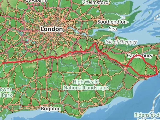
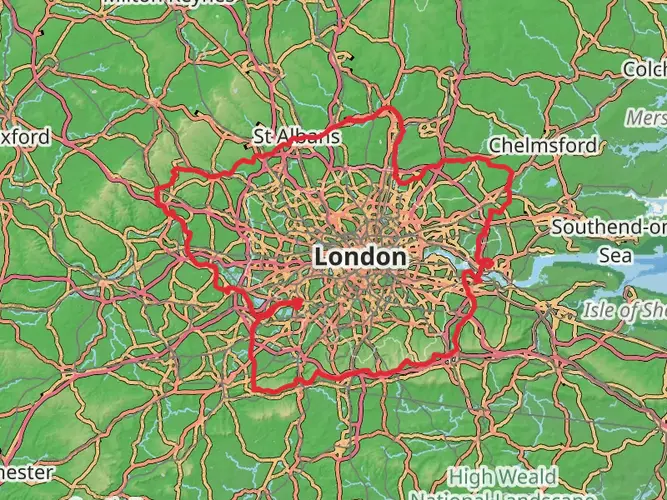
The Tandridge Border Path is a 86.8 km trail that starts in , Surrey, England. Based on our data, the hike is graded as Easy. For information on how we grade trails, please read measuring the difficulty of a hiking trail on hiiker. Also, check our latest community posts for trail updates. This hike can be completed in approx 4 days. Caution is advised on trail times as this depends on multiple variables. For more info read about how we calculate hike time.

What to expect?
Frequently asked questions
How long is the Tandridge Border Path and how many days does the Tandridge Border Path take?
The Tandridge Border Path is 86.79 km long, which is about 53.9 miles. With 1,343 m of total ascent and an easy overall grading, many walkers split it into 3 to 5 days, while strong hikers sometimes cover it in 2 long days or tackle shorter sections from villages and rail stops along the route.
Is the Tandridge Border Path a circular walk or a point-to-point route?
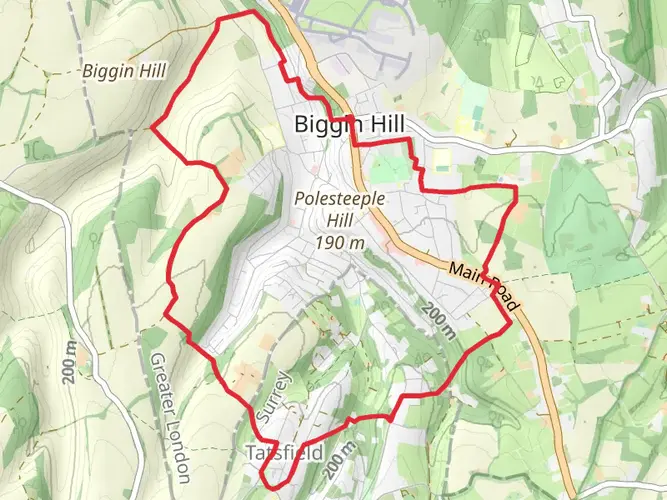
The Tandridge Border Path is a circular long-distance route that follows the boundary of Tandridge District in Surrey as closely as public rights of way allow. Because it forms a loop, it can be started from different access points rather than requiring a one-way shuttle at the end.
Where do most people start the Tandridge Border Path and are there train stations on the route?
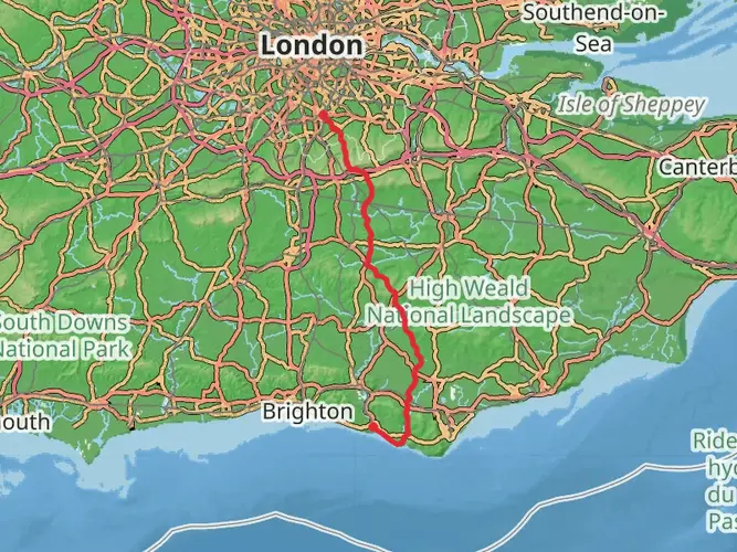
Many walkers break into the Tandridge Border Path using rail-linked points on or near the route, including Dormans Station, South Nutfield, Whyteleafe, and Tatsfield-area access points mentioned in route descriptions. That makes it practical to walk the trail in sections instead of committing to the full 86.79 km in one trip.
What kind of terrain is on the Tandridge Border Path in Surrey?
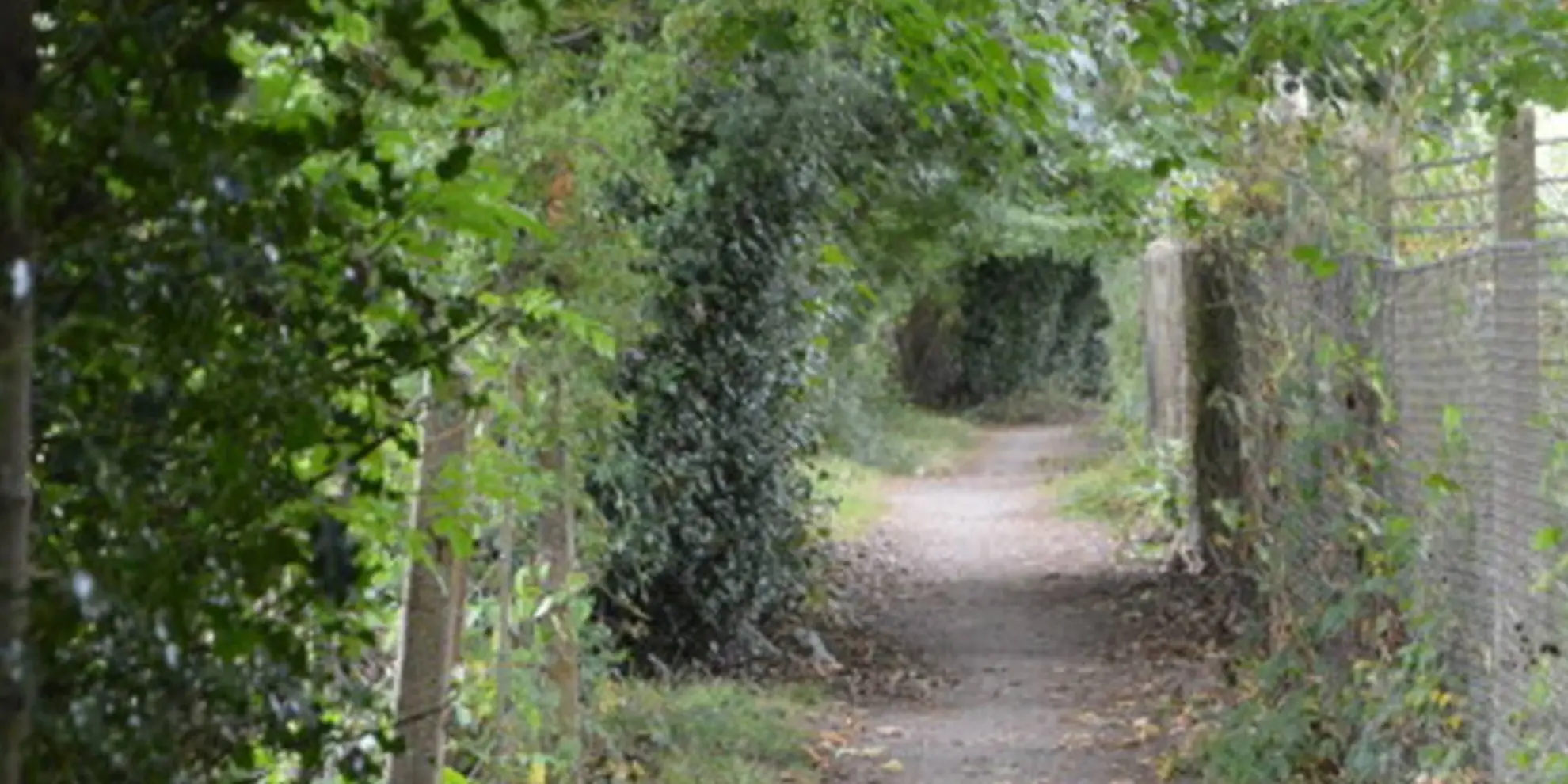
The Tandridge Border Path uses established footpaths and rights of way around east Surrey, passing through a mix of farmland, woodland, commons, marshy ground, and village lanes. Route descriptions mention places such as Hedgecourt Lake, the Greensand Ridge, Nutfield Marsh, Coulsdon Common, and Happy Valley, so conditions can vary from firm tracks to muddier stretches after rain.
Is the Tandridge Border Path difficult?
The Tandridge Border Path is generally considered easy, especially compared with steeper upland multi-day routes. The challenge comes more from its full distance of 86.79 km than from technical ground, although the cumulative 1,343 m of ascent still makes it a substantial walk when completed as a single circuit.
What towns and landmarks does the Tandridge Border Path pass on the way around the district?
The Tandridge Border Path passes through or near a series of east Surrey settlements and landmarks, including Dormansland, Felbridge, Burstow, South Nutfield, Whyteleafe, Tatsfield, Hedgecourt Lake, Nutfield Marsh, Coulsdon Common, and Happy Valley. That variety is part of what gives the route its strong section-walking appeal.
Comments and Reviews
User comments, reviews and discussions about the Tandridge Border Path, England.
5.0
average rating out of 5
1 rating(s)