Search a hike or location
Tameside, England
Download
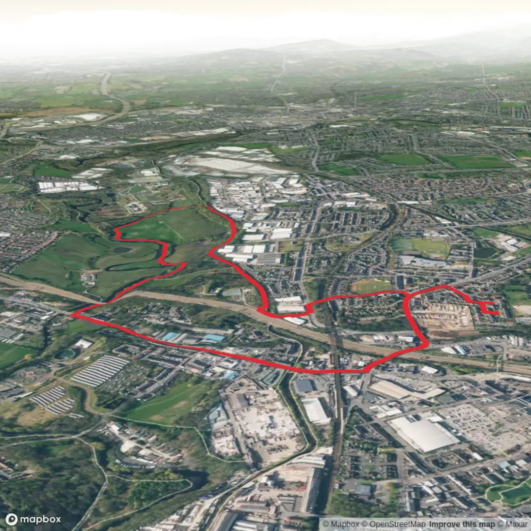
3D Flyover
Add to list
Complete
More
5.0 km
~1 hrs 2 min
19 m
Loop
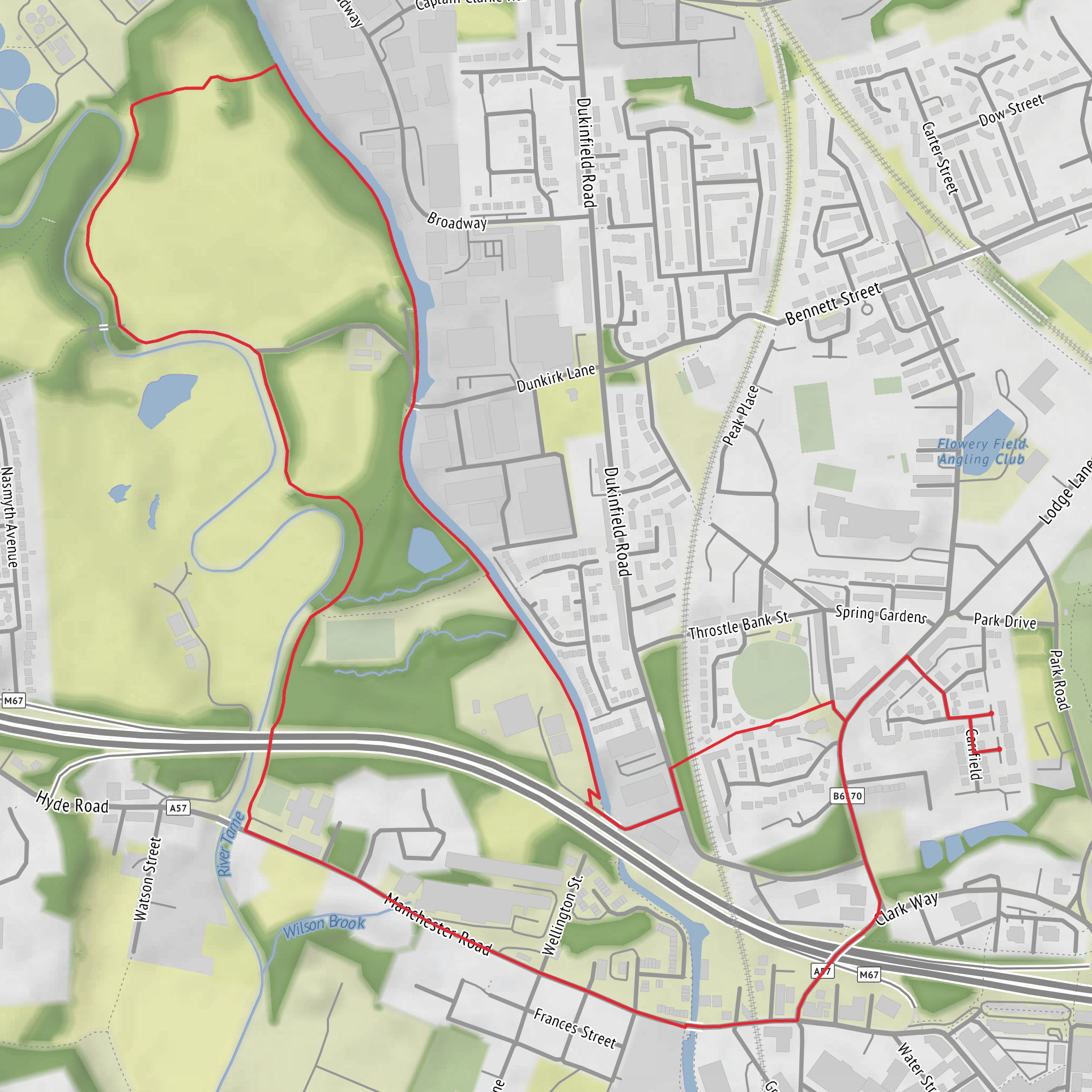
From home to Riverside, along towpath and back along Peak Forest Canal to Aldi and home
Surfaces
Unknown
47% · 2.36km
Gravel
29% · 1.47km
Asphalt
22% · 1.11km
Cobblestone
1.2% · 0.06km
Dirt
0.1% · 0.01km
User comments, reviews and discussions about the River Tame side - PF Canal Loop, England.
5.0 star
average rating out of 5
1 rating(s)
Nearby Hikes
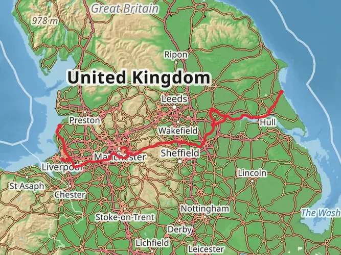
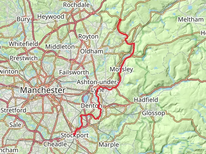
Trans Pennine Trail
East Riding of Yorkshire, England
344.1 km · 1163 m
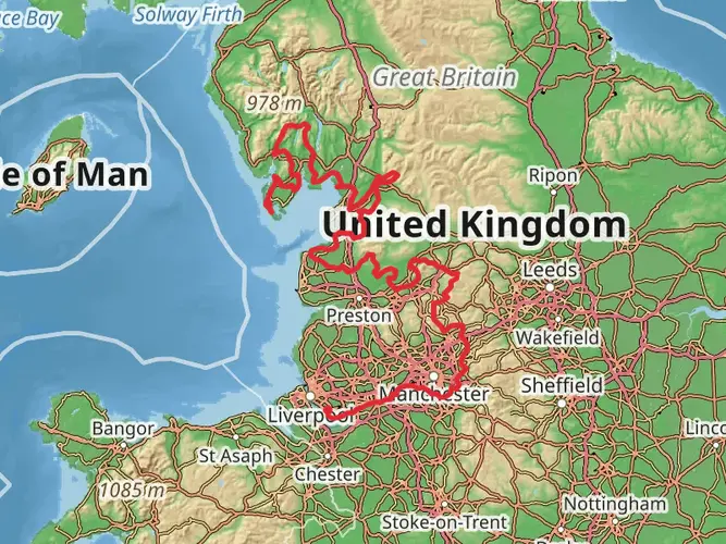
Liverpool South Parkway to Walney Island Walk
Liverpool, England
631.9 km · 12346 m
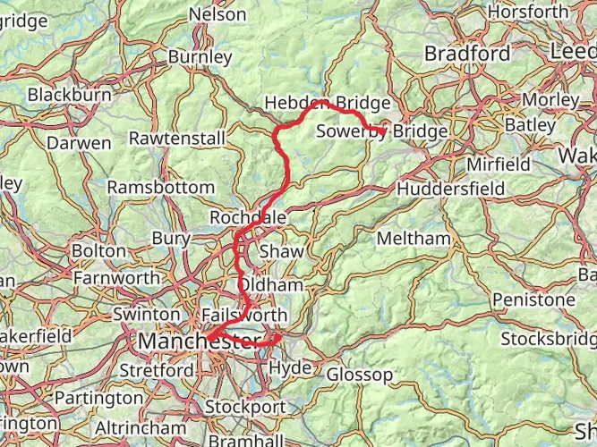
South Pennine Ring
Greater Manchester, England
60.5 km · 549 m
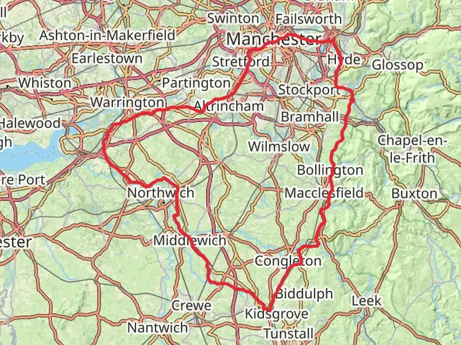
Cheshire Ring Canal Walk
155.7 km · 1104 m
Tame Valley Way
37.8 km · 627 m
Continue in App
Continue in Browser