Search a hike or location
Teignbridge, England
Download
3D Flyover
Add to list
Complete
More
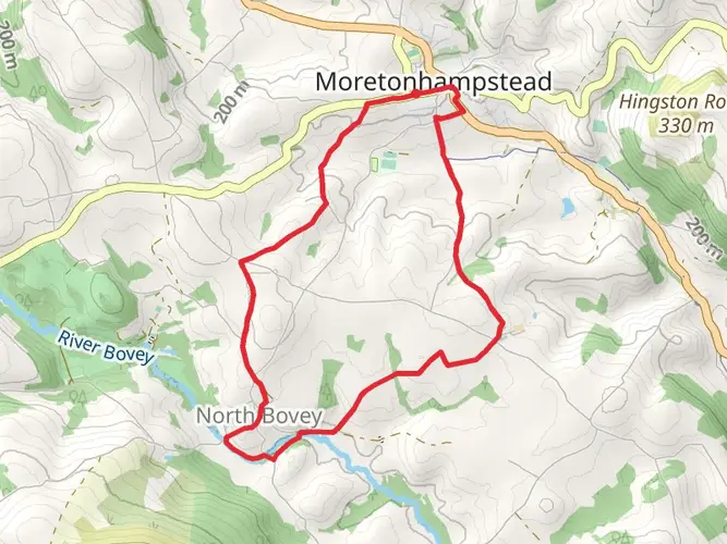
9.1 km
~2 hrs 5 min
157 m
Loop
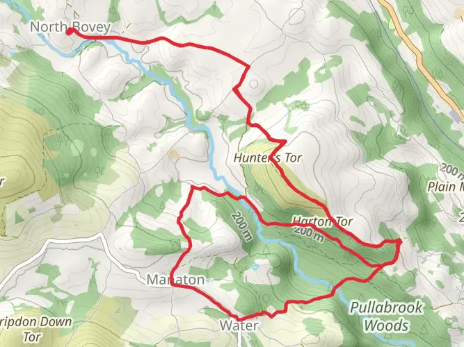
A short walk up to Moreton Hampstead for a drink, then back to North Bovey.
What to expect?
Surfaces
Unknown
81% · 7.39km
Asphalt
13% · 1.17km
Grass
6.1% · 0.56km
Dirt
0.1% · 0.01km
User comments, reviews and discussions about the North Bovey Loop, England.
star
average rating out of 5
0 rating(s)
Nearby Hikes
Dartmoor Ramble
Devon, England
81.9 km · 2187 m
Dartmoor Way
176.5 km · 4547 m
Wray Valley Trail
11.4 km · 58 m
Dartmoor Way - High Moor Link - Alternative
135.1 km · 2370 m
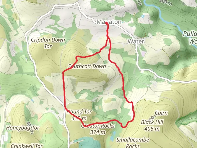
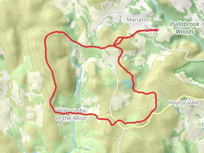
Manaton Loop via North Bovey
17.7 km · 553 m
Hound Tor, Yarner Old Reservoir and Horsham Cleave Loop
20.4 km · 727 m
Becky Falls Loop
11.7 km · 428 m
Mardon Down Walk
7.5 km · 211 m
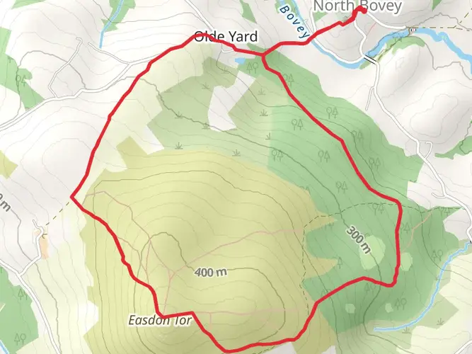
Easdon Hill and Easdon Down Loop
6.5 km · 265 m
Bowerman's Nose Walk
3.1 km · 161 m
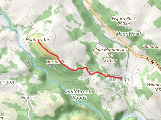
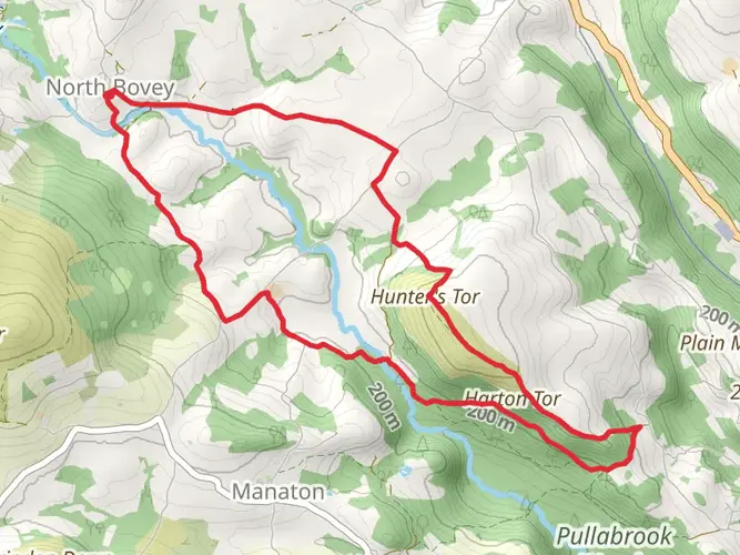
Hunter's Tor Walk
6.4 km · 258 m
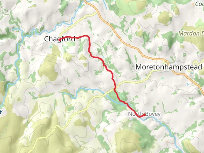
North Bovey to Chagford Walk
7.1 km · 197 m
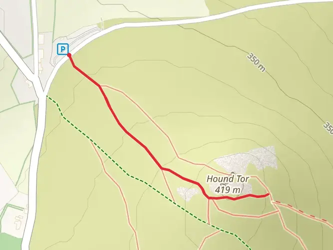
Hound Tor Walk
976 m · 42 m
Moretonhampstead to North Bovey Loop
8.1 km · 168 m
Hound Tor Loop - Manaton
7.8 km · 273 m
Hunter's Tor and Lustleigh Cleave Loop
10.8 km · 299 m
Saddle Tor, Top Tor and Jay's Grave Loop
22.9 km · 796 m
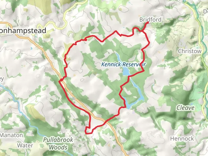
Wray Valley to Bridford Inn
19.2 km · 421 m
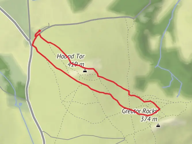
Hound Tor Loop
2.1 km · 83 m
Hound Tor, Haytor Down and Haytor Rocks Loop
11.3 km · 434 m
Continue in App
Continue in Browser
Choose which optional cookies and similar technologies HiiKER can use on this device. Privacy & cookie policy
Sign-in, security, checkout, support chat when you open it, and remembering these choices.
Google Analytics and PostHog (our own EU-hosted analytics) — which pages are visited and how features are used, so we can improve HiiKER.
Google Ads, Meta, Reddit and X pixels and Rewardful referral tracking — they tell those platforms when someone arrives from, or buys after, one of our ads or referrals. Turning this off opts you out of the "sale" or "sharing" of your personal information for targeted advertising.