Download
Preview
Add to list
More
250.8 km
~13 days
4385 m
Multi-Day
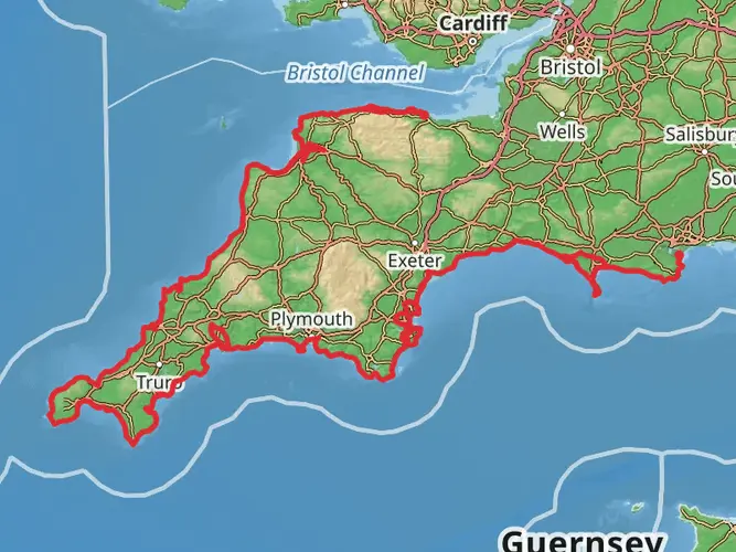
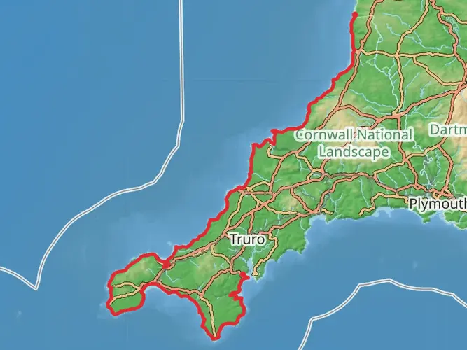
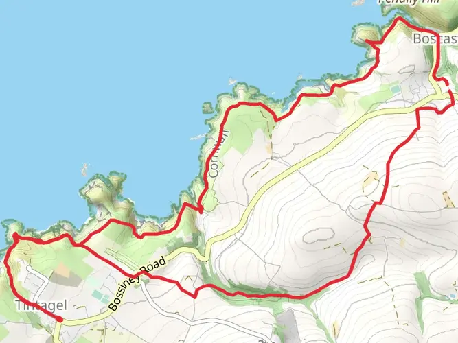
The King Arthur Way is a 250.8 km trail that starts in , Tintagel, England. Based on our data, the hike is graded as Easy. For information on how we grade trails, please read measuring the difficulty of a hiking trail on hiiker. Also, check our latest community posts for trail updates. This hike can be completed in approx 10 days. Caution is advised on trail times as this depends on multiple variables. For more info read about how we calculate hike time.

What to expect?
Activity types
Frequently asked questions
How long is the King Arthur Way in Tintagel, and how many days does it usually take to hike?
The King Arthur Way is 250.76 km long with 4,385 m of total elevation gain, so it sits firmly in long-distance, multi-day territory rather than as a day hike. A typical thru-hike pace would split that distance across roughly 10 to 14 walking days, depending on daily mileage, weather, and how much time is spent in Tintagel and other stops along the route.
Is the King Arthur Way in Tintagel a difficult long-distance walk?
The King Arthur Way is graded Easy overall, which suggests the route is more about sustained distance than technical ground. Even so, 250.76 km and 4,385 m of climbing add up over several days, so the challenge comes from endurance, recovery, and carrying gear rather than steep mountain terrain or scrambling.
What kind of route is the King Arthur Way in Tintagel: circular, point-to-point, or multi-day?
The King Arthur Way is a multi_day route, so it is designed as a long-distance journey rather than a short local loop. That matters for planning because transport, overnight stops, and food resupply are part of the hike, especially with a total distance of 250.76 km.
Where does the King Arthur Way start in Tintagel?
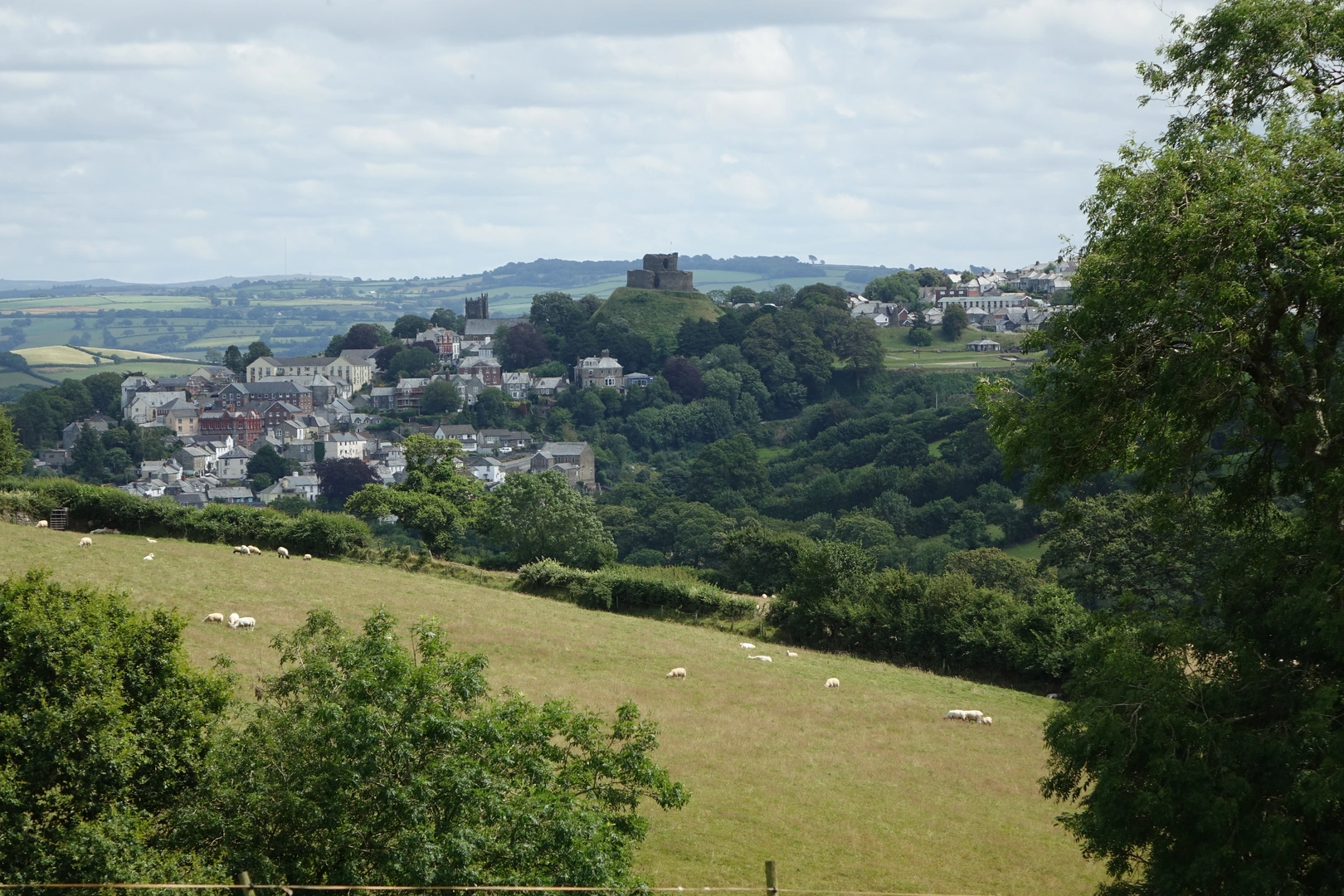
The King Arthur Way is based in Tintagel, England, so Tintagel is the key trail location for the route. In practical terms, that makes Tintagel the place to focus on for arrival planning, first-night lodging, and any pre-hike logistics before setting out on this 250.76 km long-distance walk.
How much climbing is on the King Arthur Way in Tintagel?
The King Arthur Way has 4,385 m of total elevation gain across its 250.76 km length. Spread over a multi-day itinerary, that means the climbing is steady rather than extreme on any single day, but the cumulative ascent is still significant enough to matter for pacing and leg fatigue.
Is the King Arthur Way in Tintagel suitable for beginner long-distance hikers?
The Easy rating makes the King Arthur Way one of the more approachable long-distance options on paper, especially for hikers who want to avoid highly technical terrain. The main consideration is its scale: 250.76 km with 4,385 m of ascent requires solid fitness, time for a multi-day schedule, and comfort with back-to-back walking days.
Comments and Reviews
User comments, reviews and discussions about the King Arthur Way, England.
5.0
average rating out of 5
1 rating(s)