Download
Preview
Add to list
More
555.4 km
~28 days
7362 m
Multi-Day
“Embark on the historic and scenic Orange Way, a medium-difficulty trek through England's diverse landscapes and past.”
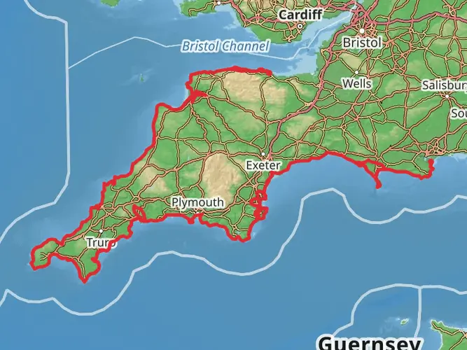
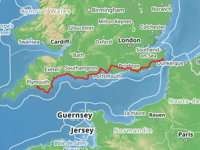
The Orange Way is an extensive point-to-point trail that spans approximately 555 kilometers (345 miles), with an elevation gain of around 7300 meters (almost 24,000 feet). This trail begins near the coastal town of Torbay, England, and offers a medium difficulty rating, making it accessible to hikers with a moderate level of experience.
Getting to the Trailhead
To reach the starting point of the Orange Way near Torbay, hikers can utilize public transportation options such as buses or trains that service the area. For those driving, parking is available near the trailhead. It's advisable to use the HiiKER app to navigate to the exact starting location, as it will provide the most accurate directions and any updates on trail conditions or closures.
Trail Overview
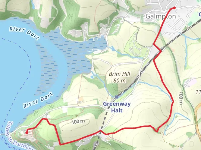
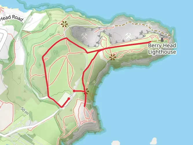
As you embark on the Orange Way, you'll traverse a variety of landscapes, including rolling hills, dense woodlands, and open moorlands. The trail is well-marked, but carrying a map or using the HiiKER app for navigation is recommended to keep track of your progress and ensure you're on the right path.
Historical Significance and Landmarks
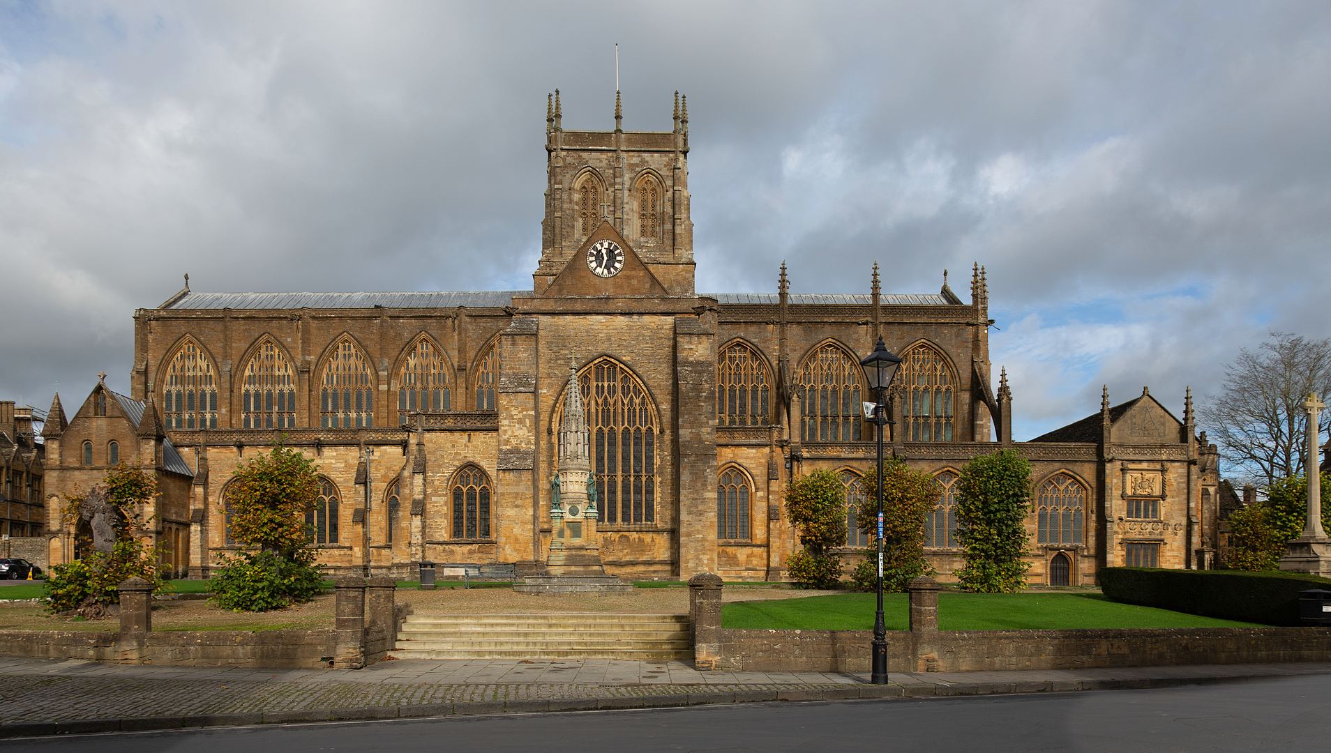
The region through which the Orange Way passes is steeped in history. Hikers will encounter numerous landmarks, including ancient ruins, historic villages, and castles that date back centuries. Notable points of interest include the ruins of a Roman fort, medieval churches, and stately homes that offer a glimpse into the area's rich past.
Flora and Fauna
Nature enthusiasts will appreciate the diverse wildlife and plant species found along the trail. The area is home to a variety of birds, including birds of prey, which can often be spotted soaring above the tree line. The trail also winds through areas of outstanding natural beauty, where wildflowers bloom in the spring and summer months, adding a splash of color to the landscape.
Terrain and Elevation
The Orange Way's terrain is varied, with some sections featuring steep climbs and descents. The elevation gain is significant, but it's spread out over the length of the trail, allowing hikers to adjust to the changes gradually. Proper footwear and trekking poles may be beneficial for the more challenging sections.
Preparation and Planning
Given the trail's length, hikers should plan for multiple days of trekking and consider the logistics of accommodation or camping along the route. It's essential to carry sufficient water and food supplies, as well as a first-aid kit and emergency shelter. Weather conditions can change rapidly, so be prepared with appropriate clothing and gear for rain, wind, and potentially cold temperatures, especially at higher elevations.
Conclusion
The Orange Way offers a rewarding experience for those looking to immerse themselves in the natural beauty and historical richness of this part of England. With careful planning and preparation, hikers can enjoy a memorable adventure along this scenic trail.

What to expect?
Activity types
Frequently asked questions
How long does it take to hike the Orange Way from Torbay to London?
The Orange Way is about 555.41 km, or roughly 345 miles, so it is a true multi-day route rather than a weekend walk. At a steady long-distance pace of 20 to 30 km per day, most hikers would need around 19 to 28 walking days, with extra time for rest days, transfers, and overnight logistics.
Where does the Orange Way start near Torbay, and what is the first stage like?
The Orange Way starts in the Torbay area, with a listed starting point at TQ5 8AJ near Brixham. The first published stage is about 16.7 km, making it a manageable opening day for hikers who want to begin the route without committing to a very long first leg.
Is the Orange Way a difficult long-distance hike or is the Orange Way suitable for beginners?
The Orange Way is graded easy overall, which makes it more approachable than many long-distance trails of similar length. The main challenge is not technical terrain but the scale of the route itself: 555.41 km in total with about 7,362 meters of cumulative ascent, so fitness, pacing, and planning still matter.
How much elevation gain is on the Orange Way hike?
The Orange Way has around 7,362 meters of total elevation gain across the full route. Spread over 555.41 km, that points to a route with regular climbs rather than sustained mountain ascents, which helps explain why it is still classed as easy despite its overall length.
What is the Orange Way in England and why is it called the Orange Way?
The Orange Way is a long-distance walking route in England that traces the 1688 march of William of Orange from Brixham in Devon toward London. That historical link is where the trail gets its name, so the route combines a major end-to-end walk with a specific historical storyline.
Can the Orange Way be walked in sections instead of as one continuous thru-hike?
Yes. Because the Orange Way is a point-to-point trail of more than 555 km, it is well suited to section hiking as well as a full thru-hike. Many walkers break routes of this length into shorter trips, and the published stage structure beginning with a 16.7 km first stage supports that kind of planning.
Comments and Reviews
User comments, reviews and discussions about the Orange Way, England.
5.0
average rating out of 5
7 rating(s)