Download
Preview
Add to list
More
71.3 km
~4 days
736 m
Multi-Day
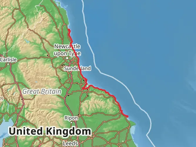
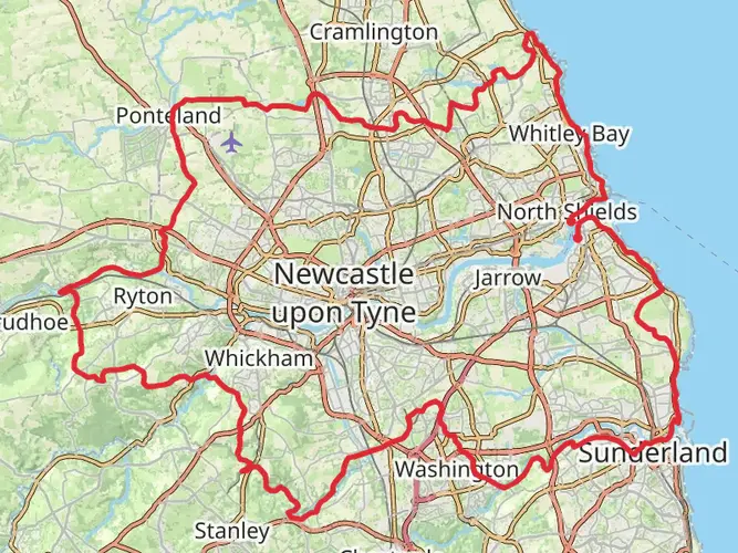
The England Coast Path - South Bents to Amble is a 71.3 km trail that starts in South Tyneside, Tyne and Wear, England. Based on our data, the hike is graded as Easy. For information on how we grade trails, please read measuring the difficulty of a hiking trail on hiiker. Also, check our latest community posts for trail updates. This hike can be completed in approx 3 days. Caution is advised on trail times as this depends on multiple variables. For more info read about how we calculate hike time.

What to expect?
Frequently asked questions
How long is the England Coast Path - South Bents to Amble and how many days does it take?
The England Coast Path - South Bents to Amble is 71.31 km long, or about 44 miles, with 736 m of total ascent. Most walkers split it over 2 to 4 days depending on pace, stops, and overnight plans, although strong walkers can cover shorter coastal sections as day hikes.
Is the England Coast Path - South Bents to Amble difficult?
The England Coast Path - South Bents to Amble is generally rated easy, which fits its mostly coastal terrain and moderate total elevation gain of 736 m over 71.31 km. The challenge is more about distance and the point-to-point logistics than steep climbing, so it suits steady multi-day walking.
Is the England Coast Path - South Bents to Amble open to the public?
Yes. The South Bents to Amble stretch is open to the public, and coastal access rights came into force on July 26, 2018. Natural England describes it as a 44 mile, or roughly 71 km, section of the England Coast Path linking South Bents in South Tyneside with Amble in Northumberland.
What landmarks does the England Coast Path - South Bents to Amble pass on the way north?
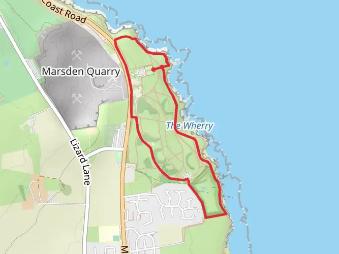
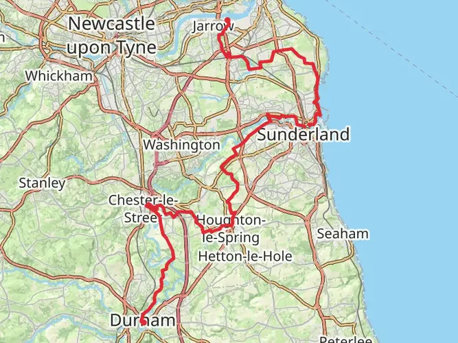
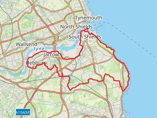
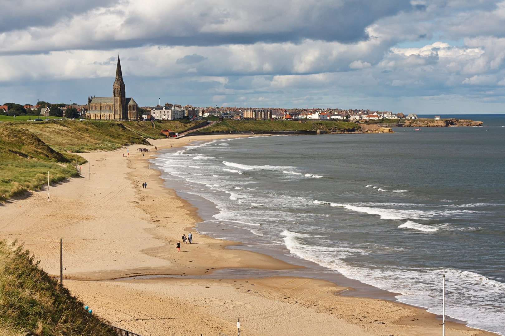
The England Coast Path - South Bents to Amble follows the North East coast past places including South Shields, the River Tyne crossing, Tynemouth Priory and Castle, Whitley Bay, St Mary’s Lighthouse, Blyth, and the coast toward Amble. Natural England also identifies the Tyne, Blyth, and Wansbeck estuaries as key route features on this stretch.
Do you need a ferry on the England Coast Path - South Bents to Amble?
Yes, the route uses the Shields Ferry to cross the River Tyne between South Shields and North Shields. Natural England notes that the ferry connects the two communities with a crossing time of about seven minutes, which makes it an important link on this point-to-point coastal walk.
Can the England Coast Path - South Bents to Amble be reached by public transport?
Yes. South Bents sits near the South Shields end of the route, and Amble is served by local bus links, so the walk can be done without a car if the transfers are planned carefully. Public transport is especially useful on this route because it is point-to-point rather than a loop.
Comments and Reviews
User comments, reviews and discussions about the England Coast Path - South Bents to Amble, England.
average rating out of 5
0 rating(s)