Download
3D Flyover
Add to list
More
127.8 km
~5 days
2244 m
Multi-Day
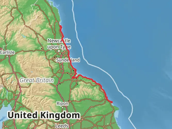
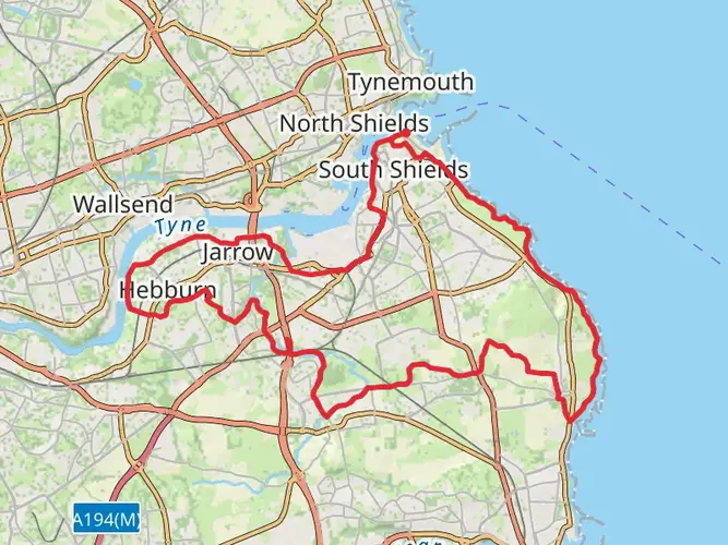
The Weardale Way is a 127.8 km trail that starts in Sunderland, Tyne and Wear, England. Based on our data, the hike is graded as Easy. For information on how we grade trails, please read measuring the difficulty of a hiking trail on hiiker. Also, check our latest community posts for trail updates. This hike can be completed in approx 5 days. Caution is advised on trail times as this depends on multiple variables. For more info read about how we calculate hike time.

What to expect?
Activity types
Frequently asked questions
How long is the Weardale Way and how many days does the Weardale Way usually take?
The Weardale Way is 127.75 km long with 2,244 m of total ascent, so it is firmly a multi-day walk rather than a single-day outing. Most hikers split it into about 5 to 8 days depending on pace, daily mileage, and whether they stop in places such as Durham, Bishop Auckland, Wolsingham, or Stanhope.
Where does the Weardale Way start and finish?
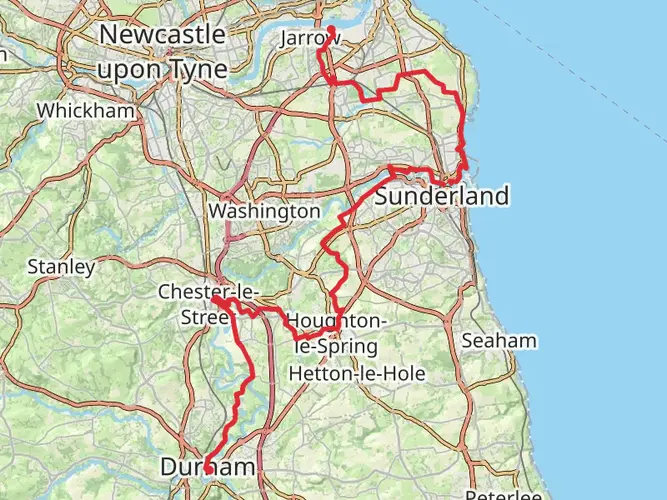
The Weardale Way runs from the coast at Roker in Sunderland to Killhope Lead Mining Museum in Upper Weardale. The route follows the River Wear inland, passing through major waypoints including Durham, Bishop Auckland, Wolsingham, and Stanhope before reaching the high dale near Cowshill and Killhope.
Is the Weardale Way an easy walk or is the Weardale Way hard?
The Weardale Way is generally graded easy, but that does not mean it is short. The route covers 127.75 km with 2,244 m of climbing, so the challenge comes more from the overall distance and the demands of walking it over several days than from steep mountain terrain.
Can the Weardale Way be walked using public transport?
Yes. The eastern end is in Sunderland, and the western end is at Killhope Lead Mining Museum near Cowshill, with bus links in Upper Weardale including services between Stanhope and Killhope. The route also passes through larger places such as Durham and Bishop Auckland, which makes it one of the more practical long-distance walks in northern England for point-to-point travel.
What towns and landmarks does the Weardale Way pass through?
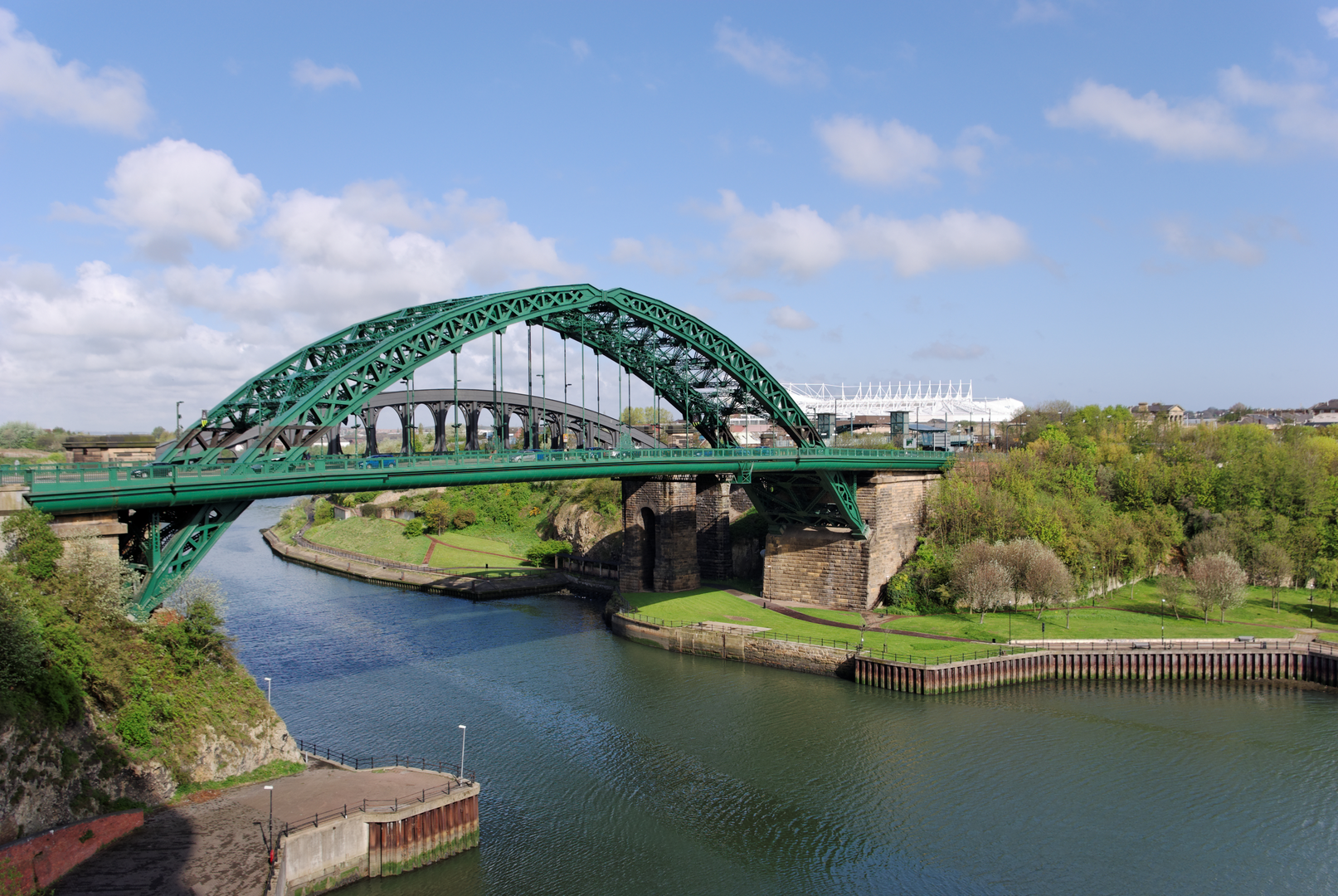
The Weardale Way follows the River Wear from Roker through Sunderland and then inland past Penshaw Monument, Lumley Castle, Finchale Priory, Durham, Bishop Auckland, Wolsingham, Stanhope, Rookhope, Westgate, Wearhead, and Cowshill before finishing at Killhope. That mix of city heritage, riverside walking, and upper-dale scenery is one of the route's defining features.
Is there parking at the start or finish of the Weardale Way?
Parking is available at the Killhope end near Killhope Lead Mining Museum, which is a well-known finish point for the route in Upper Weardale. At the Sunderland end, the walk begins at Roker on the coast, where urban parking is generally easier to find than at remote upland trailheads, though exact spaces can vary by day and season.
Comments and Reviews
User comments, reviews and discussions about the Weardale Way, England.
5.0
average rating out of 5
5 rating(s)