Search a hike or location
Tyne and Wear, England
Download
3D Flyover
Add to list
Complete
More
11.6 km
~3 hrs
50 m
Loop
Free car parking.
What to expect?
User comments, reviews and discussions about the Whitley Bay - Earsdon Circular, England.
star
average rating out of 5
0 rating(s)
Nearby Hikes
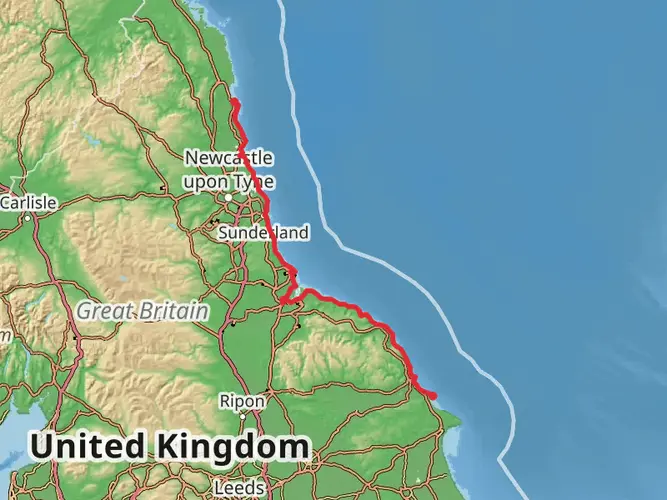
England Coast Paths - Northeast
North Yorkshire, England
251.0 km · 1898 m
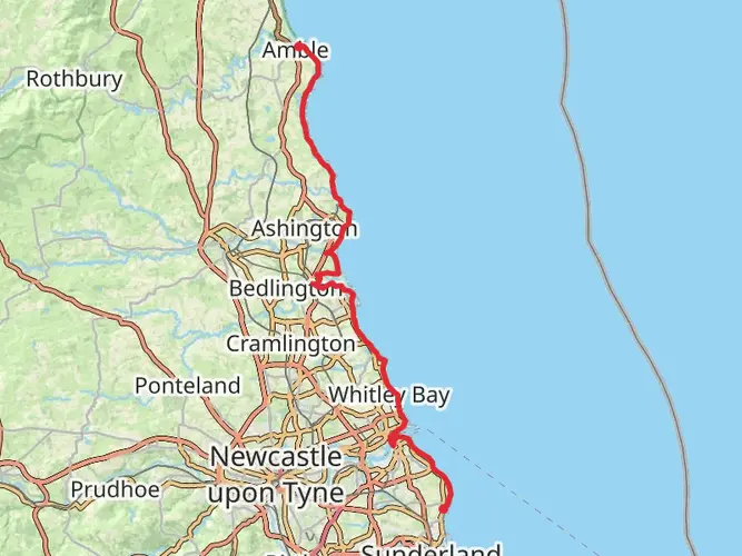
England Coast Path - South Bents to Amble
71.3 km · 736 m
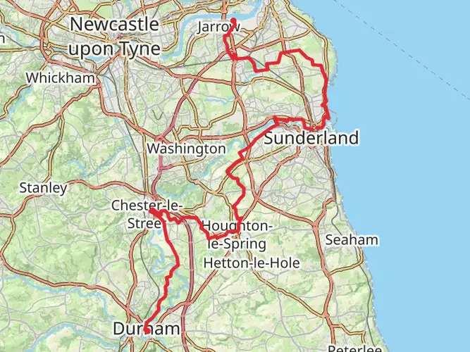
Way of Learning
Jarrow, England
61.0 km · 684 m
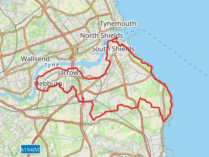
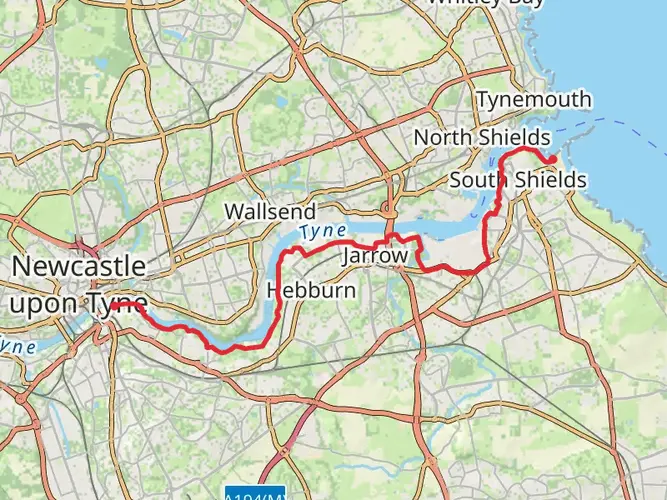
River Tyne South Alternative via River Tyne Trail
20.4 km · 272 m
South Tyneside Heritage Trail
43.1 km · 448 m
Tynemouth to Tynehead via South Tyne Trail
136.0 km · 2638 m
Tyne and Wear Heritage Way
130.7 km · 1789 m
Bede's Way
20.3 km · 207 m
Tynemouth and North Shields
North Tyneside, England
5.2 km · 70 m
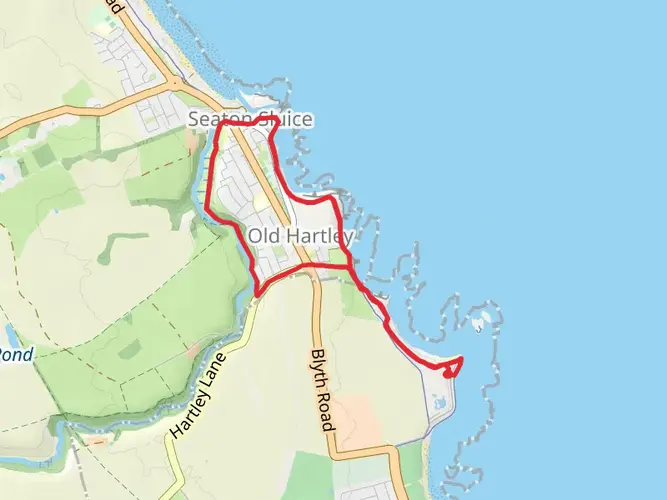
Seaton Sluice Harbour Walk
6.2 km · 81 m
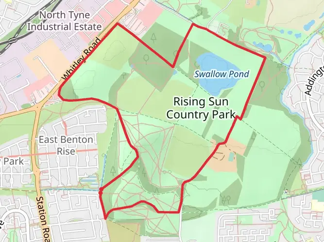
Rising Sun Country Park Loop
5.2 km · 49 m
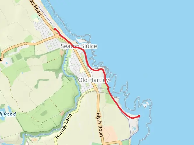
Seaton Sluice Walk
Northumberland, England
3.2 km · 41 m
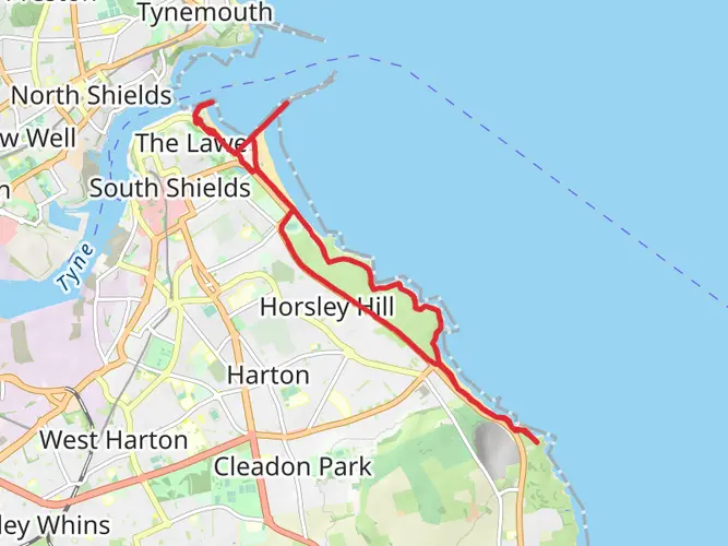
South Shields Walk
15.4 km · 198 m
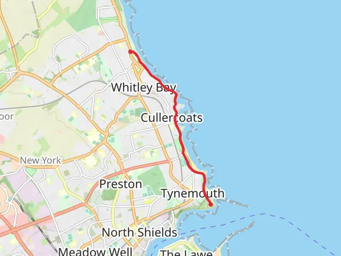
Whitley Bay to Tynemouth Walk
5.0 km · 67 m
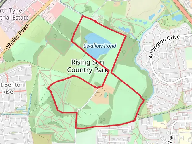
Rising Sun Country Park and Swallow Pond Loop
4.9 km · 48 m
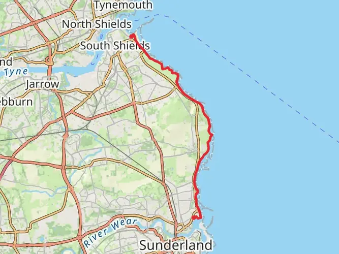
Sandhaven Beach to Sunderland Marina Walk
13.6 km · 131 m
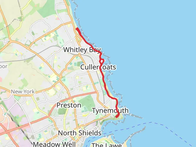
Whitley Links, Long sands and Whitley Bay
10.2 km · 112 m
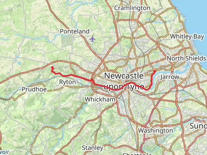
Wallsend to Heddon on the Wall Walk
23.8 km · 320 m
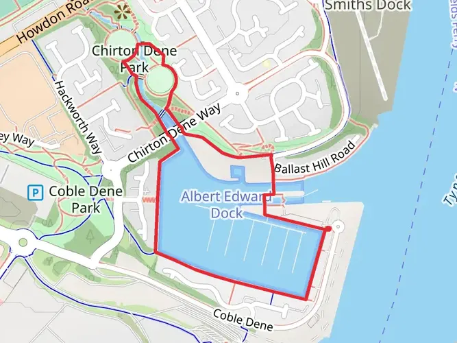
Albert Edward Dock and Chirton Dene Park Loop
2.0 km · 27 m
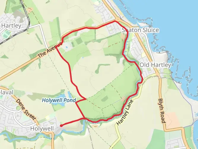
Seaton Sluice Loop
8.3 km · 51 m
Continue in App
Continue in Browser
Choose which optional cookies and similar technologies HiiKER can use on this device. Privacy & cookie policy
Sign-in, security, checkout, support chat when you open it, and remembering these choices.
Google Analytics and PostHog (our own EU-hosted analytics) — which pages are visited and how features are used, so we can improve HiiKER.
Google Ads, Meta, Reddit and X pixels and Rewardful referral tracking — they tell those platforms when someone arrives from, or buys after, one of our ads or referrals. Turning this off opts you out of the "sale" or "sharing" of your personal information for targeted advertising.