Download
Preview
Add to list
More
231.3 km
~12 days
2844 m
Multi-Day
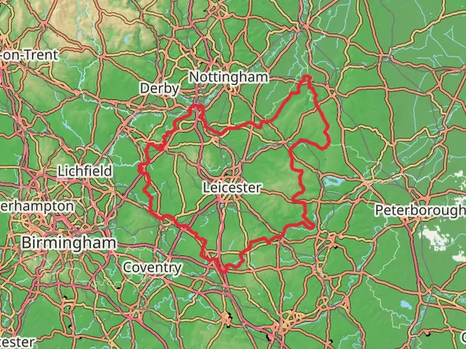
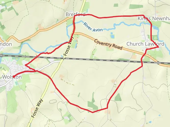
The Church2church Walks in Warwickshire is a 231.3 km trail that starts in , Warwickshire, England. Based on our data, the hike is graded as Easy. For information on how we grade trails, please read measuring the difficulty of a hiking trail on hiiker. Also, check our latest community posts for trail updates. This hike can be completed in approx 9 days. Caution is advised on trail times as this depends on multiple variables. For more info read about how we calculate hike time.

What to expect?
Frequently asked questions
How long does it take to hike the Church2church Walks in Warwickshire?
Church2church Walks in Warwickshire is 231.29 km, or about 156 miles, so it is usually treated as a multi-day route rather than a single outing. The linked church-to-church sections are short, often around 1 to 6 miles at a time, with examples such as Rugby to Dunchurch at 3.7 miles and Clifford Chambers to Stratford-upon-Avon at 4.2 miles, which makes it easy to break into manageable days.
Where does the Church2church Walks in Warwickshire start and finish?
The route begins at St. Andrew’s Church in Rugby and then works south through a long chain of Warwickshire villages and churches. The published walk list starts with Rugby to Dunchurch and continues through places including Napton on the Hill, Stratford-upon-Avon, Alcester, Studley, and Henley-in-Arden, so the walk is best understood as a long south Warwickshire church-to-church journey rather than a simple out-and-back.
Is the Church2church Walks in Warwickshire difficult?
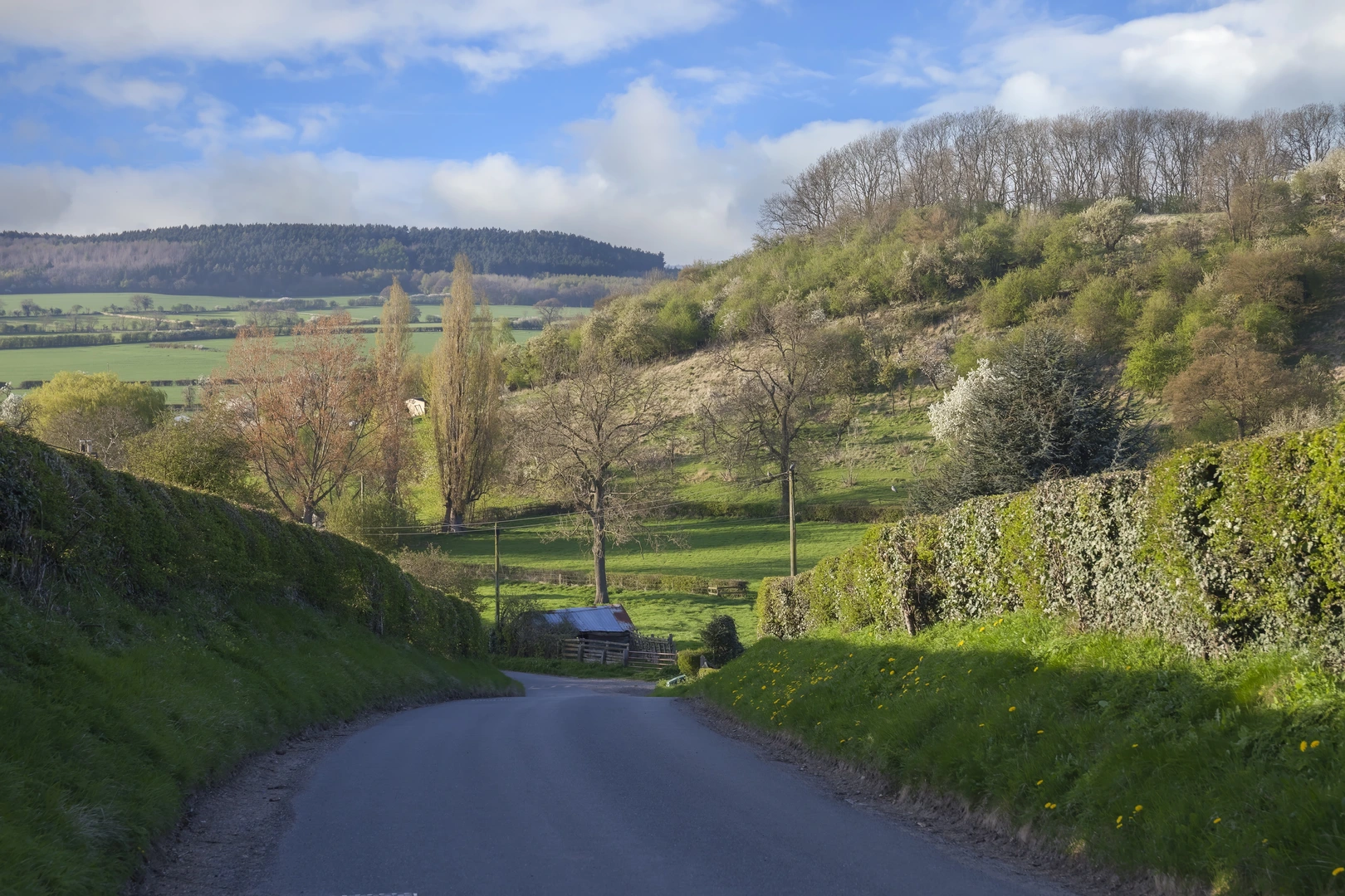
Church2church Walks in Warwickshire is rated easy, with 2,844 m of total elevation gain spread across 231.29 km. That points to generally moderate gradients over a long distance, although a few local sections are steeper, including access into some churchyards such as Burton Dassett, where there are long steep steps from the village side.
Can the Church2church Walks in Warwickshire be done in short sections?
Yes. One of the defining features of Church2church Walks in Warwickshire is that it is divided into many short church-to-church legs, so it works well for section hiking. Early examples include Dunchurch to Thurlaston at 2.0 miles, Flecknoe to Lower Shuckburgh at 1.8 miles, and Sutton under Brailes to Cherington at 1.0 mile, while longer stretches such as Stretton on Fosse to Ilmington reach 5.5 miles.
What towns and villages does the Church2church Walks in Warwickshire pass through?
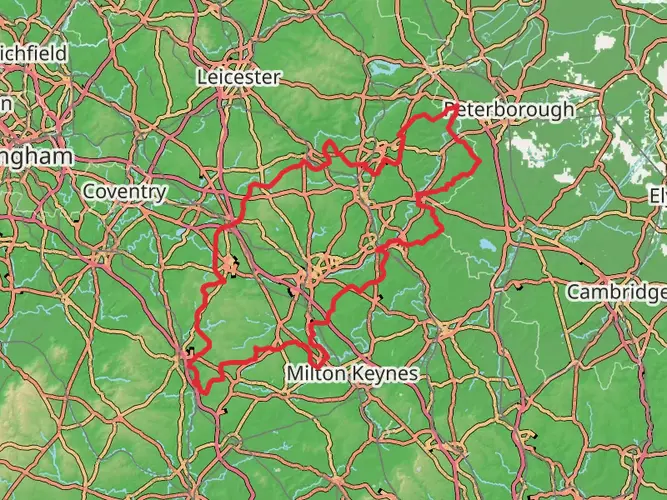
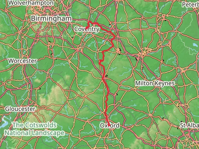
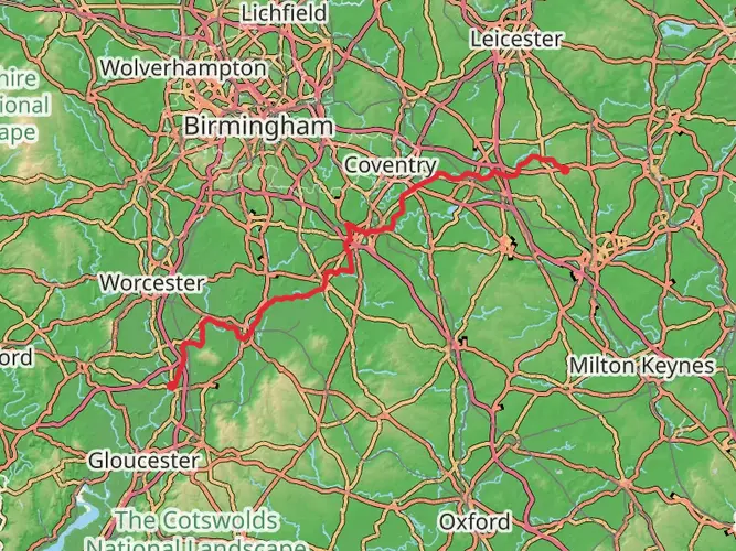
Church2church Walks in Warwickshire crosses a wide spread of south Warwickshire settlements. Named places on the route include Rugby, Dunchurch, Napton on the Hill, Fenny Compton, Burton Dassett, Warmington, Radway, Long Compton, Shipston-on-Stour, Ilmington, Stratford-upon-Avon, Alcester, Studley, and Henley-in-Arden.
Is there parking for the Church2church Walks in Warwickshire?
Parking depends on which section is being walked, because Church2church Walks in Warwickshire uses many village and town starts rather than one main trailhead. Published route notes mention limited parking around The Green and in The Square at Dunchurch, limited parking by Willoughby Village Hall, visitor parking near Holy Trinity in Stratford-upon-Avon, and parking at some churches or pubs on certain sections, so parking is available in places but not uniformly large or dedicated.
Is the Church2church Walks in Warwickshire good for a gentle multi-day walk?
Yes. The route is long at 231.29 km but the easy rating and short stage structure make Church2church Walks in Warwickshire well suited to a gentle multi-day itinerary. Many legs link neighboring villages and churches only a few miles apart, which allows flexible day planning through places such as Rugby, Dunchurch, Lower Shuckburgh, Stratford-upon-Avon, and Henley-in-Arden.
Comments and Reviews
User comments, reviews and discussions about the Church2church Walks in Warwickshire, England.
4.0
average rating out of 5
1 rating(s)