Download
Preview
Add to list
More
29.7 km
~2 days
431 m
Multi-Day
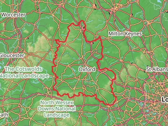
The Battlefields Trail is a 29.7 km trail that starts in , West Northamptonshire, England. Based on our data, the hike is graded as Easy. For information on how we grade trails, please read measuring the difficulty of a hiking trail on hiiker. Also, check our latest community posts for trail updates. This hike can be completed in approx 6 hrs 40 mins. Caution is advised on trail times as this depends on multiple variables. For more info read about how we calculate hike time.

What to expect?
Activity types
Frequently asked questions
How long is the Battlefields Trail in West Northamptonshire and how many days does it take?
The Battlefields Trail is 29.7 km long with 431 m of total elevation gain, so it fits well as a long day hike for strong walkers or an easy two-day outing. Its multi-day classification reflects the point-to-point nature of the route rather than extreme difficulty, and the overall rating is easy.
What battle sites does the Battlefields Trail connect from West Northamptonshire?
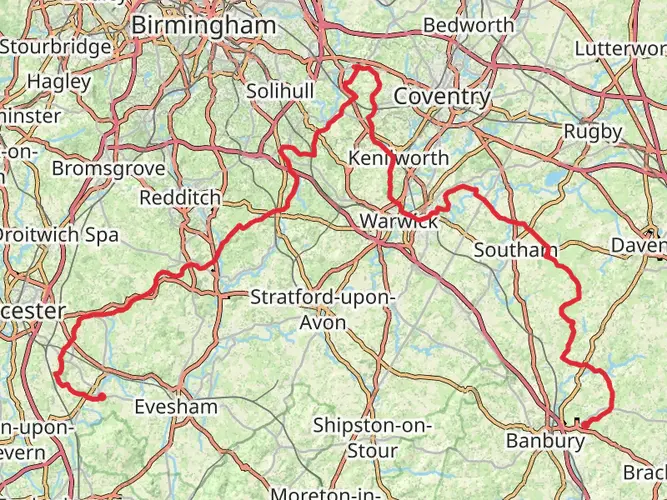
The Battlefields Trail links three historic battlefields: Edgcote in Northamptonshire, Cropredy Bridge in Oxfordshire, and Edgehill in Warwickshire. The long-distance route begins at Chipping Warden in Northamptonshire and finishes at Kineton, creating a walk that combines countryside footpaths with major English Civil War and Wars of the Roses history.
Is the Battlefields Trail easy or suitable for beginner hikers?
The Battlefields Trail is rated easy, with 29.7 km of distance and 431 m of ascent spread across rolling countryside rather than sustained mountain climbing. That makes it a realistic option for beginners with decent fitness, especially when split over two days, though the full route is still a substantial walk because it is nearly 30 km long.
Where does the Battlefields Trail start and finish?
The Battlefields Trail starts at Chipping Warden in Northamptonshire and ends at Kineton in Warwickshire. It is a point-to-point route rather than a loop, so transport planning matters more than on a circular walk, especially for anyone dividing the trail into separate stages.
Are dogs allowed on the Battlefields Trail in West Northamptonshire?
Dogs can generally be walked on countryside rights of way along the Battlefields Trail, but local rules in West Northamptonshire require owners to clean up after them and to keep dogs on a lead in certain places such as car parks, cemeteries, memorial gardens, and if directed by an authorized officer. Because the trail crosses farmland and historic sites, close control is sensible throughout.
What is the terrain like on the Battlefields Trail?
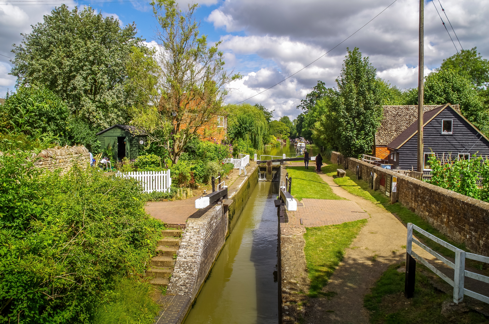
The Battlefields Trail runs through rolling central England countryside and is waymarked along its length. Although the overall hike is rated easy, one of the linked battlefield walks at Edgehill includes a steep 100 m descent and climb on the scarp, so the route is better described as gently undulating with a few sharper sections rather than completely flat.
Comments and Reviews
User comments, reviews and discussions about the Battlefields Trail, England.
average rating out of 5
0 rating(s)