Download
Preview
Add to list
More
227.5 km
~12 days
3213 m
Multi-Day
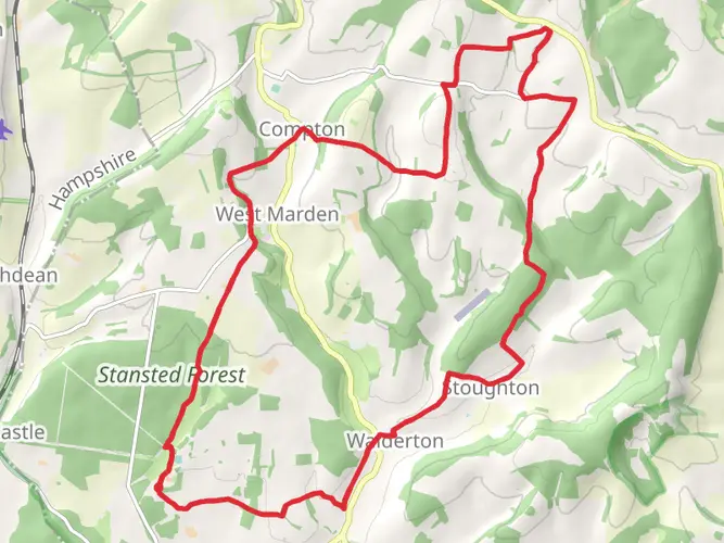
The Sussex Border Path is a 227.5 km trail that starts in Chichester, West Sussex, England. Based on our data, the hike is graded as Easy. For information on how we grade trails, please read measuring the difficulty of a hiking trail on hiiker. Also, check our latest community posts for trail updates. This hike can be completed in approx 9 days. Caution is advised on trail times as this depends on multiple variables. For more info read about how we calculate hike time.

What to expect?
Activity types
Frequently asked questions
How long is the Sussex Border Path and how many days does it usually take to walk?
The Sussex Border Path is 227.49 km long with 3,213 m of total ascent, so it is firmly a multi-day route rather than a single long day hike. Most walkers break it into roughly 10 to 14 days, depending on daily mileage, lodging plans, and whether they also include the waymarked Mid Sussex Link section.
Where does the Sussex Border Path start and finish?
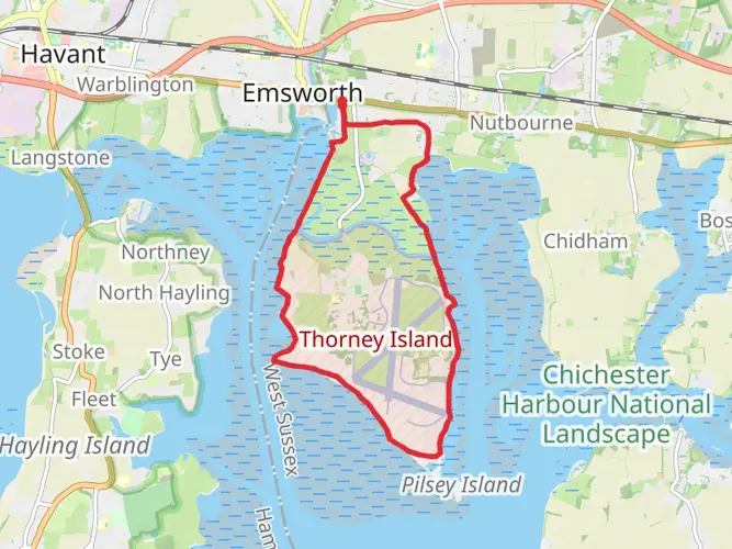
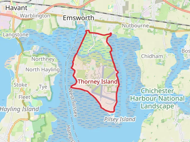
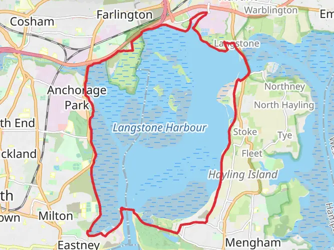
The Sussex Border Path is generally described as starting at Emsworth in Hampshire and tracing the Sussex boundary eastward and northward before continuing toward East Sussex and Kent. The route passes places including Thorney Island, South Harting, Liphook, Rudgwick, Gatwick, East Grinstead, Wadhurst, and Bodiam, following paths close to the historic county edge.
Is the Sussex Border Path difficult?
The Sussex Border Path is usually considered an easy long-distance trail, but easy here means technically straightforward rather than short. Over 227.49 km it still adds up to 3,213 m of climbing, so the challenge comes from the length, repeated daily mileage, and changing ground across coast, downland, and lowland paths.
Is the Sussex Border Path well waymarked?
The Sussex Border Path is partially waymarked rather than signed at every turn from end to end. On the ground, walkers may see a martlet symbol on green plaques or wooden signposts, but some sections rely on regular public rights of way signage and map reading, especially where the route joins existing footpaths and bridleways.
Can dogs go on the Sussex Border Path?
Dogs can generally be taken on the Sussex Border Path because much of the route uses public footpaths and other rights of way where walkers with dogs are allowed. In practice, dogs need close control around livestock, and in some open access areas in West Sussex dogs must be on a lead between March 1 and July 31 to protect ground-nesting birds.
What kind of scenery does the Sussex Border Path pass through?
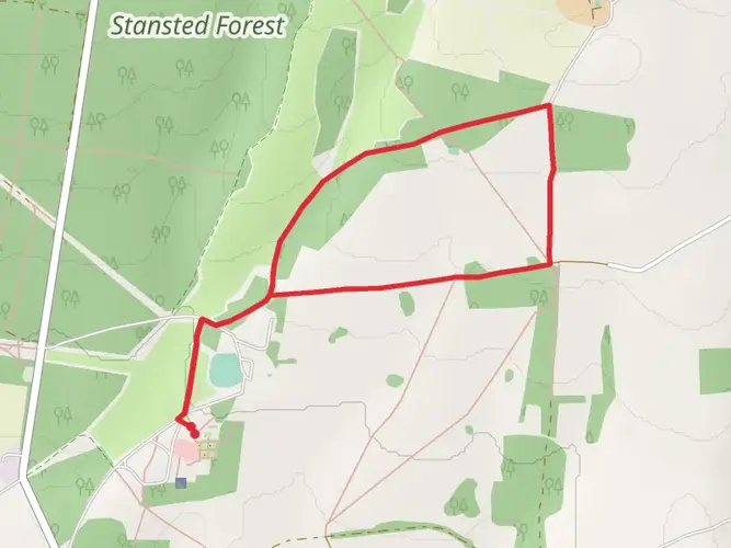
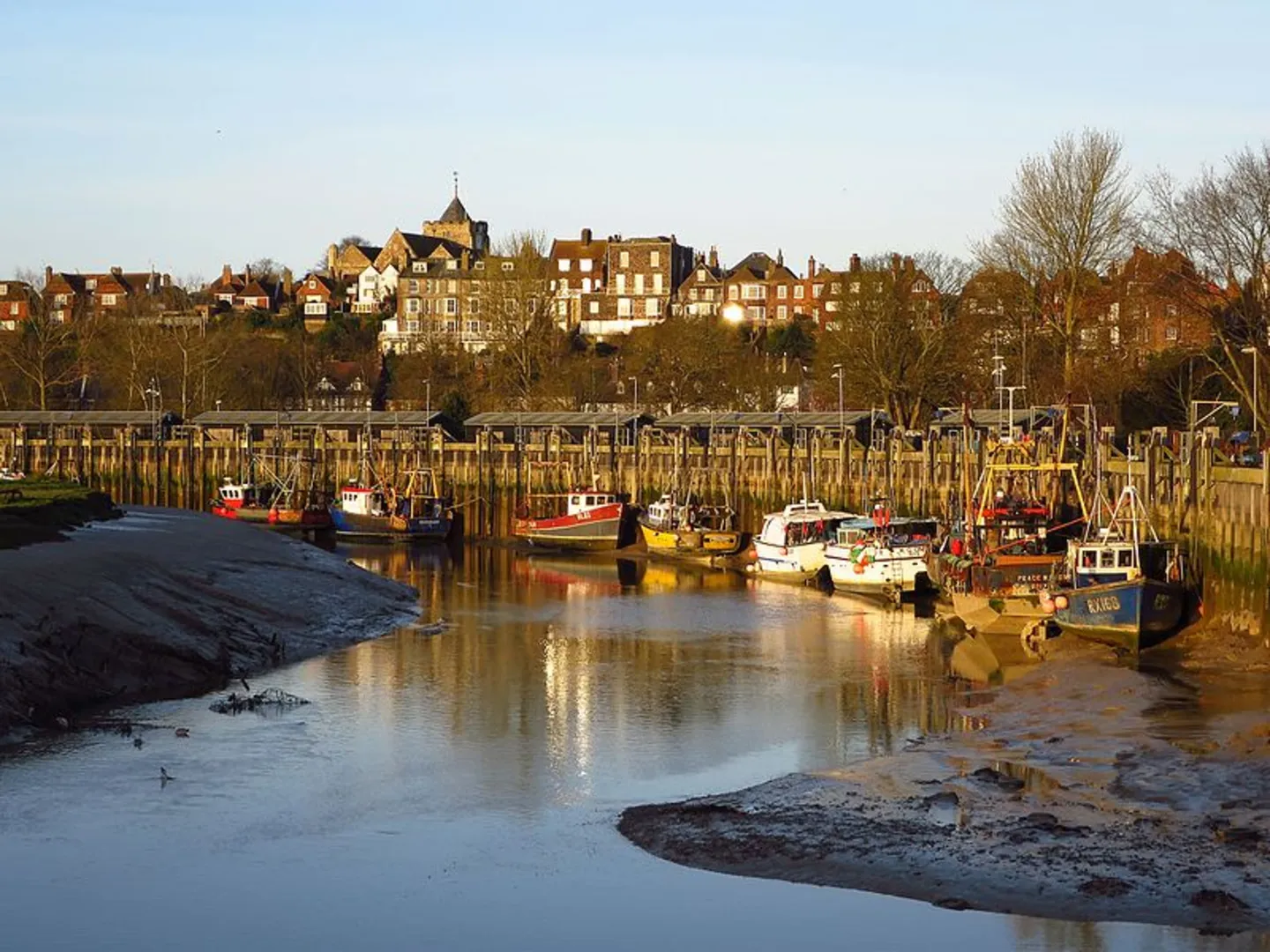
The Sussex Border Path covers a wide cross-section of southern England scenery, beginning with a circuit around Thorney Island before crossing the South Downs and continuing through the Sussex Weald. The route links coastal landscapes, downland, farmland, woods, and border villages such as South Harting, Rudgwick, East Grinstead, Wadhurst, and Bodiam.
What is the best time of year to walk the Sussex Border Path?
Late spring through early fall is usually the most practical time for the Sussex Border Path. The easy grading reflects the trail surface and gradients more than the season, and lowland sections in West Sussex and the Weald can become muddy after prolonged rain, while longer daylight in May to September makes stage planning simpler on a 227.49 km route.
Comments and Reviews
User comments, reviews and discussions about the Sussex Border Path, England.
average rating out of 5
0 rating(s)