Download
Preview
Add to list
More
26.1 km
~2 days
252 m
Multi-Day
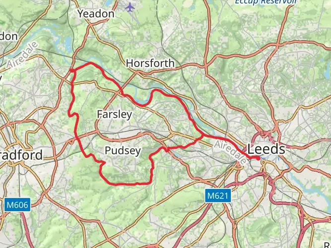
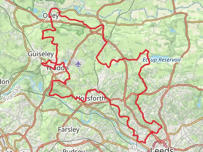
The Aire Valley Towpath Route is a 26.1 km trail that starts in Leeds, West Yorkshire, England. Based on our data, the hike is graded as Easy. For information on how we grade trails, please read measuring the difficulty of a hiking trail on hiiker. Also, check our latest community posts for trail updates. This hike can be completed in approx 5 hrs 38 mins. Caution is advised on trail times as this depends on multiple variables. For more info read about how we calculate hike time.

What to expect?
Activity types
Frequently asked questions
How long does the Aire Valley Towpath Route take to walk in West Yorkshire?
The Aire Valley Towpath Route is 26.11 km long with 252 m of total ascent, so it is a straightforward full-day walk for most hikers. On easy canal and riverside terrain, many walkers take around 5.5 to 7.5 hours, depending on pace, stops, and whether the route is completed in one push or split into shorter sections.
Is the Aire Valley Towpath Route an easy walk or a challenging hike?
The Aire Valley Towpath Route is graded easy, and that matches the character of a mostly flat towpath-style outing. Even though the route covers 26.11 km, the elevation gain is only 252 m, so the main challenge is distance rather than steep climbing.
What landmarks are on the Aire Valley Towpath Route between Leeds and Bingley?
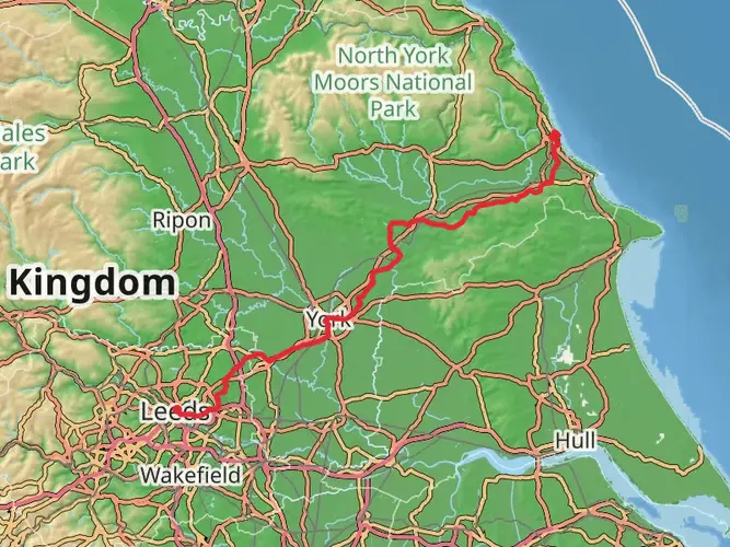
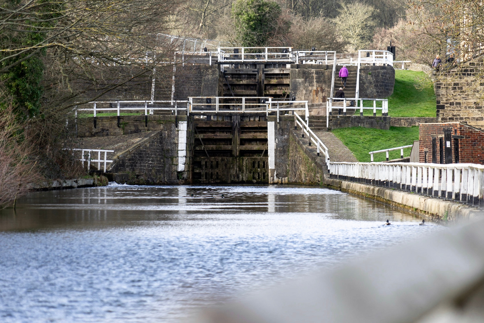
The Aire Valley Towpath Route follows the River Aire and the Leeds & Liverpool Canal corridor between Leeds and Bingley. Along the way, the route passes through the Aire Valley and reaches places such as Saltaire, the UNESCO-listed mill village on the River Aire, before continuing toward Bingley on the canal towpath.
Can the Aire Valley Towpath Route be done over more than one day?
Yes. The Aire Valley Towpath Route is listed as a multi-day trail, and its 26.11 km length makes it easy to divide into shorter stages. A common way to break it up is by using rail-linked towns along the corridor, including Leeds, Saltaire, Shipley, and Bingley, which sit on or close to the route.
Is the Aire Valley Towpath Route good for a low-elevation walk in West Yorkshire?
Yes. For a route covering 26.11 km, the total ascent of 252 m is relatively modest, which makes it one of the gentler long walks in West Yorkshire. The towpath and riverside setting keeps gradients mild for much of the route, so it suits hikers looking for distance without major climbs.
Can you reach the Aire Valley Towpath Route by public transport?
Yes. The route runs between Leeds and Bingley, both of which have railway stations, and intermediate stops such as Saltaire and Shipley also sit along the corridor. That makes it practical to walk the route one way and return by train rather than retracing the full 26.11 km.
Comments and Reviews
User comments, reviews and discussions about the Aire Valley Towpath Route, England.
average rating out of 5
0 rating(s)