Download
Preview
Add to list
More
50.0 km
~3 days
630 m
Multi-Day
“Embark on the historic Leland Trail through Wiltshire's verdant landscapes, where heritage and natural splendor await seasoned hikers.”
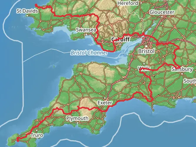
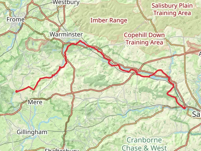
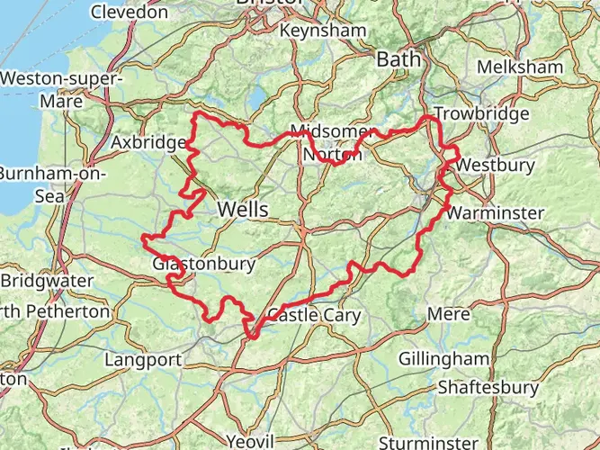
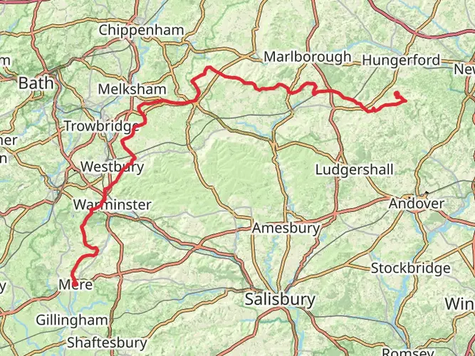
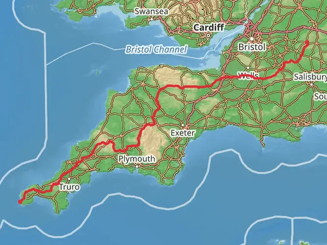
The Leland Trail stretches approximately 50 kilometers (about 31 miles) and features an elevation gain of around 600 meters (roughly 1968 feet), offering a medium difficulty level that caters to hikers with some experience. The trailhead is conveniently located near Wiltshire, England, a region steeped in history and natural beauty.
Getting to the Trailhead
To begin your adventure on the Leland Trail, you can reach the starting point by public transport or car. If you're coming by public transport, the nearest train stations are typically in the larger towns nearby, from where you can catch a local bus or taxi to the trailhead. For those driving, parking is available near the trailhead, which is often situated on the outskirts of a village or near a recognizable landmark.
Navigating the Trail
As you embark on the Leland Trail, it's advisable to use a reliable navigation tool like HiiKER to keep track of your progress and ensure you're following the correct path. The trail is marked, but having a digital map can be invaluable, especially at points where the trail may become less distinct.
Landmarks and Scenery
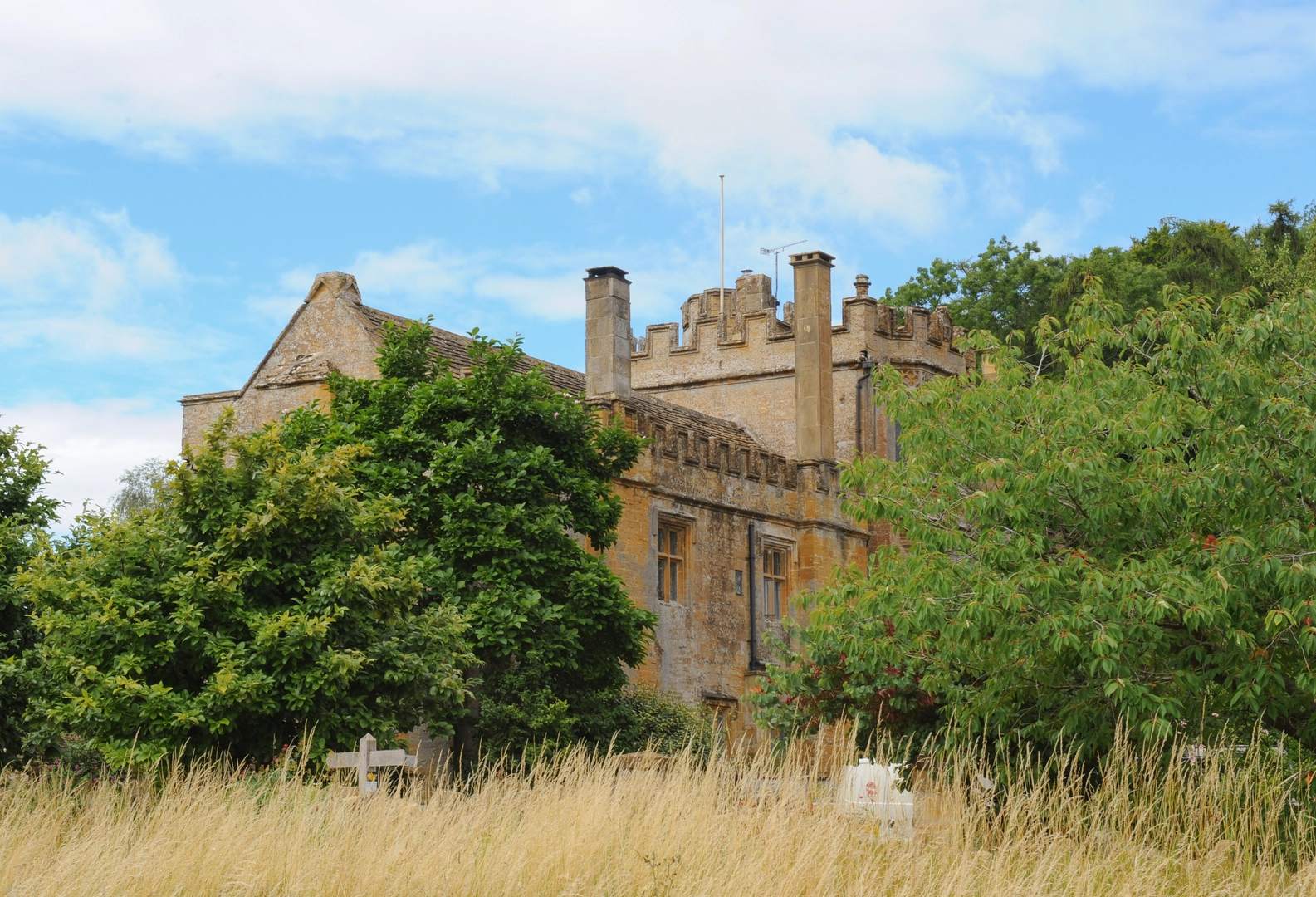
The trail meanders through a variety of landscapes, including rolling hills, dense woodlands, and open fields. You'll encounter picturesque English countryside, complete with traditional dry stone walls and hedgerows that are characteristic of the region.
One of the significant landmarks along the route is the historical site of an ancient hill fort, which you'll reach after approximately 15 kilometers (about 9 miles). This site offers a glimpse into the region's distant past and provides a panoramic view of the surrounding area.
Flora and Fauna
As you hike, keep an eye out for the diverse wildlife that inhabits the area. The woodlands and fields are home to a variety of birds, including skylarks and buzzards, while the hedgerows may shelter smaller mammals like hedgehogs and rabbits.
The trail also boasts a rich array of plant life, with wildflowers such as bluebells and poppies in the spring and summer months, adding a splash of color to the green landscape.
Historical Significance
The region around Wiltshire is known for its historical landmarks, and the Leland Trail is no exception. The trail takes its name from John Leland, a noted 16th-century antiquary who traveled through England documenting its antiquities. As you walk, you're retracing the steps of history, with the trail offering insights into the area's past from prehistoric times through to the present day.
Preparation and Planning
Before setting out, ensure you have adequate supplies, including water, food, and weather-appropriate clothing. The English weather can be unpredictable, so it's wise to prepare for rain or shine. Also, consider the length of the trail and plan your itinerary accordingly, whether you intend to complete it in a single push or break it up into more manageable sections with overnight stops.
Remember, the Leland Trail is a point-to-point hike, so you'll need to arrange transportation back to your starting point or onward from the trail's end. Local taxi services or public transport can typically be used for this purpose.
By following these guidelines and preparing properly, you'll be set for a memorable hike along the Leland Trail, where history and nature intertwine to create a uniquely enriching outdoor experience.

What to expect?
Activity types
Frequently asked questions
How long is the Leland Trail and how many days does the Leland Trail usually take?
The Leland Trail is 50.01 km long with 630 m of total ascent. At that length it is best treated as a multi-day walk, though strong walkers could complete it in a long single push. Most itineraries break a route of this size into 2 to 3 days, depending on pace, stops, and transport at each end.
Is the Leland Trail difficult or suitable for beginners?
The Leland Trail is graded easy, which puts it within reach of many walkers with basic fitness and some experience of longer countryside routes. The main challenge is not steep climbing but covering 50.01 km over more than one day, so stamina, weather, and route-finding matter more than technical terrain.
How much elevation gain is on the Leland Trail?
The Leland Trail has 630 m of elevation gain across its 50.01 km route. That is relatively moderate for a multi-day trail of this length, so the walking is more about steady ups and downs than sustained mountain climbing.
Is the Leland Trail a circular walk or a point-to-point route?
The Leland Trail is listed as a multi-day trail rather than a short loop, so it is best planned as a linear route with separate start and finish logistics. That usually means arranging a car shuttle, pickup, or public transport connection rather than expecting to finish back at the trailhead.
Can the Leland Trail be done as a day hike instead of a multi-day walk?
It can be done in a day by very fast, well-prepared walkers, but 50.01 km is a demanding single-day distance even on an easy-rated trail. For most hikers, the more realistic approach is to split the Leland Trail over 2 or more days so the distance is manageable and there is time for breaks and navigation.
What kind of terrain should hikers expect on the Leland Trail in Wiltshire?
The Leland Trail covers 50.01 km in the Wiltshire countryside with a modest 630 m of climbing, so the route is likely to feel more rolling than mountainous. On an easy-rated English multi-day trail, hikers should expect a mix of country paths, tracks, field edges, and short road sections rather than technical scrambling.
Comments and Reviews
User comments, reviews and discussions about the Leland Trail, England.
4.33
average rating out of 5
3 rating(s)