Download
3D Flyover
Add to list
More
38.0 km
~2 days
103 m
Multi-Day
“Circle Lac d’Annecy through storybook villages—blue water, green slopes, and unhurried shoreline moments.”
This is a mostly flat, lakeside circuit of Lac d’Annecy that strings together promenades, cycleways, quiet lanes, and short shoreline paths through a chain of villages. At roughly 38 km / 23.6 mi with about 100 m / 330 ft of total ascent (route-dependent), it’s best planned as a long day out or a relaxed two-part outing with plenty of options to shorten using buses or boats.
Where to start (nearest landmark / address-level reference)
The most practical “front door” start is on the north end of the lake in Annecy, where paths and transit are easiest:
- Jardins de l’Europe (near Pont des Amours / “Lover’s Bridge”), 74000 Annecy, France — a common meeting point right on the lakefront, next to the canals and old town. From here you can pick up continuous lakeside infrastructure quickly.
If you’re using HiiKER, choose a start point that pins to Annecy lakefront (Jardins de l’Europe / Pont des Amours) so your track begins on the shoreline rather than in the old-town street grid.
Getting to the start (car + public transport)
By train:
- Arrive at Gare d’Annecy (well-connected via regional and intercity services). From the station it’s an easy walk to the lakefront start at Jardins de l’Europe (roughly 1.5 km / 1 mi depending on your exact exit and route).
By car:
- Aim for parking around central Annecy (signed public car parks are common). In peak summer and weekends, parking fills early; arriving before mid-morning makes a big difference. If you want a quieter start, you can also park in lakeside communes (where permitted) and join the loop there, but Annecy is simplest for navigation and services.
Local transport for bail-outs / shortcuts:
- The Grand Annecy bus network (SIBRA) and lake boats in season can help you shorten the day if weather turns or pace slips. Plan these options in advance in HiiKER so you know where the nearest stops and alternative endpoints are.
What the terrain feels like (and why the elevation can vary)
Although this is often described as “easy,” it’s long. The difficulty is usually about time-on-feet rather than steep climbing. Most of the loop stays close to lake level, but small rises happen where the shoreline is interrupted by roads, private property, or bluffs—especially on the east shore between Annecy-le-Vieux/Veyrier-du-Lac and the Talloires area, where the land pinches tighter to the water.
Underfoot you’ll typically see: - Smooth promenades and compact gravel paths near Annecy - Long, fast cycleway-style sections on the west/south shores - Shorter, narrower shoreline footpaths and roadside connectors where the lake edge is constrained
Because there are multiple legitimate ways to “close the circle” (more shoreline vs. more roadside vs. more cycleway), total ascent can range from very low to noticeably higher depending on your exact line—stick closely to your HiiKER track if you’re trying to keep it near ~100 m / 330 ft.
Landmarks, scenery, and the best “look-for” moments
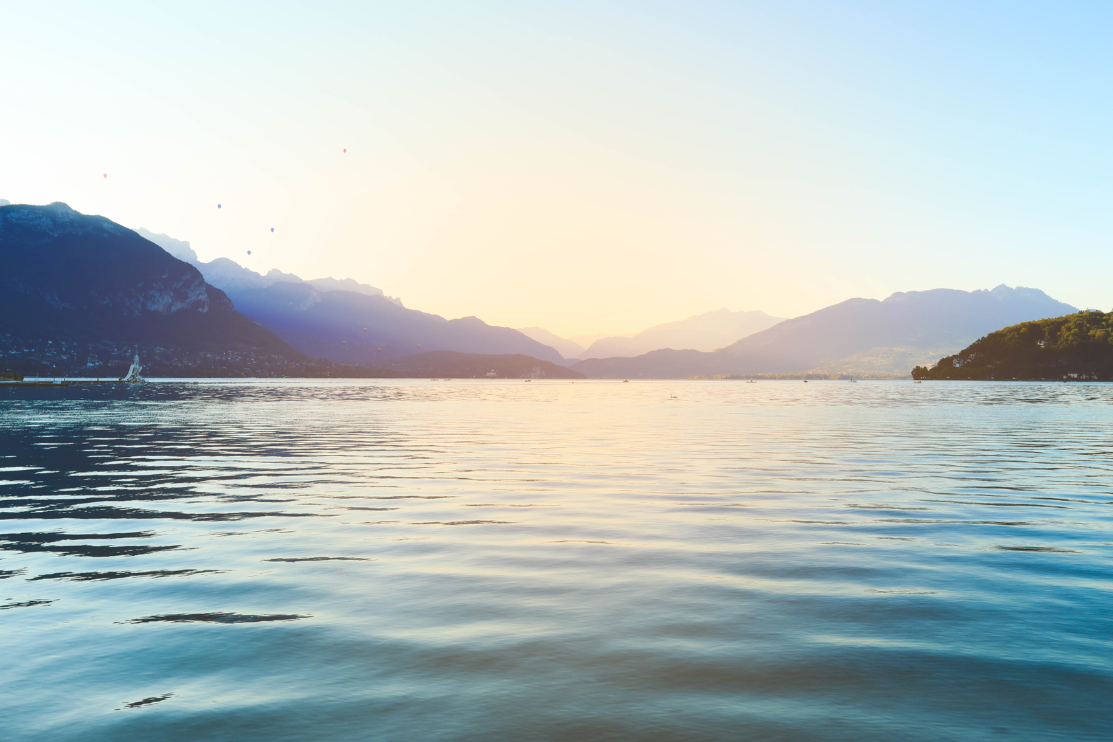
Annecy’s lakefront and canals (north end):
Starting near Jardins de l’Europe gives you immediate views across the water toward the surrounding pre-Alps. The first kilometers are lively—runners, cyclists, and families—especially in warm months.
East shore viewpoints (Veyrier-du-Lac → Menthon-Saint-Bernard → Talloires):
This side is where the lake often looks most dramatic: steep green slopes dropping toward deep blue water, with frequent “postcard” angles back toward Annecy. You’ll also be in the visual orbit of Château de Menthon-Saint-Bernard, a prominent castle above the lake that’s one of the signature historic silhouettes of the area. (en.wikipedia.org)
Nature pockets and protected areas:
Between Menthon-Saint-Bernard and Talloires, the Roc de Chère area is a notable natural highlight—wooded, slightly wilder, and a good place to slow down and watch the waterfowl activity along calmer edges. (tourisme-haute-savoie.com)
At the south end near Doussard, wetlands around the lake’s “bout du lac” are known for marshy habitats and birdlife; if your chosen line passes close to these zones, expect a different feel—reeds, quieter water, and more of a nature-reserve atmosphere than a promenade. (alloculture.fr)
West shore (Saint-Jorioz → Sévrier → back to Annecy):
This side is often the most efficient for making time: longer continuous paths and cycleway-like stretches. It’s also where you’ll find plenty of access points to beaches, cafés, and water refill opportunities in towns.
Wildlife and seasonal conditions
- Birdlife: Swans,

Surfaces
Asphalt
Unknown
Paved
Concrete
Gravel
Wood
Comments and Reviews
User comments, reviews and discussions about the Lake Annecy Loop, France.
average rating out of 5
0 rating(s)