Download
3D Flyover
Add to list
More
99.0 km
7 days
5832 m
Multi Day
“Embark on a scenic 98-km Alpine trek, savoring Beaufort cheese and ancient vistas.”
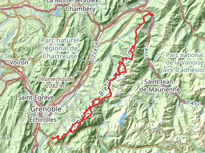
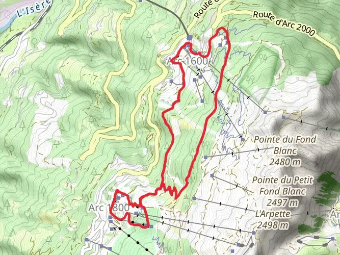
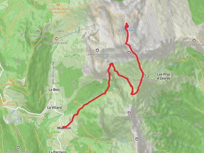
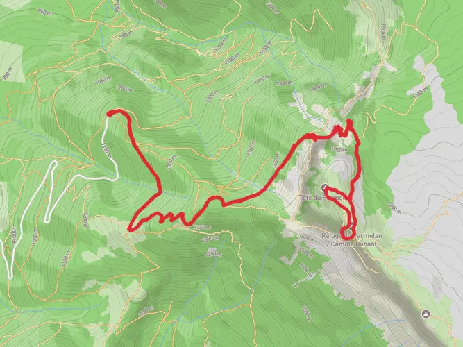
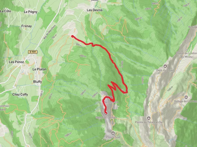
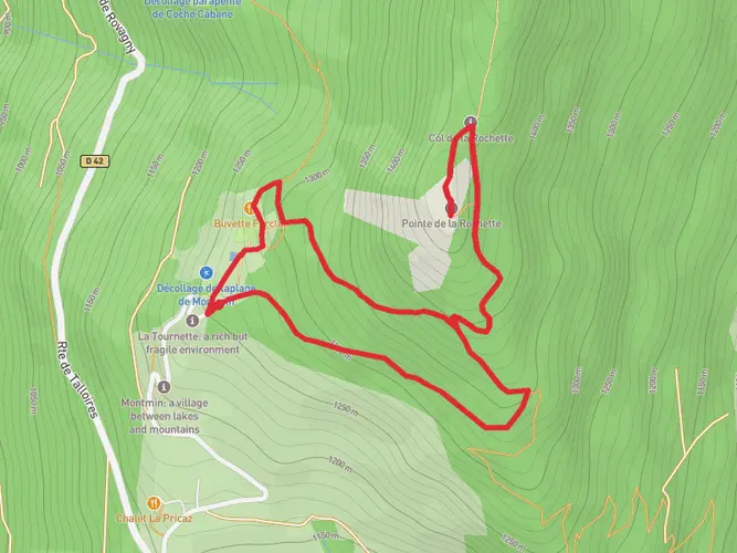
Embarking on the Tour Du Beaufortain, hikers will traverse approximately 98 kilometers (about 61 miles) of varied terrain, with an elevation gain of around 5300 meters (roughly 17,388 feet). This loop trail, nestled in the heart of the French Alps, begins near the charming village of Beaufort, renowned for its delicious cheese.
Getting There To reach the trailhead, travelers can drive to Beaufort, which is accessible from Albertville via the D925 road. For those relying on public transport, buses from Albertville to Beaufort are available, though it's essential to check the latest schedules for the most accurate information.
Trail Overview The journey starts with a gentle ascent through alpine meadows, offering a chance to acclimate to the altitude. As the path winds upwards, hikers will encounter the first significant elevation gain leading to the Col de la Fenêtre, a mountain pass offering panoramic views of the Mont Blanc massif.
Landmarks and Nature Continuing on, the trail meanders past several high-altitude lakes, including the Lac de Presset, where the reflective waters provide a serene spot for a rest. The path then takes adventurers through the Col du Bresson, with an elevation of 2,474 meters (8,117 feet), before descending into the valley.
The route is dotted with traditional alpine huts, known as refuges, where hikers can rest and even spend the night. These refuges also serve as waypoints to gauge progress along the trail.
Wildlife and Flora The Beaufortain region is rich in biodiversity. Hikers may spot chamois and ibex on the rocky outcrops, while marmots whistle warnings as you pass their burrows. The area is also home to a variety of birds, including eagles and vultures. The flora is equally impressive, with alpine flowers like edelweiss blooming in the summer months.
Historical Significance The Beaufortain area is steeped in history, with evidence of human settlement dating back to the Neolithic period. The trail occasionally passes near ruins and old mining sites, remnants of the region's past industries.
Navigation For navigation, hikers can rely on the HiiKER app, which provides detailed maps and waypoints to ensure you stay on the correct path. It's advisable to download the trail map beforehand, as some sections may have limited mobile reception.
Preparation and Planning Given the trail's medium difficulty rating, it's suitable for hikers with a reasonable level of fitness and experience. Preparation should include packing appropriate clothing for changing weather conditions, as the high altitude can bring about sudden temperature drops. It's also essential to carry enough food and water, although there are opportunities to replenish supplies at the refuges along the route.
Conclusion In conclusion, the Tour Du Beaufortain offers a challenging yet rewarding experience for hikers looking to immerse themselves in the natural beauty and historical richness of the French Alps. With careful planning and respect for the environment, this trail promises an unforgettable adventure.
AI Planner
Days planned around your pace, with somewhere to stay each night.

Surfaces
Unknown
Ground
Gravel
Dirt
Asphalt
Paved
Grass
Unpaved
Comments and Reviews
User comments, reviews and discussions about the Tour Du Beaufortain, France.
5.0
average rating out of 5
13 rating(s)