Download
3D Flyover
Add to list
More
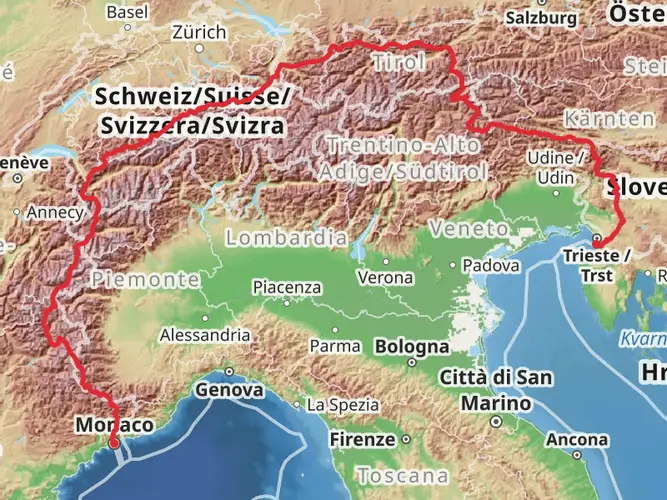
169.0 km
~9 days
8894 m
Multi-Day
“Embark on a scenic Alpine odyssey through France's historic Haut-Verdon, where nature's splendor meets human heritage.”
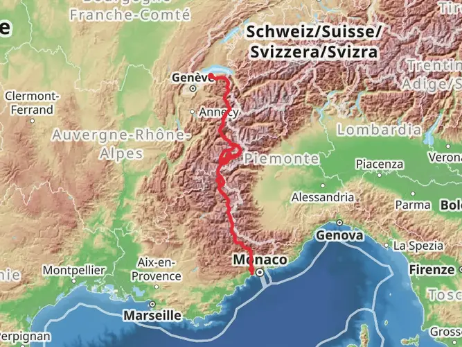
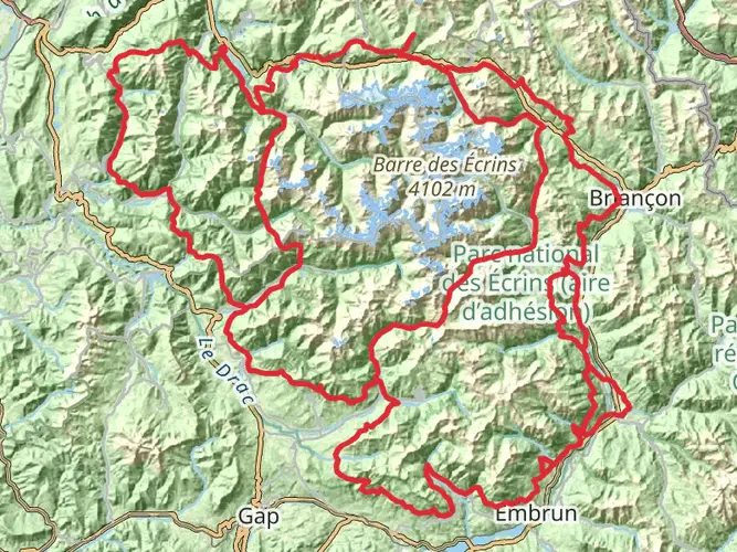
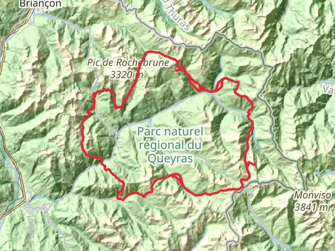
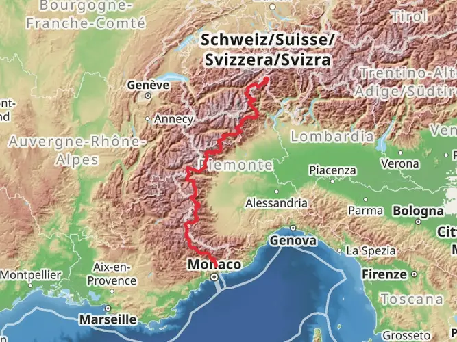
Embarking on the Les Tours du Haut-Verdon trail, hikers will traverse approximately 169 kilometers (about 105 miles) of diverse landscapes in the heart of the French Alps. With an elevation gain of around 8800 meters (approximately 28,870 feet), this loop trail is a challenging endeavor that begins near the picturesque town of Colmars, France.
Getting to the Trailhead
To reach the starting point of the trail, adventurers can drive to Colmars, which is accessible from major cities like Nice or Grenoble. For those relying on public transportation, buses from surrounding cities frequently make stops in Colmars. Once in Colmars, the trailhead is conveniently located, making it easy to begin the journey.
Navigating the Trail
The trail is well-marked, but due to its length and complexity, it's advisable to use a reliable navigation tool like HiiKER to keep track of your progress and ensure you're on the right path. HiiKER can also help you locate nearby amenities and points of interest throughout your hike.
Trail Experience
As you set out from the trailhead near Colmars, you'll be greeted by the verdant valleys and rugged peaks that characterize the Haut-Verdon region. The trail will lead you through a variety of terrains, from dense forests to alpine meadows, and over high mountain passes that offer breathtaking views of the surrounding peaks.
Historical Significance
The Haut-Verdon area is steeped in history, with the trail passing through several villages that date back to the Middle Ages. Hikers will have the opportunity to explore these historic settlements, including the fortified town of Colmars itself, which was an important defensive site through various periods of conflict.
Landmarks and Nature
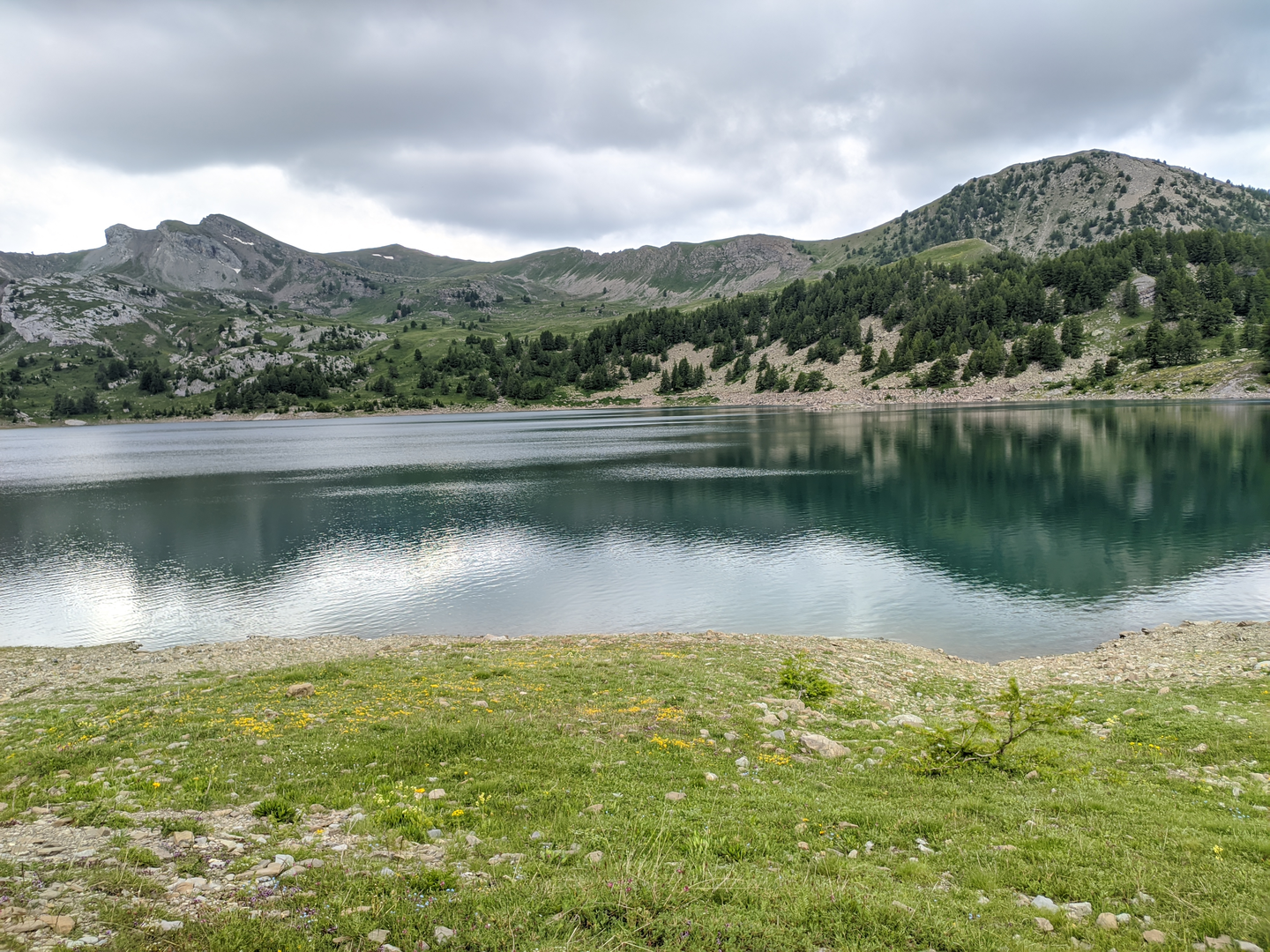
One of the most significant landmarks along the trail is the Lac d'Allos, a stunning glacial lake situated at an elevation of 2,230 meters (7,316 feet). This natural wonder is the largest high-altitude lake in Europe and is a perfect spot for a restful break to take in the serene beauty of the area.
Wildlife Encounters
The region is home to an abundance of wildlife, including marmots, chamois, and golden eagles. Hikers should keep their distance and respect the natural habitat of these creatures. The diverse flora along the trail will also be of interest to nature enthusiasts, with a range of alpine flowers and plants that change with the seasons.
Preparation and Planning
Given the trail's difficulty rating and the significant elevation gain, it's essential for hikers to be well-prepared. This includes carrying appropriate gear for changing weather conditions, as the high altitudes can bring about sudden shifts in temperature and precipitation. It's also important to plan for multiple days of hiking, with options for overnight stays in mountain huts or camping where permitted.
Safety and Etiquette
Safety should be a top priority, so hikers should inform someone of their plans and expected return. It's also crucial to practice Leave No Trace principles to preserve the trail and its surroundings for future visitors.
By preparing adequately and respecting the natural and historical significance of the Les Tours du Haut-Verdon trail, hikers can look forward to an unforgettable experience in one of France's most majestic mountain regions.

Frequently asked questions
How long does Les Tours du Haut-Verdon usually take to hike?
Les Tours du Haut-Verdon is a 169.03 km multi-day route with 8,894 m of climbing, so it is normally treated as a long backpacking trip rather than a weekend hike. A strong pace can break it into shorter stages, but the overall scale and Extra Difficult rating put it firmly in the category of a demanding alpine circuit.
Can Les Tours du Haut-Verdon be done in 3 or 4 days?
Les Tours du Haut-Verdon is possible to shorten only by tackling selected sections, not by comfortably hiking the full 169.03 km route in 3 or 4 days. Covering the entire trail in that time would require very long daily distances and major elevation totals in high mountain terrain, which is beyond the scope of a typical backpacking itinerary.
Where does Les Tours du Haut-Verdon start and finish?
Les Tours du Haut-Verdon is based near Colmars in Alpes-de-Haute-Provence and forms a loop, so it starts and finishes in the same area. Colmars-les-Alpes sits at about 1,250 m in the Haut-Verdon valley and is the logical access point for the circuit and its resupply or lodging stops.
Does Les Tours du Haut-Verdon go near Lac d’Allos and Les Trois-Évêchés?
Yes. The Haut-Verdon circuit is closely tied to the high country around Lac d’Allos and the Trois-Évêchés massif above the upper Verdon valley. Lac d’Allos is one of the best-known landmarks in the area, and the Trois-Évêchés range rises near Col d’Allos above the headwaters of the Verdon, making both names highly relevant to this route.
Is Les Tours du Haut-Verdon a difficult hike?
Les Tours du Haut-Verdon is rated Extra Difficult, and the numbers explain why: 169.03 km of distance and 8,894 m of ascent. That combination means repeated long climbing days in alpine terrain around the Haut-Verdon, so it is best suited to experienced hikers with solid mountain fitness and multi-day planning skills.
What kind of terrain should hikers expect on Les Tours du Haut-Verdon?
Les Tours du Haut-Verdon crosses classic southern Alpine terrain around Colmars and the upper Verdon: long valley approaches, steep mountain climbs, high passes, and open alpine ground. The route’s scale and elevation gain suggest a mix of forested lower sections and more exposed high-country terrain rather than a single-style path throughout.
Is parking or road access an issue near Les Tours du Haut-Verdon around Colmars and Lac d’Allos?
Access from Colmars is straightforward, but hikers linking in Lac d’Allos should note that seasonal vehicle controls can apply on the approach roads and parking areas in summer. The Lac d’Allos area is about 17.5 km by road from Colmars-les-Alpes, and regulated parking periods have been used during peak season, so access logistics matter on this circuit.
Comments and Reviews
User comments, reviews and discussions about the Les Tours du Haut-Verdon, France.
5.0
average rating out of 5
5 rating(s)