Download
3D Flyover
Add to list
More
23.6 km
~6 hrs 39 min
1168 m
Loop
“A sun-drenched Pyrenean circuit across lonely plateaus and airy frontier cols rewards prepared hikers with grand solitude.”
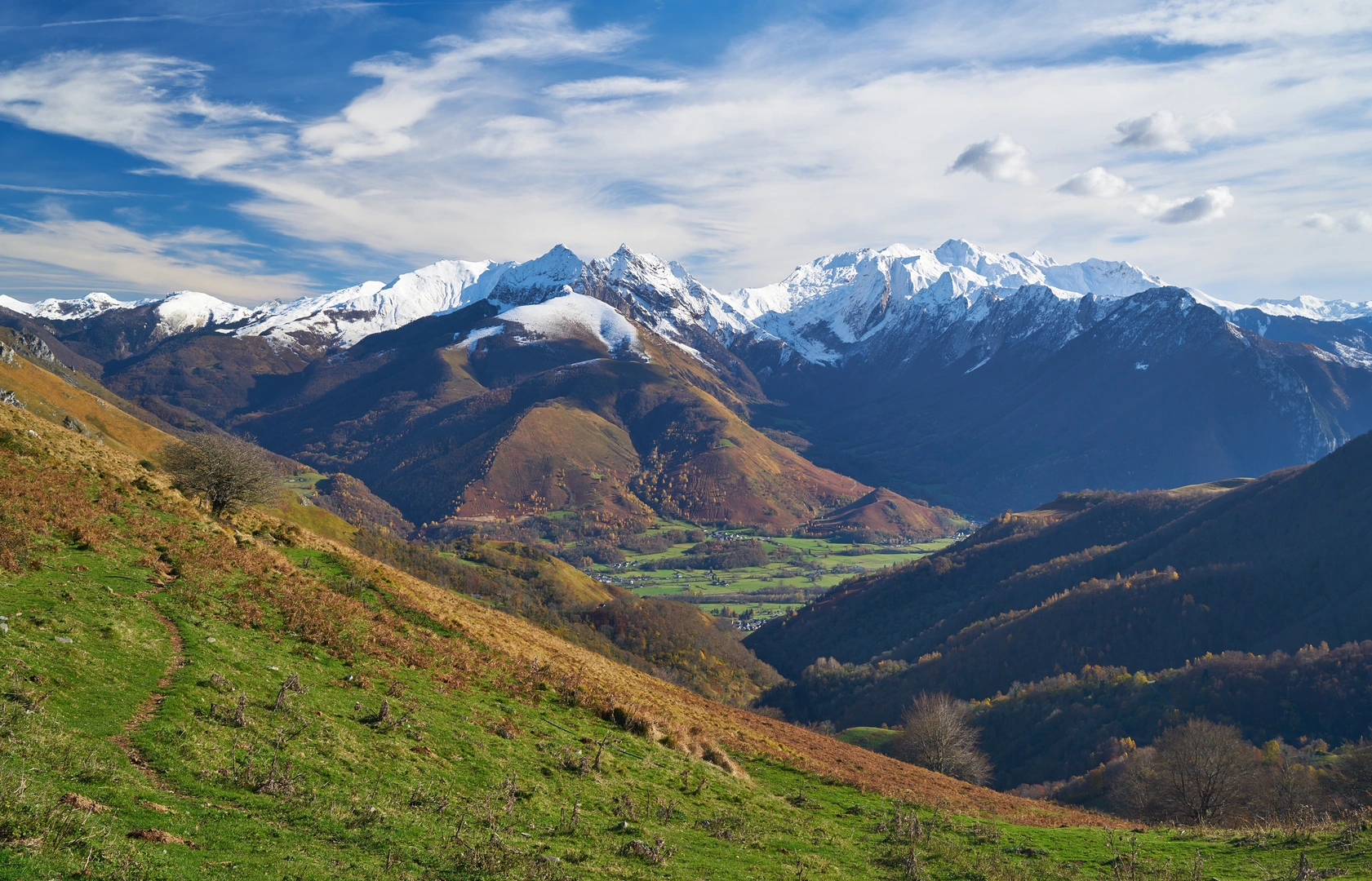
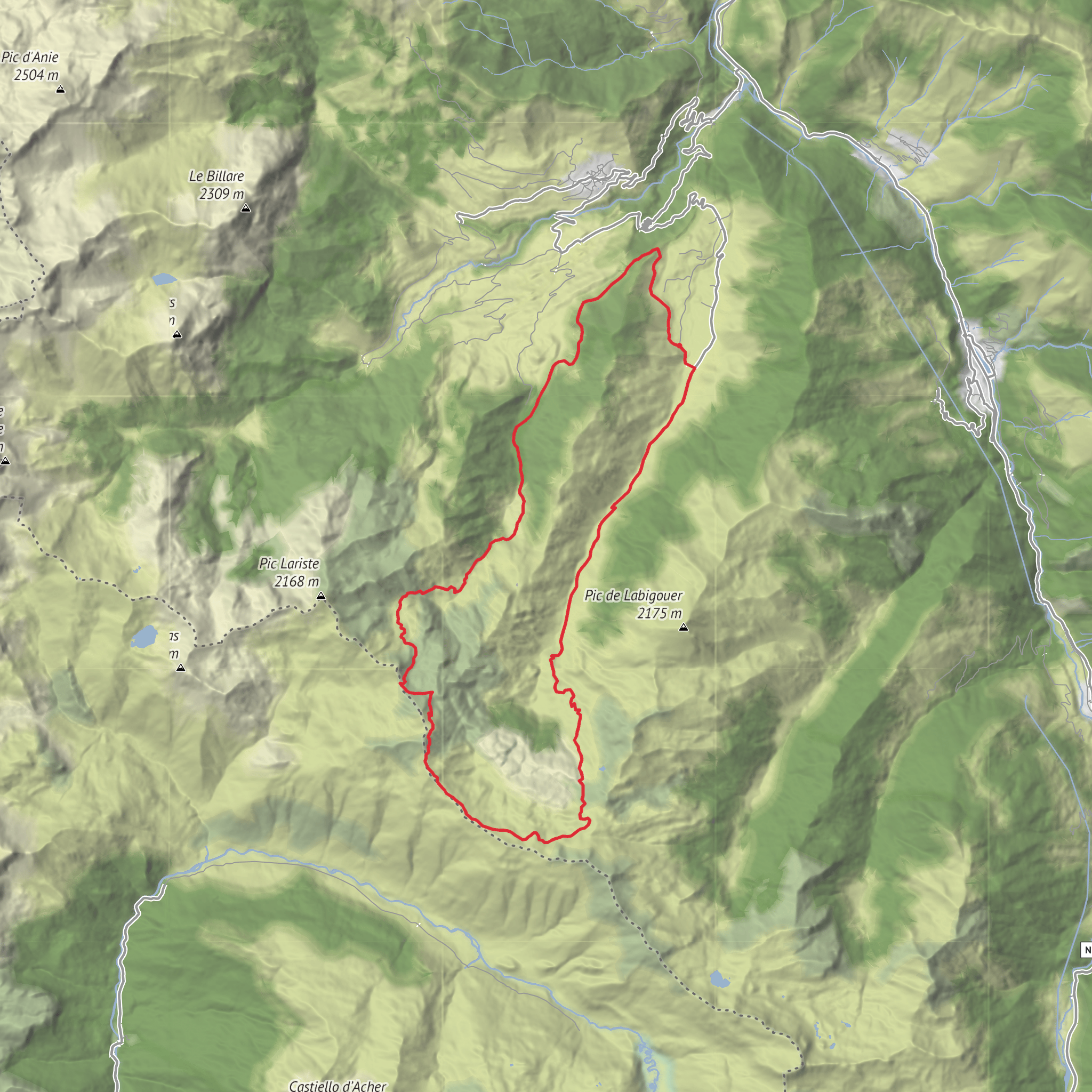
This is a long, high-country circuit in the western French Pyrenees that links broad pastoral plateaus with a rugged frontier ridge, climbing from the Lhers area toward the Col du Saoubathou, then on to the Picq de Burcq/Col de Burcq sector and the Col de Pau before descending by the Bonaris valley. Expect roughly 24 km / 14.3 miles with about 1,200 m / 3,940 ft of ascent, which puts it firmly in the medium-to-hard bracket despite the estimated “Medium” rating: the distance is substantial, the day is exposed, and much of the interest comes from spending hours above 1,900 m / 6,230 ft. A published route for this circuit measures 22.93 km / 14.25 miles with 1,142 m / 3,747 ft of ascent and an average time just under 10 hours, so most hikers should plan for a full day out. (visorando.com)
The start is on the Plateau de Lhers above Accous in the Vallée d’Aspe, near the Gîte de Lhers, Lhers, 64490 Accous, France, with the first walking section continuing to the Aumet parking area. The route lies in Pyrénées-Atlantiques, close to the heart of the Parc national des Pyrénées, and the terrain alternates between access tracks, shepherd paths, grassy traverses, and steeper mountain trail on the upper slopes. (visorando.com)
By car, the usual approach is via the N134 through the Aspe Valley, then up the local mountain road toward Lhers or, for nearby Col de Pau outings, via Lescun and the Route du Col de Pau/Labrénère. From Pau, the valley approach runs south through Oloron-Sainte-Marie toward Accous. If you are relying on public transport, the nearest practical rail access is Bedous station, and local onward connections serve Accous; from there, reaching the trailhead generally requires a taxi, arranged transfer, or a long additional road walk because the hike starts high on the plateau rather than in the valley floor. (accous.wixsite.com)
What the route feels like
The opening kilometres are comparatively gentle. From around 1,006 m / 3,301 ft at the parking near Lhers, the route heads on foot toward Aumet, then continues past Cabane de Pourcibo and Cabane det Caillau. This lower section is useful for warming up before the real climb begins. The gradient is moderate at first because much of the ascent follows track rather than a direct steep footpath, but once the route leaves the easier line near Caillau, the mountain character becomes much more obvious. (visorando.com)
From about 5.2 km / 3.2 miles onward, the climb steepens toward the Col du Saoubathou, reaching roughly 1,949 m / 6,394 ft. This is one of the key turning points of the day: the landscape opens dramatically, the sense of exposure increases, and the route begins to feel more like a ridge-and-col circuit than a valley walk. Weather matters a lot here. In cloud, the open slopes and junctions can feel confusing; in sun, the lack of shade becomes the main challenge. The route description notes that there is essentially no shade for most of the day, so sun protection and water planning are important. (visorando.com)
Beyond the col, the route trends along high pasture and crest terrain toward the Col de la Cuarde and Col de Burcq, with the high point of the circuit around 2,045–2,063 m / 6,709–6,768 ft depending on the exact line taken. This middle section is where the walk earns its reputation: long views, rolling ridge travel, and a strong sense of being on an old mountain passage between valleys. The terrain is not especially technical in dry summer conditions, but it is committing because of the distance, wind exposure, and the need to keep enough energy for the long descent. (visorando.com)
Landmarks, scenery, and natural character
Surfaces
Unknown
Gravel
Asphalt
Dirt
Comments and Reviews
User comments, reviews and discussions about the Picq de Burcq and Col de Pau via Col du Saoubathou, France.
average rating out of 5
0 rating(s)
