Download
3D Flyover
Add to list
More
4.5 km
~1 hrs 22 min
290 m
Loop
“A short, feisty Lescun loop with sweeping ridge views, muddy twists, and a true mountain feel.”
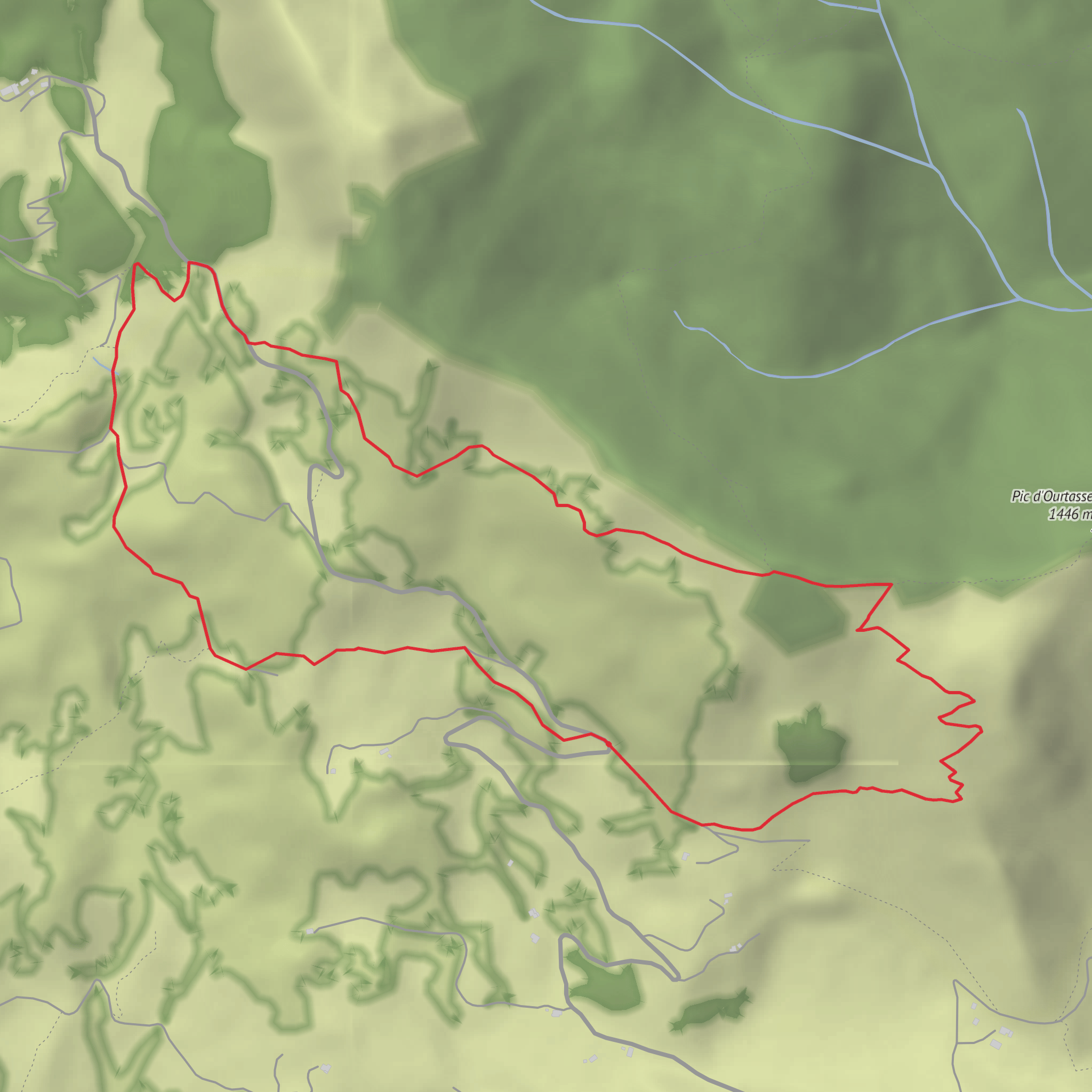
This short but surprisingly punchy loop above Lescun packs a lot into roughly 4.2 km / 2.6 miles, with about 300 m / 985 ft of ascent. Although the distance is modest, the climb is steady enough to justify treating it as a proper mountain outing, especially if the ground is wet, snowy, or churned up by livestock. The route starts from the hairpin parking area on the Route de Labérouat at about 1,214 m / 3,983 ft, just above Lescun in the Vallée d’Aspe, and climbs onto a ridge before looping back through pasture and woodland. (visorando.com)
The trailhead is best identified as the roadside parking at the hairpin bend on the Route de Labérouat, above the village of Lescun, near the turnoff toward Refuge de Labérouat. The mapped start point is approximately 42.940518, -0.653946, which corresponds to that signed mountain road access above Lescun rather than a street address in the village. (visorando.com)
The opening section follows the GR®10 briefly for around 150 m / 0.1 mile before branching left onto an unmarked but generally clear climbing path. That detail matters: the ascent path is not waymarked, so this is not the place to switch off mentally. If visibility drops, or if leaf fall, snow, or mud obscures the tread, route-finding becomes more important than the short mileage suggests. Using HiiKER before setting out is a smart move here. (visorando.com)
What the route feels like
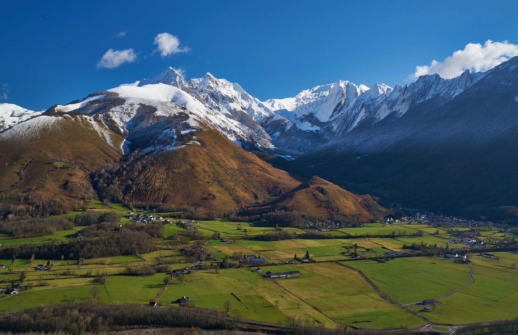
The climb begins through ferny slopes and quickly steepens into a series of switchbacks. Over the first 1.3 km / 0.8 mile, the route gains roughly 250 m / 820 ft, so expect the hardest work early. As height is gained, views begin to open toward Lescun and the surrounding cirque, giving the walk a much bigger-mountain feel than its statistics imply. (visorando.com)
At around 1.35 km / 0.84 mile, the route reaches a junction near 1,466 m / 4,810 ft, the high point of the loop. From here, the character changes: the path runs along the Ourtasse ridge beside north-facing beech woodland, then joins a marked trail leading toward Cabane de Boué before easing into a gentler descent. This middle section alternates between open fern slopes and shaded forest, which can make footing variable under changing weather. (visorando.com)
The final part rejoins the Route de Labérouat briefly, then turns onto a broad descending track through pasture. This is where many walkers report the mud is worst, especially near the lower junctions and springs. In dry weather it is straightforward; after rain, thaw, or livestock traffic, it can become slippery and messy enough to slow progress considerably. Waterproof boots with decent tread are far more useful here than lightweight trail shoes. (visorando.com)
Terrain, hazards, and preparation
Despite being short, this is not a casual flat stroll. The main things to prepare for are: - a steep initial climb - an unmarked ascent path - mud on the descent - possible snow or frozen ground outside the warmer months - changing mountain weather above Lescun. (visorando.com)
If conditions are damp, trekking poles can help on the lower descent. In colder months, patches of snow may linger around the upper section, and user reports from late November mention knee-deep snow on parts of the route. Even when snow is absent, springs and seepage can keep the ground soft. (visorando.com)
Because the route is short, many hikers underestimate it and carry too little. A basic mountain kit still makes sense: waterproof layer, insulating layer, water, snacks, and a downloaded HiiKER map. There are no urban services at the trailhead, so sort food, water, and fuel in Lescun or earlier in the valley. The nearest practical landmark for pre-hike orientation is the village of Lescun itself, with the route continuing uphill on the Labérouat road. (visorando.com)
Land
Surfaces
Ground
Unknown
Dirt
Asphalt
Comments and Reviews
User comments, reviews and discussions about the The Bois d'Arce Loop, France.
average rating out of 5
0 rating(s)
