Download
3D Flyover
Add to list
More
8.2 km
~2 hrs 52 min
740 m
Out and Back
“A steep forest surge onto Parmelan’s pale karst maze, rewarded with sweeping Annecy–Aravis panoramas.”
This is a short, steep loop that climbs quickly from the forested lower slopes into the limestone world of the Parmelan plateau—an area known for its stark rock pavement, sinkholes, and wide-open views over the Annecy basin and the Aravis range. At around 8 km (5.0 mi) with roughly 700 m (2,300 ft) of ascent, it’s “Difficult” mainly because the gradient is sustained, the footing becomes rocky and uneven near the top, and the plateau can feel disorienting in poor visibility.
Getting to the start (car + public transport)
Nearest major hub: Annecy, Haute-Savoie, France. Most hikers start from one of the common trailheads on the north side of Annecy, typically around Villaz / Nâves-Parmelan / Dingy-Saint-Clair depending on the exact loop variant.
- By car: From Annecy, drive north toward Villaz and the Parmelan access roads. Parking is usually at a signed trailhead/parking area used for Parmelan ascents (often associated with local trail signage for “Parmelan” and “Refuge/Cabane”). Arrive early on weekends—this is a popular objective because it’s close to Annecy and delivers big views for the effort.
- By public transport: Use regional buses from Annecy toward the villages on the Parmelan side (commonly Villaz or nearby communes). From the village stop, expect an additional walk to the trailhead. Because schedules can be seasonal and limited, check the current bus times before committing, and plan a buffer for the return.
If you share the lon/lat for your intended “Hike head,” I can pin it to the nearest named parking area, village stop, or landmark and tailor the directions precisely.
What the route feels like (distance + elevation pacing)
0.0–2.0 km (0.0–1.2 mi) | +350 m (+1,150 ft) approx.
The loop typically begins on a forest track or well-used path that wastes no time gaining height. Expect a steady climb through mixed woodland—beech and conifers are common here—with roots, damp soil, and occasional rock steps. In the morning or after rain, this lower section can be slick, especially where the trail has been polished by traffic.
2.0–3.5 km (1.2–2.2 mi) | +250 m (+820 ft) approx.
The gradient often steepens as you approach the limestone band. The path becomes rockier, and you’ll start seeing the first signs of the plateau geology: pale limestone blocks, small cavities, and broken pavement-like rock. This is where trekking poles can help with rhythm on the climb, but you’ll want hands free if the route uses any short scrambly steps.
3.5–4.5 km (2.2–2.8 mi) | +100 m (+330 ft) approx.
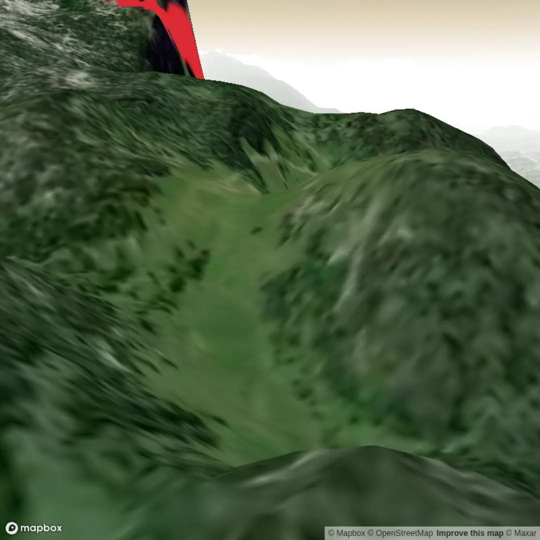
You top out onto the Parmelan plateau—a broad, pale limestone expanse. The “loop” portion usually traverses open ground with low alpine vegetation and scattered cairns/waymarks. In clear weather, navigation is straightforward; in fog, the plateau can become confusing because many faint paths braid across similar-looking rock.
On the plateau: terrain, landmarks, and navigation
The plateau is the defining feature of this hike. It’s a classic karst landscape: limestone dissolved by water over time, leaving fissures, grooves, sinkholes (dolines), and sharp-edged rock. This creates two practical concerns:
- Footing: The rock can be abrasive and uneven, with ankle-twisting gaps. Grippy footwear is essential; thin-soled shoes can feel punishing over 8 km (5 mi).
- Route-finding in low visibility: When clouds drop, it’s easy to drift onto parallel tracks. If you’re using a navigation tool, rely on HiiKER and keep a close eye on your position at junctions and on the open slab.
You’ll likely pass near a refuge/cabane area on or near the plateau (depending on the exact loop). These simple mountain shelters are common in the Haute-Savoie pre-Alps and can be a useful windbreak, but don’t assume services—carry what you need.
Views and natural highlights
- Panoramas: The Parmelan is famous for its balcony-like outlook over Lake Annecy and the surrounding valleys. On a clear day you can pick out the Aravis peaks and other Alpine silhouettes.
- Flora: On the open limestone, vegetation stays low and hardy—alpine grasses, small flowering plants in season, and shrubs tucked into pockets of soil. Early summer can be especially colorful, while late season feels more austere.
- Wildlife: You may spot chamois on quieter edges of the plateau or in the steeper flanks, and raptors (buzzards/eagles) riding thermals. Keep dogs close if you encounter wildlife, and give animals space—this is exposed terrain with limited escape lines.
Hazards to plan for (why it’s rated Difficult)
- Weather exposure: Once you leave the forest, you’re committed to open ground. Wind and sudden temperature drops are common, and thunderstorms can build quickly in the Alps.
- Wet limestone: The plateau rock can be slick when damp; the grooves and polished sections demand careful foot placement.
- Karst holes and fissures: Some gaps are narrow but deep. Stay attentive, especially if you’re tired on the return.
- Crowds and overtaking: Popular routes can be

Surfaces
Unknown
Ground
Unpaved
Comments and Reviews
User comments, reviews and discussions about the La Parmelan Loop, France.
average rating out of 5
0 rating(s)