Download
3D Flyover
Add to list
More
286.6 km
~12 days
5722 m
Multi-Day
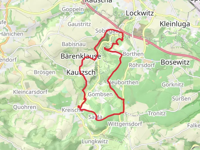
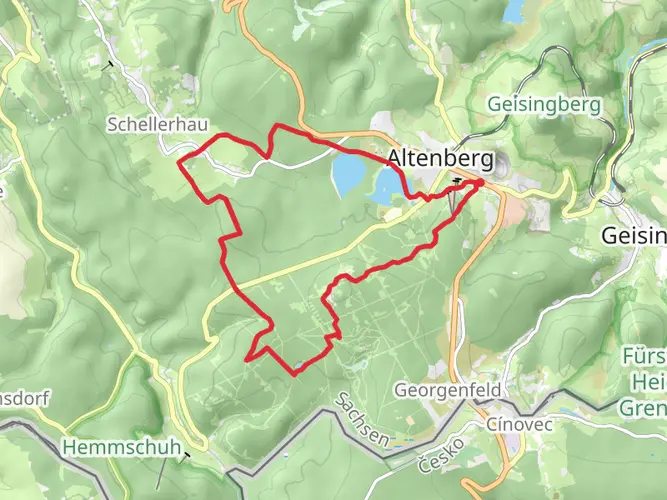
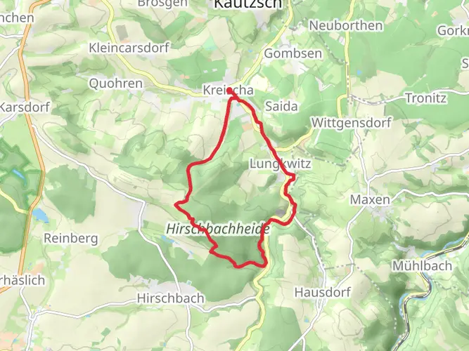
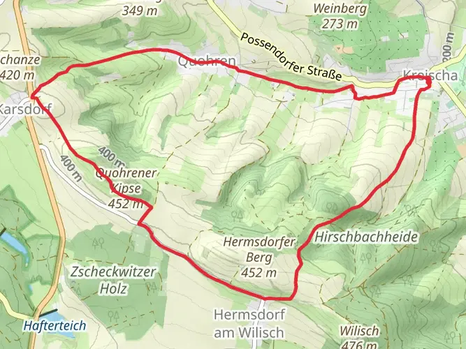
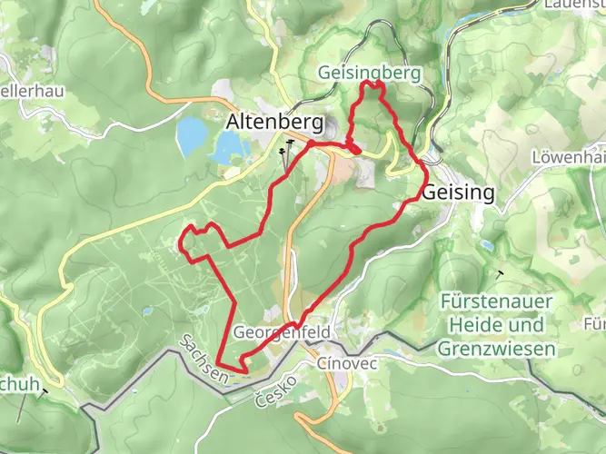
The Kammweg Erzgebirge - Vogtland is a 286.6 km trail that starts in , Altenberg, Germany. Based on our data, the hike is graded as Medium. For information on how we grade trails, please read measuring the difficulty of a hiking trail on hiiker. Also, check our latest community posts for trail updates. This hike can be completed in approx 11 days. Caution is advised on trail times as this depends on multiple variables. For more info read about how we calculate hike time.

Frequently asked questions
How many stages does the Kammweg Erzgebirge - Vogtland have?
The Kammweg Erzgebirge - Vogtland is typically divided into 17 stages. The full route runs about 286.65 km from Altenberg or Geising in eastern Saxony to Blankenstein in Thuringia, so stage lengths vary from shorter half-day walks to longer full hiking days.
How long does it take to hike the Kammweg Erzgebirge - Vogtland?
Most hikers need around 17 days to complete the Kammweg Erzgebirge - Vogtland if they follow the standard stage breakdown. With a total distance of 286.65 km and about 5,722 m of climbing, it is a medium-difficulty multi-day route rather than a quick weekend trail.
Where does the Kammweg Erzgebirge - Vogtland start and finish?
The Kammweg Erzgebirge - Vogtland starts in the Altenberg or Geising area near the Czech border and finishes in Blankenstein in Thuringia. The route crosses Saxony for most of its length before continuing west to the well-known hiking hub at Blankenstein.
What is the best time of year to hike the Kammweg Erzgebirge - Vogtland?
The main hiking season for the Kammweg Erzgebirge - Vogtland is May through October. That window usually offers the most reliable trail conditions across the Ore Mountains and Vogtland, while higher sections around places such as Fichtelberg can be much harsher outside the warmer months.
What are the highlights on the Kammweg Erzgebirge - Vogtland?
Major highlights on the Kammweg Erzgebirge - Vogtland include Fichtelberg, the highest mountain in Saxony at about 1,214 to 1,215 m, the toy-making center of Seiffen, and the Schneckenstein topaz rock, which is described as Europe’s only topaz cliff. The route also passes reservoirs, mining landscapes, and ridge viewpoints across the Erzgebirge and Vogtland.
Is the Kammweg Erzgebirge - Vogtland well marked?
Yes. The Kammweg Erzgebirge - Vogtland is a certified long-distance trail with continuous waymarking in both directions. Official route information notes roughly 4,500 trail markers and hundreds of signposts along the route, which helps make navigation more straightforward across its 286.65 km length.
Can you hike the Kammweg Erzgebirge - Vogtland without carrying your luggage?
Yes. Luggage-transfer walking packages are offered for parts of the Kammweg Erzgebirge - Vogtland, including a half-route option described as hiking without luggage. That makes it possible to walk stage to stage through places such as Holzhau, Seiffen, Oberwiesenthal, and Klingenthal without carrying a full multi-day pack.
Comments and Reviews
User comments, reviews and discussions about the Kammweg Erzgebirge - Vogtland, Germany.
4.38
average rating out of 5
8 rating(s)